Hi all,
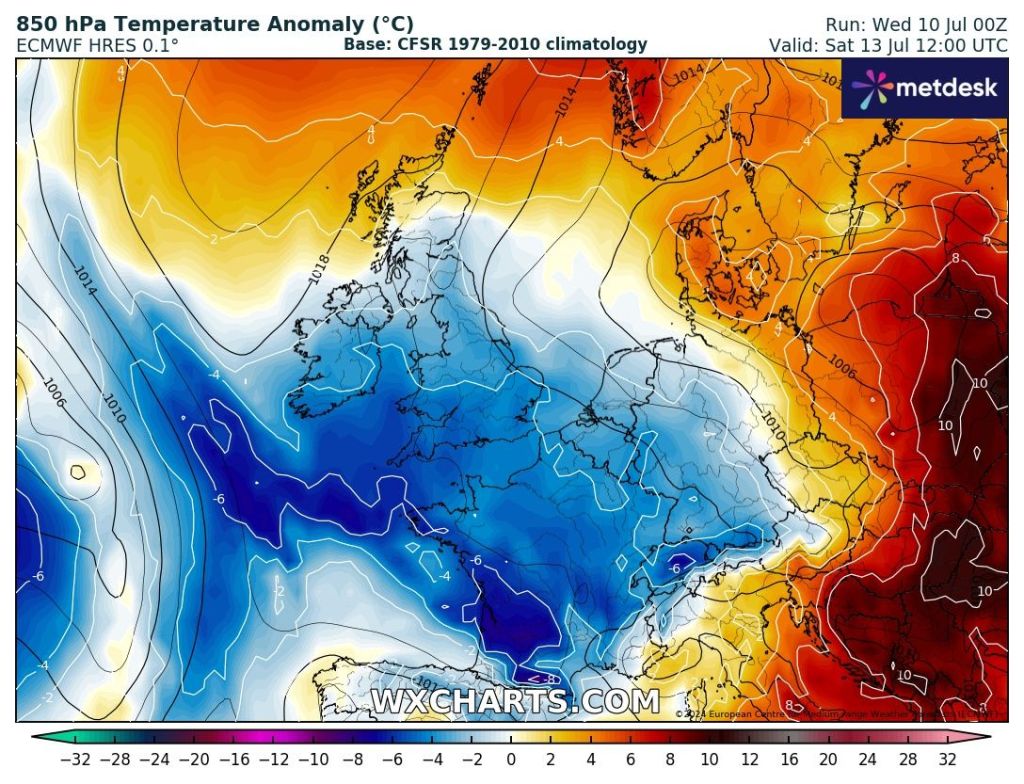
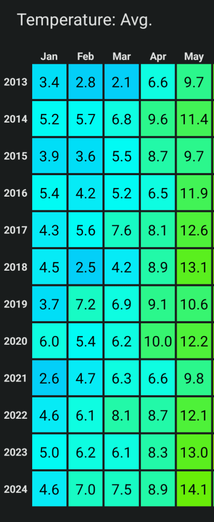
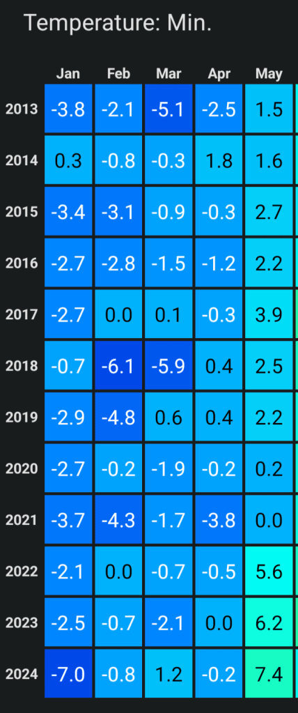
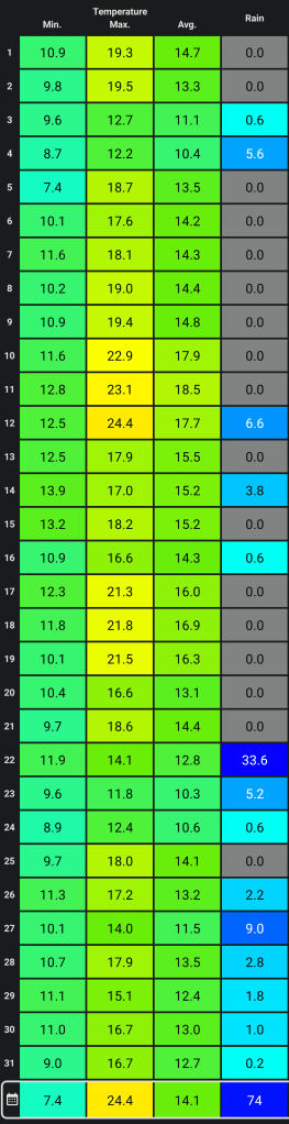
Finally something much warmer, briefly hot, but it’s not here for long before temperatures return back to normal for the weekend. But, it will be welcome after July has been disappointingly cool. Up to Tuesday, July was, on average, cooler than June and May! But warmer temperatures this week, especially with muggy nights, will lift the average somewhat.
Just to note: There isn’t a heatwave coming to the region despite what the media report and that includes a ‘mini-heatwave’ as they don’t exist.
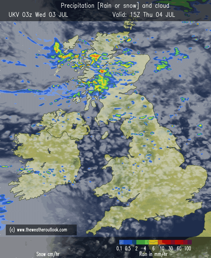
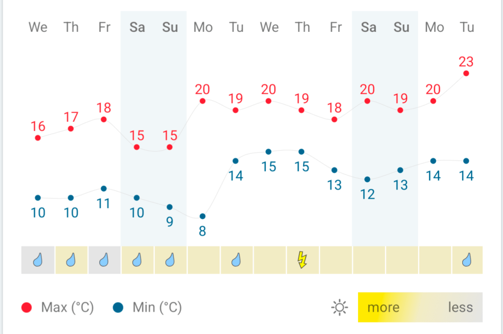
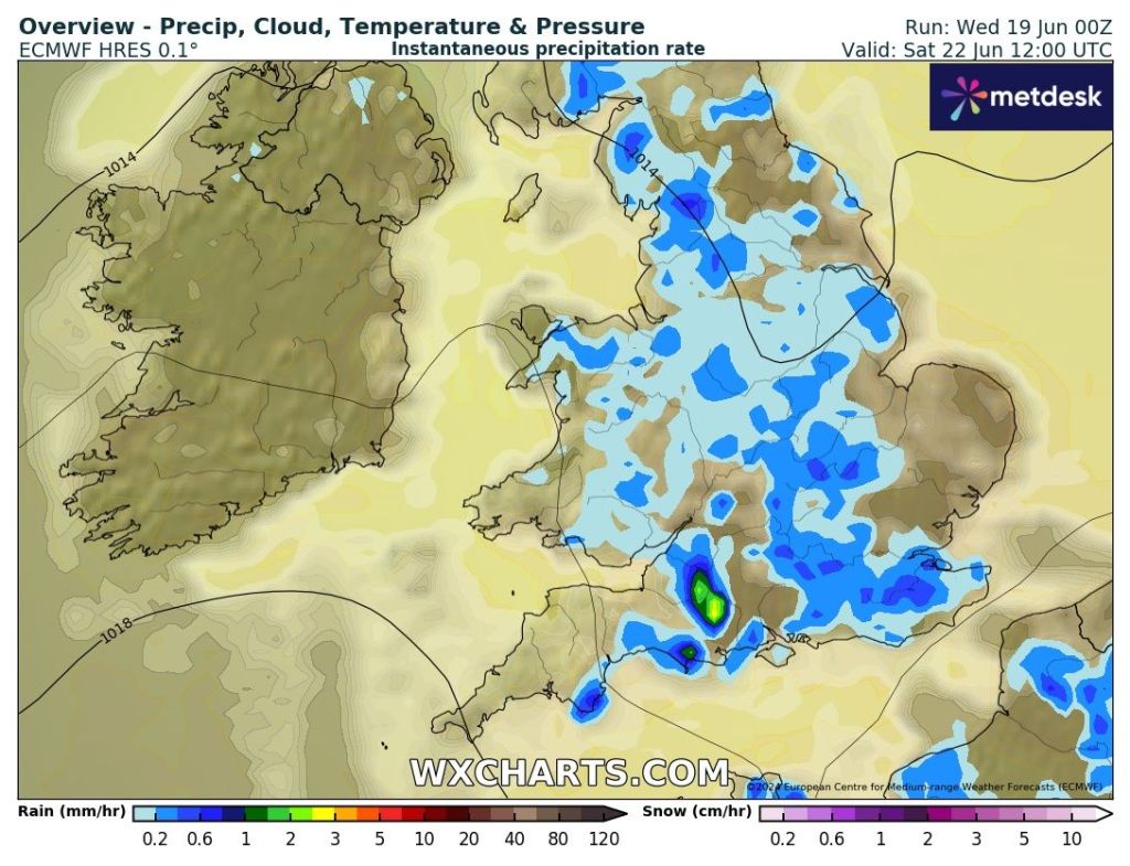
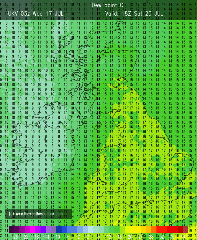
Thursday: Mostly cloudy with the odd bright spell for the morning with the odd scattered shower out west. Any sunshine will tend to become hazy as cloud spills in from the west after lunchtime and some showers could run up the western side of the region later. Humid night. Max 24°C Min 16°C
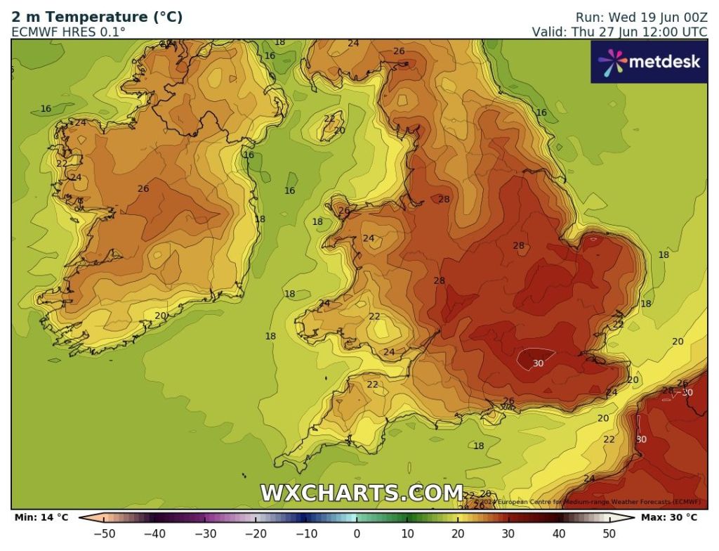
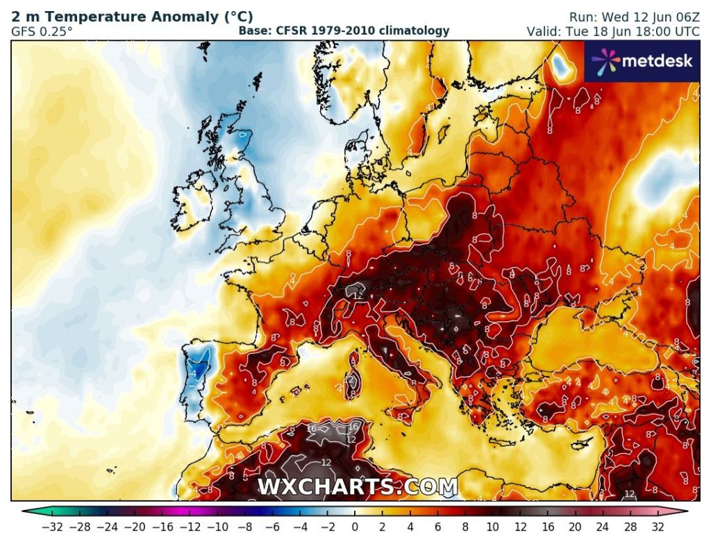
Friday: A very warm-to-hot day, depending on how far northwest the heat from the southeast can reach. Sunny spells and it should remain dry with just the outside chance of a shower. Warm night. Max 25-27°C Min 15°C
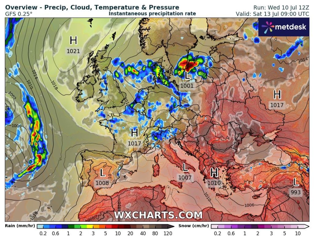
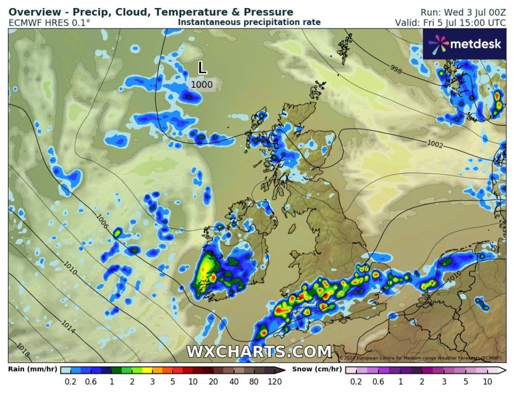
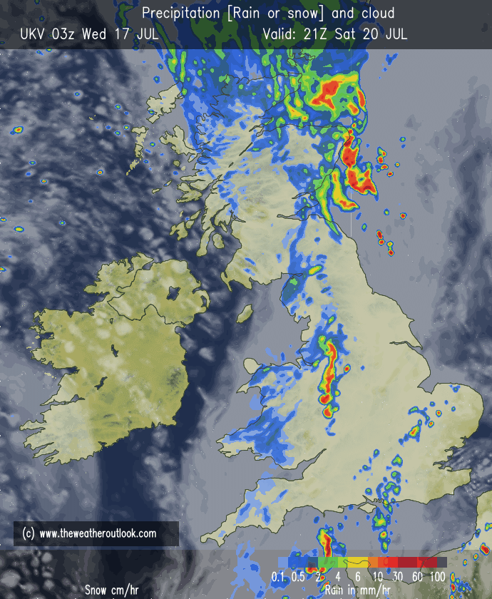
Weekend: We lose Friday’s heat and temperatures will return to around normal after a cold-front moves through. Turning unsettled during Saturday.
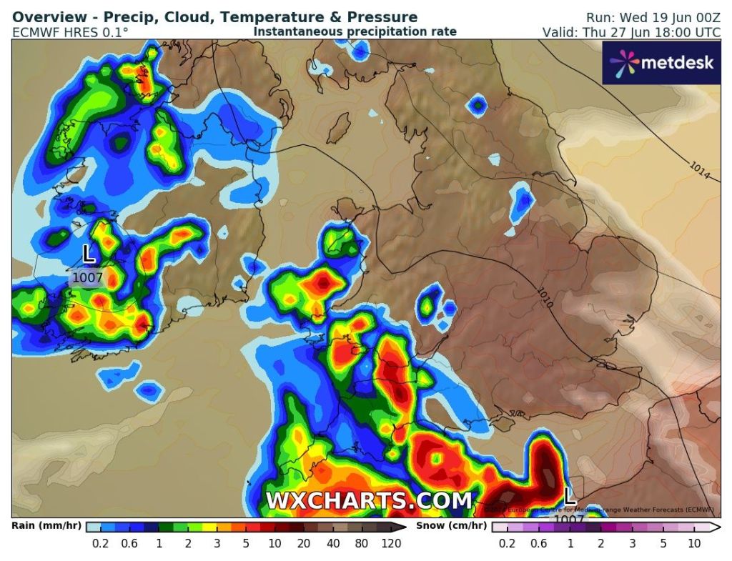
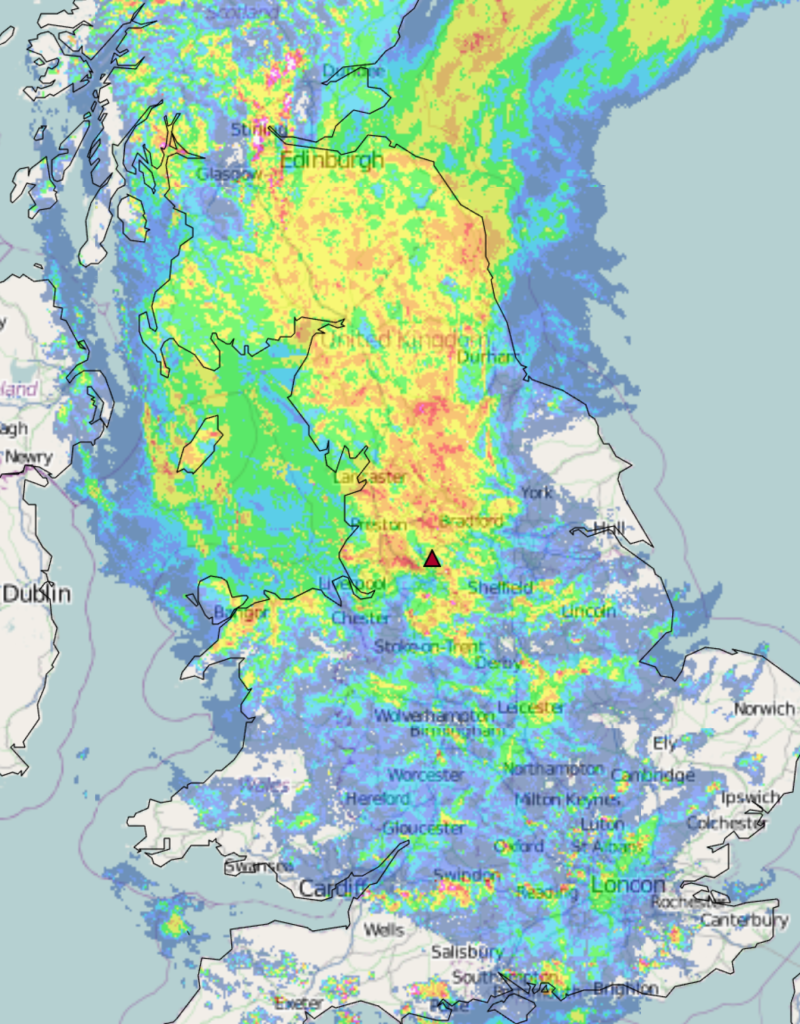
Saturday: Sunny spells for the morning but then cloud will increase and a band of thundery showers will move through later in the day. This will introduce much cooler air. Breezy later. Max 23°C Min 12°C
Sunday: A better day with sunny spells but only after morning showers have eased away. Much fresher now and windy at times too. Max 20°C Min 11°C

Outlook: I can’t see any sign of another warm/hot spell with conditions/temperatures expected to be disappointing for the time of year with occasional bright spells and showers. So generally unsettled but with the odd drier spell in between bands of showers.
I guess September will be a decent month then? Because summer isn’t behaving.
Follow @ChadWeather on X for the latest forecasts and warnings.
Thanks,
Jon
Forecast Issued: Wednesday the 17th of July 2024 at 4:36pm.
Images: http://www.theweatheroutlook.com