Hi all,
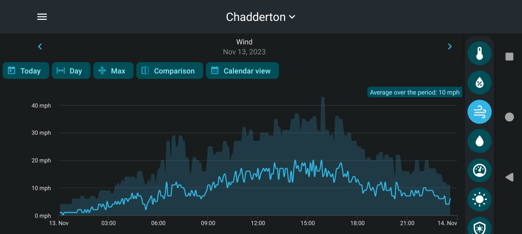
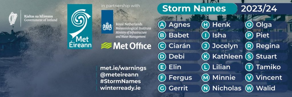
It’s been a turbulent week. 7 days. 2 named-storms. We’ve now had 10 storms this season. Will we see more before winter is out? Probably yes, but currently no sign of one in the immediate future. Also, little sign of wintry conditions with even frosts redundant.
Unfortunately though, there will be more rain and not much in the way of sunshine, bar Friday.
Thursday: Cloud will have spread in from the southwest overnight. So it will be a wet morning with showery rain moving northeast. Bit of a dry spell and then into the afternoon and evening further showers will move in from the southwest. We are introducing a warm sector though, so it will be very mild for the time of year. Max 13°C Min 8°C

Friday: We lose the warm air as cold fronts move through the region. These will bring some showers for the morning which should soon disappear and with a ridge of high pressure building from the south, it should be a much better day with sunny spells but remaining breezy and notably cooler. Cold overnight with a ground frost. Max 8°C Min 2°C

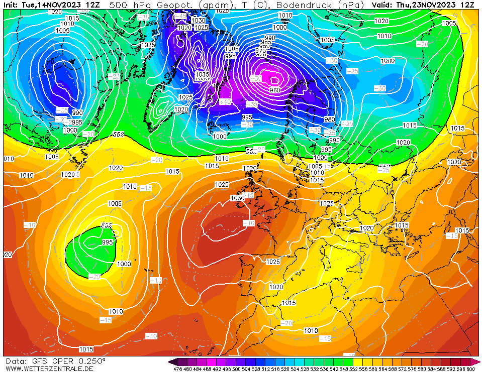
Weekend: Weather systems to the northwest, high pressure to the south of the UK.
Saturday: A weak cold-front will move through the region bringing a spell of rain but this is not expected to last too long as it will weaken. Quite breezy. Max 9°C Min 5°C
Sunday: A mostly cloudy day as expected and again it will be another breezy one. Just a chance that the cloud might be thick enough for a little bit of drizzle at times as another weather front decays over the region. A little milder. Max 11°C Min 6°C
Outlook: It’ll be mild at first with temperatures into double-figures. The week does look quite unsettled though with rain at times and temperatures slowly cooling off slightly as the week goes on. But no significant cold or frosts are expected and at the moment it won’t be windy enough for any more named-storms.

Follow @ChadWeather on X for the latest forecasts and warnings.
Thanks,
Jon
Forecast issued: Wednesday the 24th of January 2024 at 7:23pm.
Images: http://www.wxcharts.com & Met Éireann.