Hi all,
That’s our first winter cold snap out of the way. Didn’t last long but a few sharp frosts under our belt. There are a few rumours knocking around about snow falling on Election Day……
Thursday: A chilly start. Atlantic winds return bringing thickening cloud from the west. Drizzle will develop as the afternoon progresses so a damp end to the day is likely. Milder and windy with 35mph gusts, especially later. Max 10°C
Friday: After a very mild night with temperatures in double-figures, a front will spread some patchy rain southeast. Showery conditions follow and it will turn cooler during the day. Max 11°C
Weekend: Saturday the better day.
Saturday: Dry and bright, then cloud thickening from the west into the afternoon with perhaps the odd shower. The breeze picking up later ahead of heavy rain overnight. Max 9°C
Sunday: Any early rain clearing to a day of blustery showers, some heavy. Windy. Max 10°C
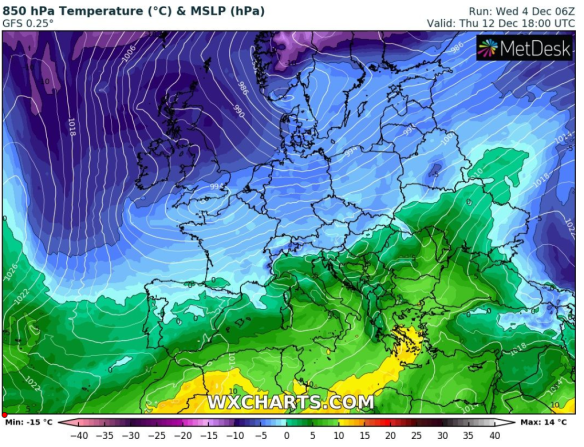
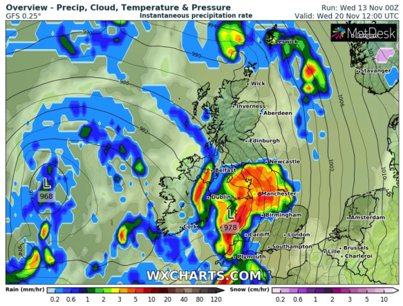
Winds turning north or northwesterly later next week opening the gates to much colder air
Outlook: Monday looks dry with sunny spells, then unsettled again. Turning colder from midweek with a risk of some wintry showers, possibly giving a covering of snow on the hills.

UK snow depths by the end of next week
Follow @ChadWeather for the very latest weather forecasts.
Thanks for reading.
Jon
Forecast Issued: Wednesday the 4th of December 2019 at 3:05pm.
Images: http://wxcharts.eu/