WOW! It’s August already. Where is this year going? Even one high street retailer has started the Christmas ball rolling this week; just crazy! As for our summer, it’s taking its usual path but what next as the media yet again publish made-up, guesswork nonsense about a ‘MONSTER HEATWAVE to last until September’.

The clueless media predict heat next week when in fact it will be cool
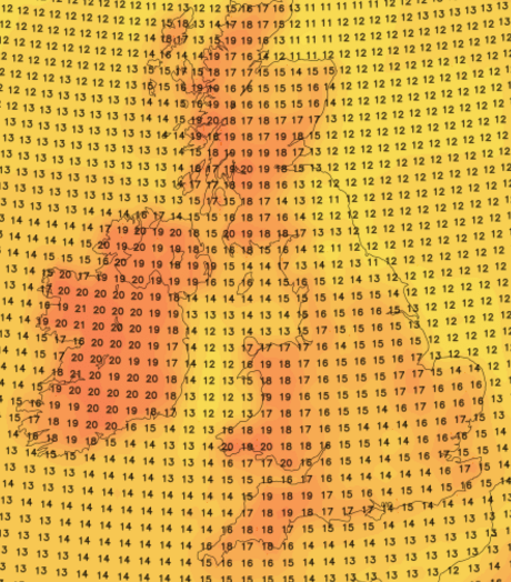
Thursday: Cooler with a northwesterly wind bringing some hefty showers to the region, some could be thundery. Drier into the afternoon. Temperatures down on recent days. Breezy. Max 18°C.
Friday: The low pressure that’s been around most of the week has slipped into the North Sea, so any showers should start to ease away and become confined to eastern areas. Bright spells developing from the west. Max 19°C.
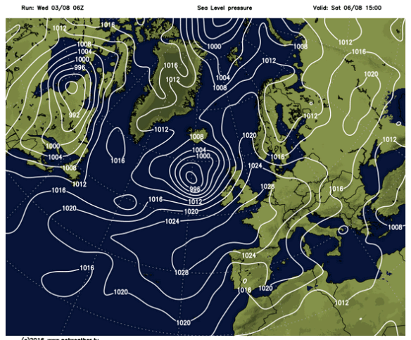
Low pressure to the NW and high pressure to the S this weekend
With low pressure arriving to the northwest and high pressure building to the south, we are sandwiched in between this weekend. However, with a southwesterly airflow, temperatures will start to recover.
Saturday: Quite a lot of cloud over the region but some bright spells are likely, which will lift the temperatures and make it feel warm. A risk of some rain from the southwest into the afternoon or evening. Breezy. Max 22°C.
Sunday: It should be less windy as high pressure nudges up from the south. Any early rain should clear to leave a day of bright spells and generally drier. Not as warm as Saturday. Max 20°C.
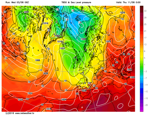
Cooler air into next week
After a settled start to next week, it looks likely to turn cooler and unsettled with temperatures below normal. Later in the week, we could even have a northerly airflow across the UK. There is zero sign of a MONSTER HEATWAVE. Those media clowns start spouting off when the temperatures gets into the mid 20s down south, usually the southeast, and yes this is likely for a few days, but it will not be prolonged, and it will certain not be a monster. They print nothing but made-up stories to sell papers and get you, the public, clicking on their links. Don’t do it.
Follow @ChadWeather on Twitter for all your local weather updates, especially for Manchester and its surroundings areas.
Thanks for reading and feel free to share.
Jon