Hi all,
Rumours of some summery weather on the way. More about that shortly, but what’s coming up in the next 4 days?
Thursday won’t be too bad overall but as well as sunny spells some showers are expected. A brisk cool westerly wind though and disappointing temperatures. Max 13°C.
On to Friday and it’s particularly unsettled. Low pressure to our northwest is in charge. Frequent showers during the day with some hail or thunder likely. Hopefully these showers ease off later in the day. Windy and cool once again. Max 12°C.
The weekend is split with Saturday your best day.
We start the weekend with a ridge of high pressure nudging in from the southwest so a settled day with some sunny spells. Pleasant in the sun and a dry day but still temperatures below average. Max 14°C.
The gardens will enjoy some more rain on Sunday. A wet morning with rain at times from the west. Later on, it will be more of a showery theme and remaining cool. Not a great day with another low pressure influencing. Max 13°C.
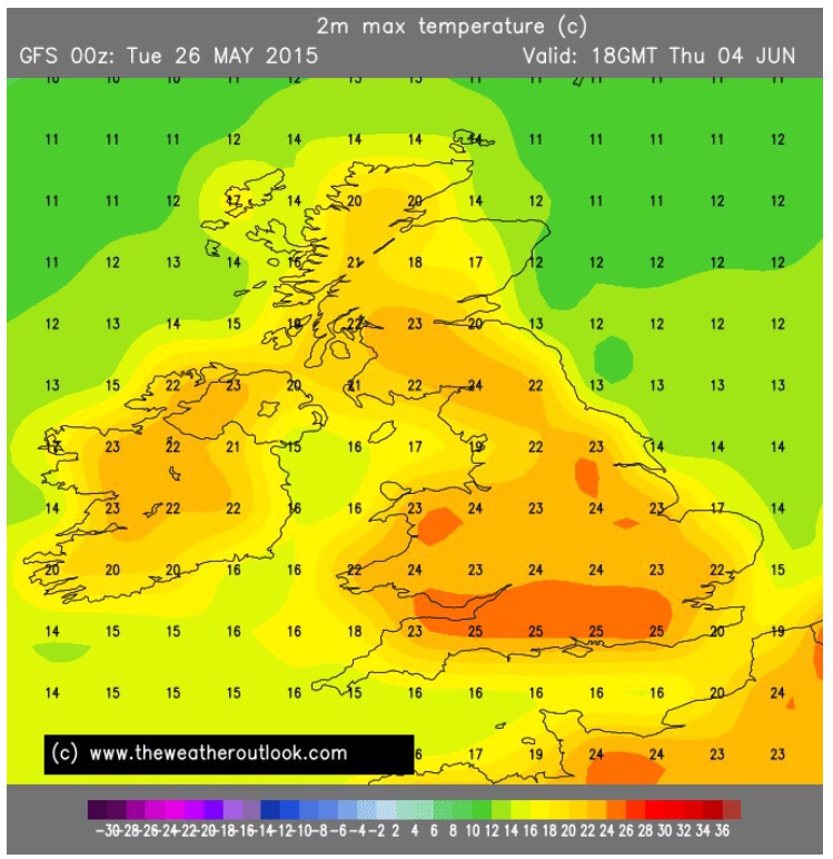
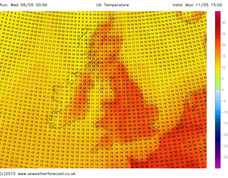
Looking ahead it remains unsettled with further spells of rain or showers and cool. However, at the moment, it looks like later next week high pressure builds from the south and as well as some drier weather with sunny spells, the temperatures should begin to rise. I’m hoping we see some into the 20s. In the current time-frame there’s still a chance for it to change. As always, keep in touch with @ChadWeather on Twitter for your local weather updates.
Thanks,
Jon