Hi all,
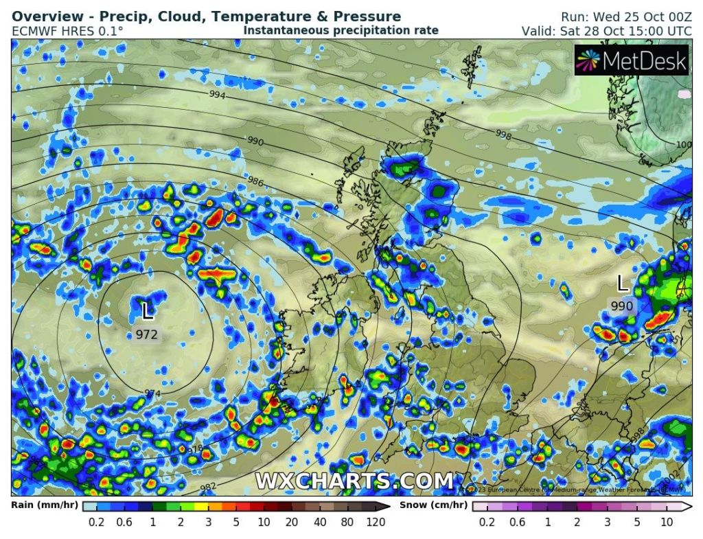
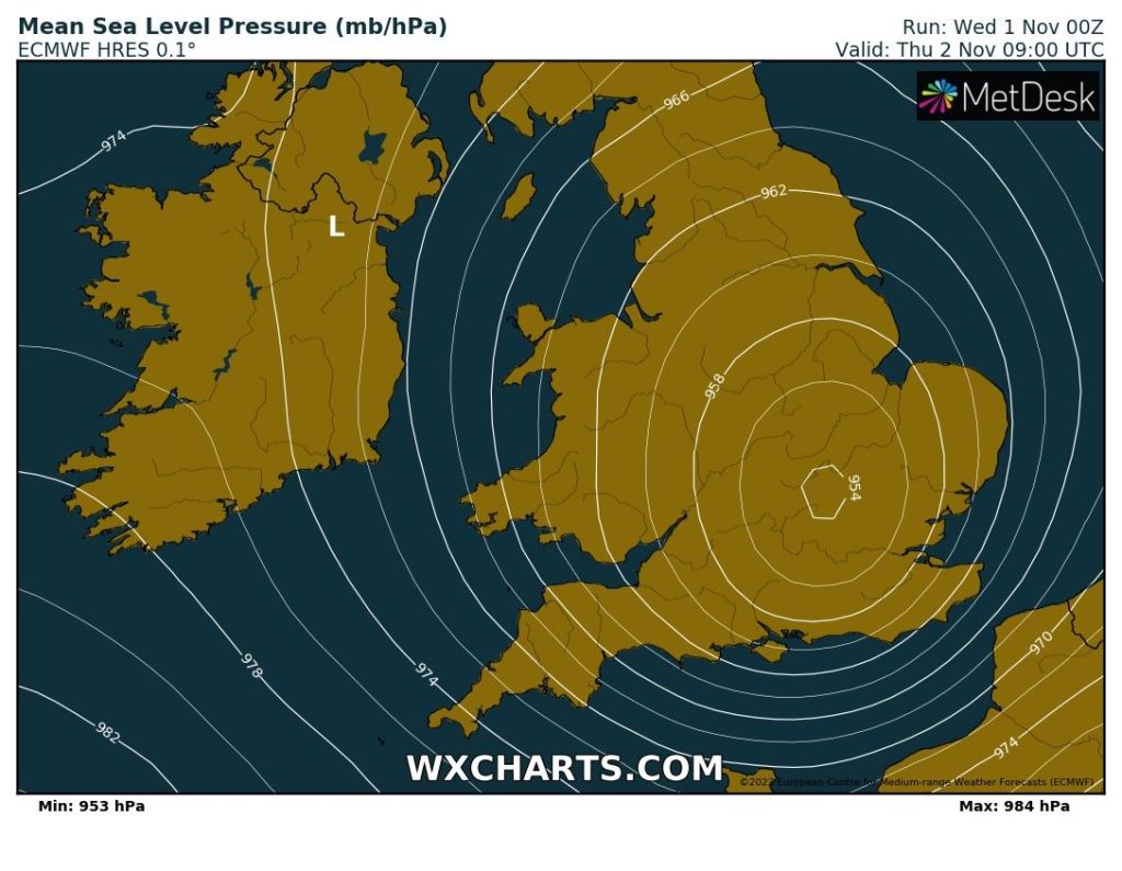
I mentioned last week about the possibility of another named-storm this week and Storm Ciarán was named a few days ago. It will bring some destructive winds but luckily for most of the UK, these will be in northwest France and the Channel Islands, where we could see gusts of over 100mph.
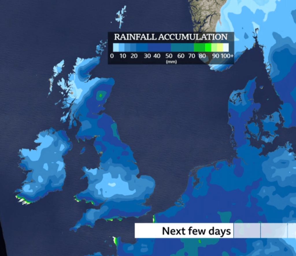
We will dodge the bullet, but the storm will bring us a spell of rain and reasonably gusty winds overnight Wednesday. But overall, it will be a non-event for us.
However, with us being close to the centre of the low we could see some record low pressure values being recorded.
My current record is 961.16mb in February 2014, where incidentally I recorded my strongest ever gust on this day too, of 72mph. Thursday morning is forecast to bring the pressure down to 959mb, so it’s going to be close.
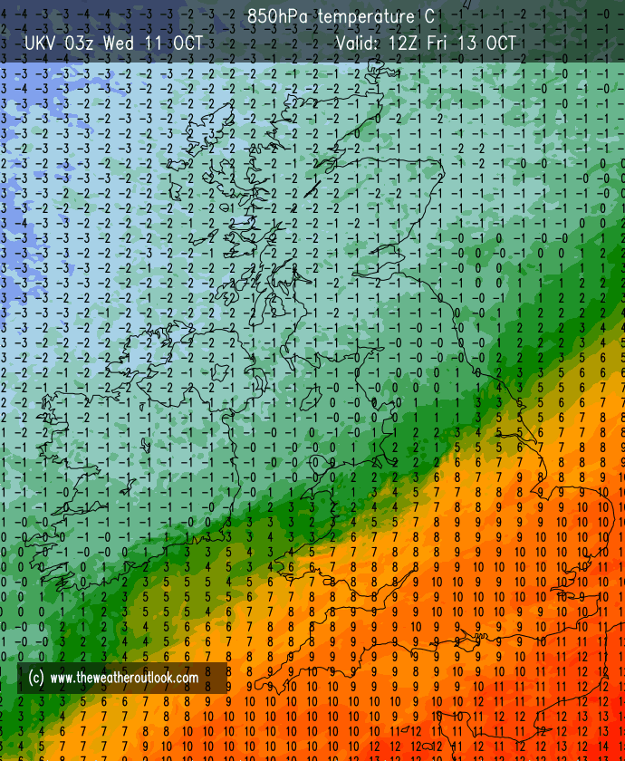
I’ve seen the usual suspects in the media predicting, freezing temperatures and snow. There is currently no sign of this happening, so as usual ignore the clickbait.
So, what is the forecast for the next 4 days?
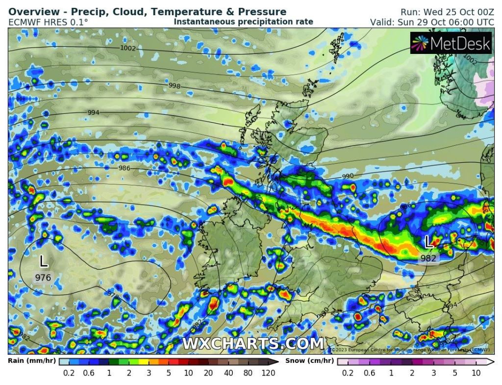
Thursday: Storm Ciarán will be battering parts way to our south but it’ll be nothing but a breezy one for us after a windy spell during the early hours. It will then be a day of showery rain coming and going, some heavy bursts and some drier spells in between. Feeling cool. Max 10°C Min 7°C
Friday: A better day but breezy. Cool winds and bright spells and a few showers. Max 10°C Min 5°C
Weekend: Chilly.
Saturday: I’m hopeful for a mostly dry morning albeit quite cloudy, with patchy rain arriving for the afternoon on an easterly breeze. Cool. Max 9°C Min 5°C
Sunday: Bright spells and scattered showers. Max 10°C Min 7°C
Outlook: Remaining showery with south-westerly winds which will be gusty at times. Nothing significantly colder or milder. Hard to find a dry day.
Follow @ChadWeather on X for the latest forecasts and warnings.
As always, thank you for stopping by to read my weekly blog.
Thanks,
Jon
Forecast Issued: Wednesday the 1st of November 2023 at 5:50pm.
Images: BBC Weather & http://www.wxcharts.com