Hi all,
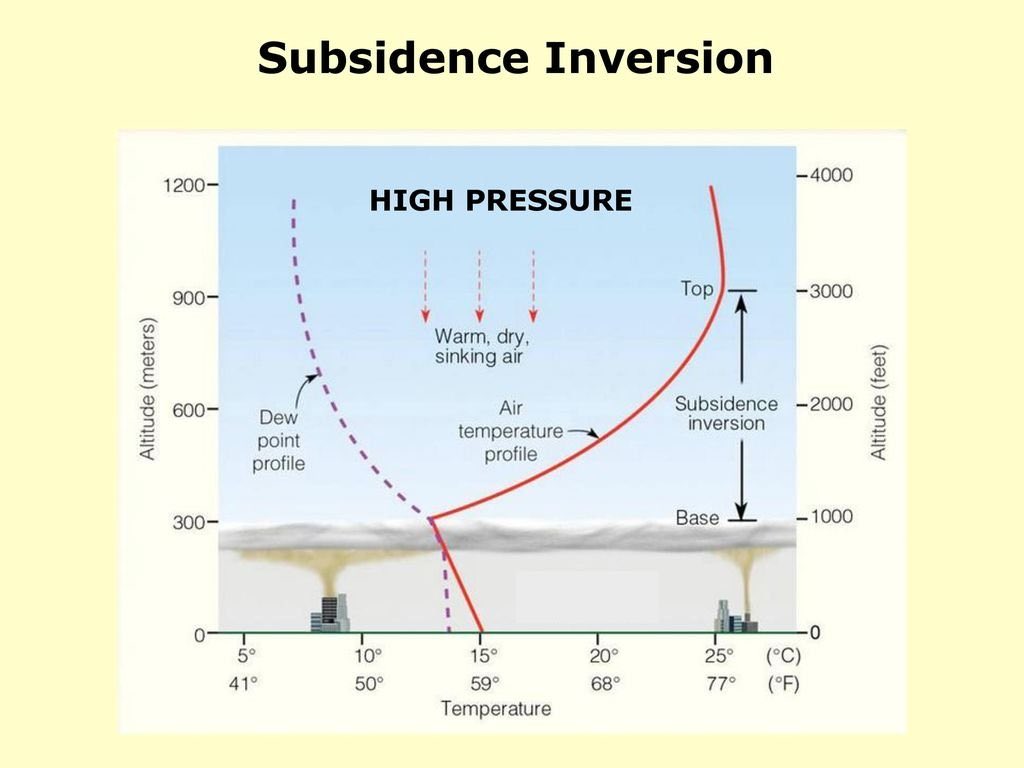
Not much has been happening this week as we have been stuck under a large area of high pressure. Unfortunately it wasn’t a sunny high pressure as cloud has become trapped underneath the pressure pattern in what’s known as anticyclonic gloom.
At least there have been some inversions around leading to sunnier skies if you venture high up.

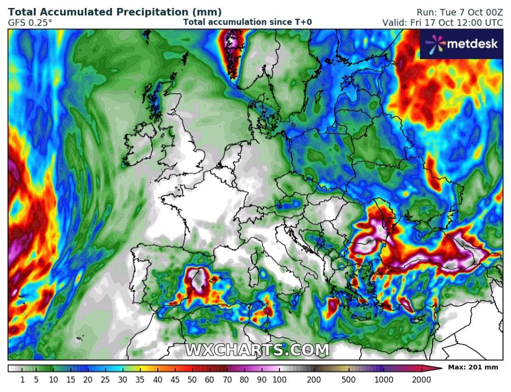
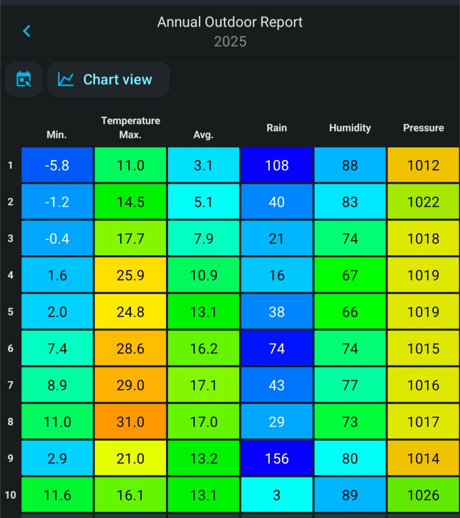
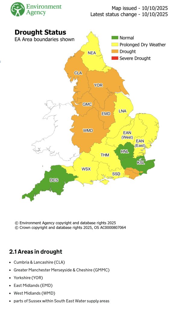
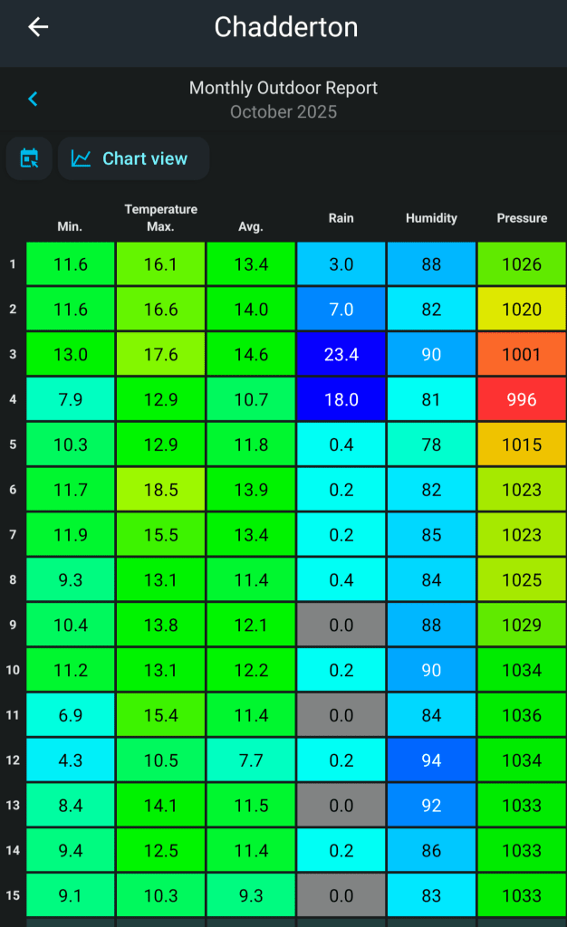
It’s been a “dry” 10 days now with rainfall limited to patchy drizzle. This break has been welcomed after a very wet September and start to October. That said, we are still well below average for the year and under drought conditions.
Thursday & Friday: Another dry day with plenty of cloud. Overcast conditions widespread once again, but there could well be some bright spells in western areas for a few lucky ones and also there could be a few bright spells peeking out of the cloud on the highest hilltops. Temperatures similar to the last few days. Max 13°C Min 6°C
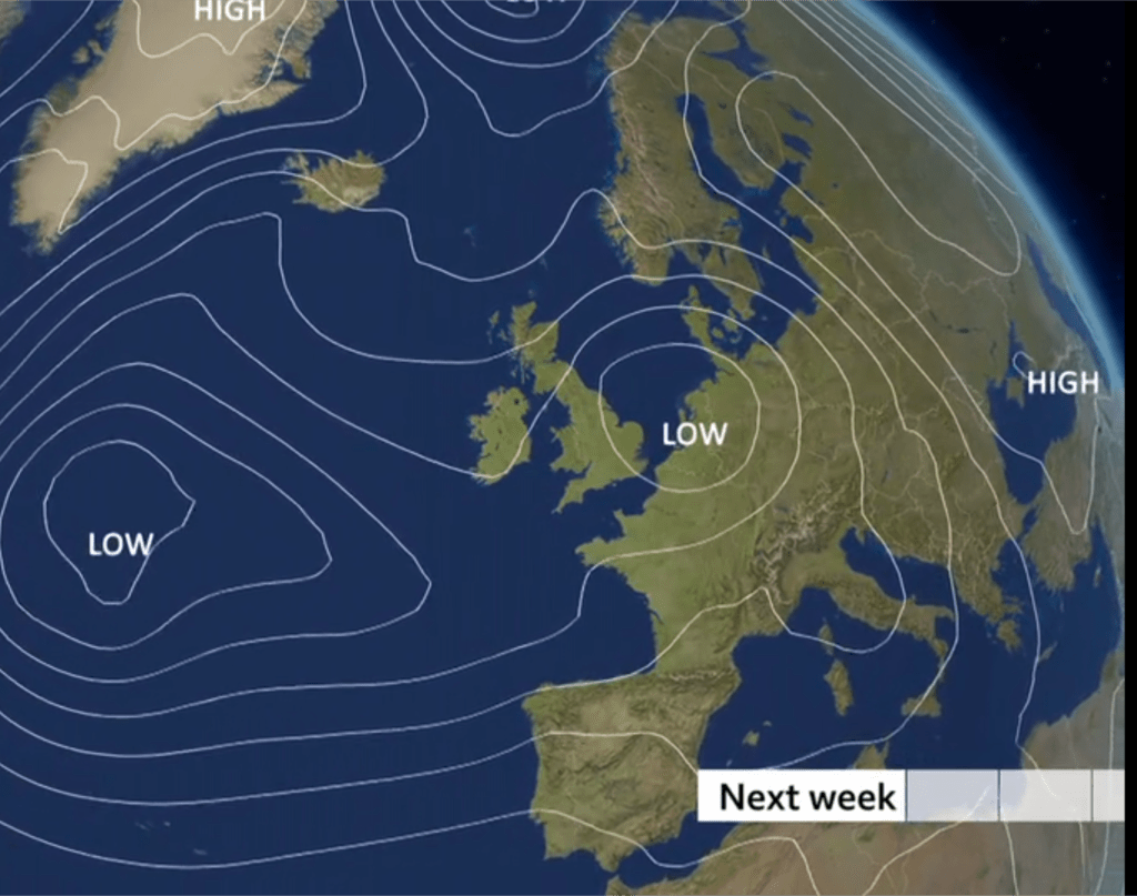
Weekend: Changes slowly arriving.
Saturday: We will start to pick up a southeasterly breeze now and this will help to break up the doom and gloom. Another dry day with sunny spells developing. Max 14°C Min 8°C
Sunday: The wind will continue to increase but this won’t mean more sunshine. In fact weather-fronts and low pressure will be approaching from the west. Cloud will thicken and we can expect some patchy rain to start to move in. Timings are a little uncertain at this stage but rain most likely from early-afternoon. Feeling cool in the gusty wind. Max 14°C Min 9°C Max Gusts 25mph
Outlook: More of an unsettled mobile weather pattern with the Jet Stream across the UK. Showers or spells of rain with drier and brighter skies in between. Temperatures hovering in the early-teens with no sign of anything significant cold (ignore the media) or warm. Looks like no Indian Summer spell this year.
Follow @ChadWeather on X and Bluesky for the latest forecasts and warnings.
Thanks, as always for reading, and if you can, please repost it on X/Bluesky to help others plan their weekend.
Ta,
Jon
Forecast Issued: Wednesday the 15th of October at 12:42pm
Images: BBC Weather (and the inversion below the hills is off X. Apologies but I can’t remember who I got it from).