Hi all,
March is coming to an end and although it has been a month with a lengthy dry spell, it has still been wet overall and cold. In fact the average day and night temperature is on a par with January. It has been quite lively recently with some thundery showers with hail and even some hill-snow but we’re heading into a slightly more settled spell.
Thursday sees a little ridge of high pressure over the region, meaning light winds and some sunny spells especially into the afternoon but with the odd shower. The morning could see some fog patches and a frost. Max 10°C but feeling pleasant in March’s strengthening sunshine.
A cold start to Friday, again some mist and a patchy frost possible. After early brightness it will cloud over and the wind will freshen from the south-west. Rain will slowly arrive late in the day. Max 8°C which is chilly for the time of year.

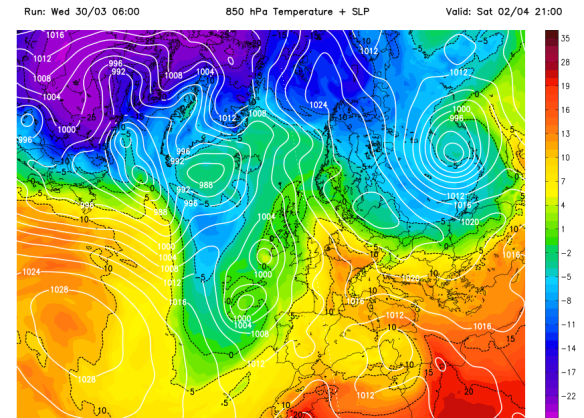
A south-easterly airflow over the weekend
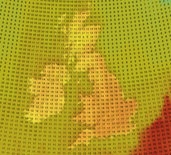
Early rain clears north-westwards on Saturday then brighter and hopefully even sunnier skies from the south and south-east for the afternoon. In areas that stay cloudy then we’ll see a max of 10°C but in any sunnier spots and with the milder airflow then 13°C may be possible.

Some warmer air from the continent possible this weekend especially towards the SE
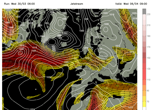
Looking ahead and into next week, and it looks like the cooler air will return from the west with plenty of showers. No real sign of any Spring-like warmth for us with temperatures approaching 20°C.

The Jet Stream looks set to return into next week – cooler & showery
Thanks for reading,
Jon
Photos/Data: http://www.ukweatherforecast.co.uk
Forecast issued at 15:00 on Wednesday the 30th of March 2016
Thanks for reading,
Jon
