Hi all,
So we’re about 10 days into November and some areas have already experienced a ‘winter’ feel with some snow falling on higher ground on Tuesday night and into Wednesday. This is much earlier in the year/season than we are normally accustomed to. As things stand, the ingredients are all there for this coming winter to be a colder-than-average one and possibly, in my opinion, the coldest since 2010/11. Time will tell.
Thursday: An improvement on recent days with bright spells and milder. Some showers expected which could be heavy. Drier into the evening. Max 8°C
Friday: A little cooler again so a fresh feel but better with bright spells and mostly dry conditions. Rain will be trying to push in from the west overnight. Max 7°C
Not a great start to the weekend.
Saturday: Rain heavy at times makes slow progress across the region and slightly milder, showery weather follows. Breezy. Max 10°C
Sunday: Any showers should ease away and an improvement during the day. Bright spells and hopefully most places dry into the afternoon. Max 9°C
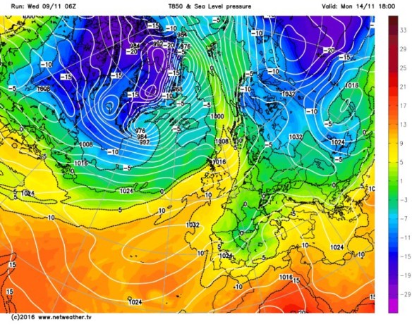
Looking ahead and next week looks milder but possibly only for several days then the cooler air returns. Whilst mild, expect some showers or longer spells of rain.
Keep up to date with your local weather forecasts by following @ChadWeather on Twitter.
Thanks,
Jon
Images: http://www.netweather.tv
Forecast Issued: Wednesday 9th November 2016 at 12:20

