Hi all,
This is one of the most benign forecasts I’ve ever written in my blog. The weather is stuck in a rut and the last few days have been depressing. Drizzle, mizzle, fog, low-cloud and darkness. Horrible.
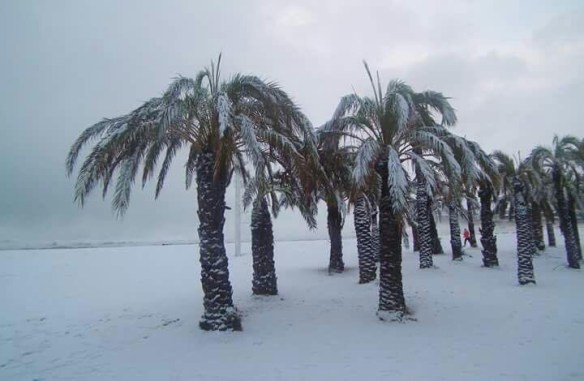
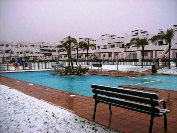
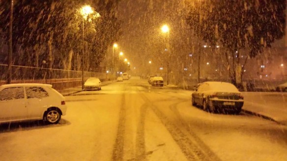
To top things off, as you know I’m a cold- and snow-lover, even Spain has been seeing snow today.

@barrabest on Twitter: Xàbia (Jàvea) Beach on the Costa Blanca, just north of Benidorm, in Spain today. Photo via Patricia Smyth McKeown.
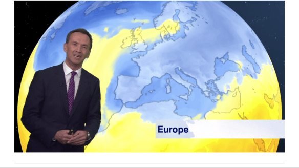
Most of Europe has been cold and snowy and this cold air has extended to most countries bar the U.K. (the SE being an exception for once).
So, are we into for a share of this widespread cold. Well we will all become a little colder towards the weekend but we won’t get any snow or anything resembling very cold conditions.
We have high pressure in charge of our weather but for us it’s a ‘cloudy high’, which means we’ve dragged in a lot of cloud from the west which is ‘trapped’ and can’t escape. With the sun weak at this time of the year, there’s no strength in it to even attempt to burn off the cloud. This leads to a bland outlook.
Oh, one thing this weather has done, is broken one of my records. The difference between the Max and Min temperatures during a day, is called the diurnal temperature variation. My previous record was 0.9°C in January 2013. This was beaten on Tuesday 17th January 2017 with the range being just 0.8°C thanks to the lack of sun and damp/dull/misty conditions.
See all records here; Chadderton Weather Records.
Thursday: Cloudy and dull, some local drizzle. Misty on the hills. Light winds. Max 8°C
Friday: Another cloudy day. Slightly cooler than yesterday. Again, we can’t rule out drizzle or mizzle. Max 6°C
Saturday and Sunday: An easterly airflow will drag in some slightly colder air so noticeably chilly across the region. There should be enough cloud-cover to limit any frost. Mostly cloudy during the day but a chance of some brightness especially on Sunday. Max 4°C
Looking ahead: Settled early next week before things look to turn unsettled from the west with rain and milder temperatures. Wanting snow and some ‘proper cold’…..then forget it until February.
Keep up to date with my local forecasts on Twitter by following @ChadWeather.
Thanks,
Jon
Forecast issued: Wednesday 18th January 2017 at 14:20
Images: From Twitter and credited above and BBC Weather


Down south it was actually cold last night
http://www.metoffice.gov.uk/public/weather/observation/gcpjfwr1y