
Hi all,
Winter is still on the horizon but after a frost this week and a chilly outlook, it will be here sooner, rather than later. A lot of media stories this week; “Coldest Winter in 11 years” etc. etc. Just ignore them. It’s complete guesswork. No-one knows what this winter will bring. Got to love their annual BS.
Thursday: A mostly cloudy start with a risk of some patchy rain moving through but it will soon clear to leave a decent day with plenty of sunny spells and dry. Good news for those off to the Big Bang at Oldham Edge in the evening. Max 12°C
Friday: Cloudy with some light rain or drizzle dotted about especially so into the evening. Some bright spells can’t be ruled out in the odd sheltered location during the morning. Rain overnight. Max 11°C
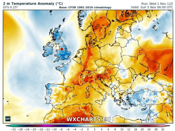
Colder than average this weekend
Saturday: Any early morning rain clearing then colder with bright spells and showers which could fall as hail. Feeling cold in a gusty northwesterly wind. Max 9°C
Sunday: Bright spells after a chilly start. Risk of some showers on the keen breeze but these should ease as the day progresses. Remaining cold with temperatures just below average and a frost likely overnight. Max 9°C
Outlook for the rest of next week: High pressure builds from the west, so plenty of dry, settled weather. Not bad during daylight hours with light winds and sunny spells. Some patchy frost and fog overnight. Just one exception is Tuesday where we could have a narrowing band of rain and wind sweep through quickly.
October 2017
Max 19.4°C (16th)
Min 0.9°C (30th)
Av. 11.6°C
Wettest 21.4mm
Windiest 44mph
Rain 105.6mm
Rainy Days 20
Dry Days 11
Follow @ChadWeather on Twitter for the latest forecast for your area.
Cheers
Jon
Images: www.wxcharts.eu
Forecast Issued at 8pm on Wednesday the 1st of November 2017
