Hi all,
The chilly feel has continued in November and although we’ve had a few days here and there with milder, damp weather, there’s not been a continous deluge of rain. Currently we’ve only had 29mm (102mm is the monthly average). Is the colder weather a sign of things to come? With La Nina underway there is an increased chance of a colder start to winter. See Liam Dutton’s video for more, La Nina.
Not only is Liam’s video informative, it is also keeping it real.
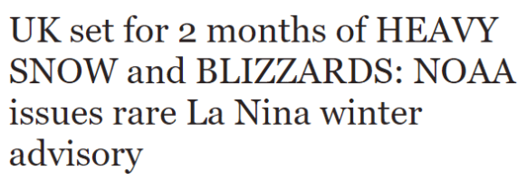
The latest Daily Express headline is more of their clickbait tactics, with over-the-top headlines and untrue statements.

Moving on……
November Stats so far:

Thursday: A band of patchy rain will move southeastwards during the morning and early afternoon to be replaced by sunny skies and drier conditions but with it, colder air. Max 10°C
Friday: High pressure out west so a settled day with sunny spells and a cold northwesterly breeze. Just the odd shower possible. Max 9°C
Saturday: A breezy day with perhaps a spell of cloud and light rain for a time in the morning. Bright spells developing later with a few showers and still cold. Max 8°C
Sunday: A bright, cold start, perhaps frosty, then cloud increasing with some milder air coming in from the west bringing with it rain as we get into the late-afternoon and evening. Max 8°C
Outlook: Dull and damp on Monday but hopefully drier and brighter thereafter, as high pressure builds. This increases the risk of fog and frost. No snow on the horizon but it will remain cold with temperatures struggling to double-figures.
Follow @ChadWeather on Twitter to keep up to date with the forecasts.
Thanks,
Jon
Forecast Issued: Wednesday 15th November 2017 at 12:30pm
