Hi all,
Finally we’ve had a Bank Holiday Weekend without rain and a reasonable spell of weather. It’s not been too hot and much drier than previous months but will it continue?
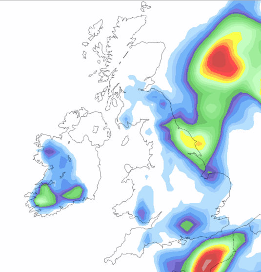
High pressure will be sitting to our northwest on Thursday allowing a cool breeze to develop across the region. It will also be cloudy with some light rain around but this will be patchy and not everyone will see some. Sunny spells possible into the afternoon and evening. A little cooler than Wednesday. Max 15°C.
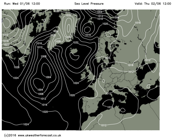
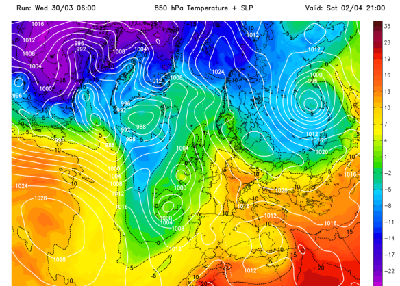
High pressure to the NW of the UK on Thursday giving a northeasterly breeze
As well as it being mainly dry and cloudy on Friday some sunny spells will try to develop. Just a chance of an evening shower, but I’m not too worried for my trip to see the T20 Blast between Lancashire and Yorkshire. Max 17°C.
It looks like the weekend will improve as it goes on.
Saturday will be cloudy with a risk of localised drizzle or light rain early on, but skies will brighten and expect some sunny spells. These might trigger a shower or two later but the risk isn’t too high. Max 19°C.
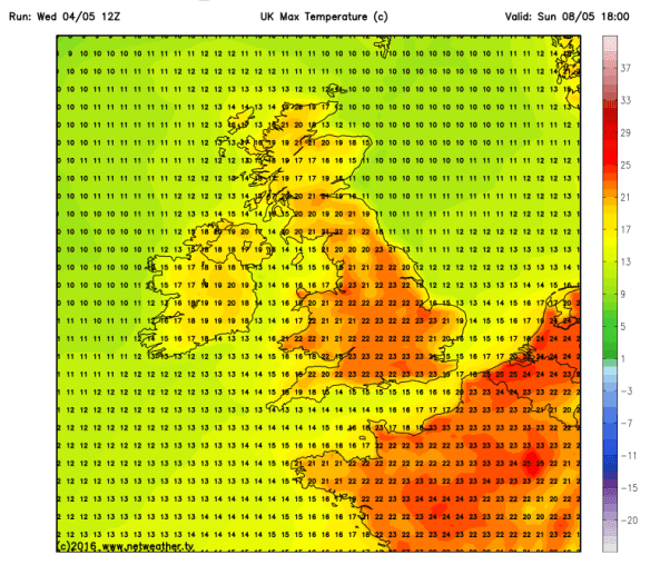
As we enter Sunday more widespread sunny spells are likely as the cloud of recent days breaks up and pleasant conditions develop. A bit warmer too. A risk of some heavy, possibly thundery showers later, especially in the southeast. Max 21°C.

Remaining pleasant into next week with temperatures just in the 20s
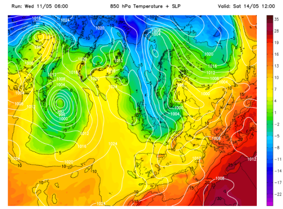
All-in-all not a bad forecast and as we go into next week. It looks good with warm conditions and staying dry for most. The warmth could set off some localised showers, especially on the Pennines. Temperatures should sneak into the 20s again before showery rain poses a threat from the southwest later in the week, Thursday or Friday, which could signal a change.

A change to showery rain from the southwest likely next week (Thursday or Friday)
May 2016 Stats
Av. Temp 11.8°C
Max Temp 24.2°C (8th)
Min Temp 2.2°C (14th)
Wettest Day 14.2mm (21st)
Highest Gust 30mph (9th)
Rainfall 40.6mm (dry)
Rainy Days 15
Follow @ChadWeather on Twitter to catch all the latest weather updates for Manchester and all its surrounding boroughs.
Photos/Data: ukweatherforecast.co.uk
Forecast issued at 17:50 on Wednesday the 1st of June 2016
Thanks,
Jon