Hi all,
It seems we’re back to a typical British Summer with cloudy skies and rain. Bar the humidity, last week and the start of June was decent so will the better weather ever return?

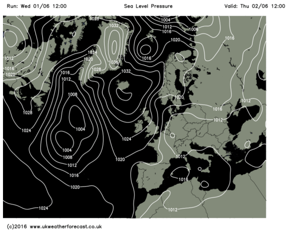
Low pressure has been hanging around all week
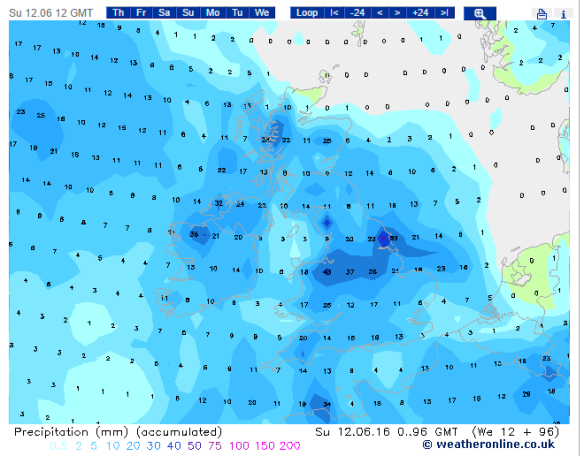
All this week low pressure has been sitting on top of the U.K. bringing showers and mainly cloudy conditions. This continues on Thursday. Some of the showers will be heavy but not everyone will catch one. Still feeling a little muggy. Max 18°C.

A showery set up at the back end of this week
Friday sees little improvement. Further showery rain and not much in the way of sunshine but it should become drier into the evening. Cooler as winds slip northerly. Max 15°C.
Over the weekend things improve slowly as the low pressure slips away.
It will be a better day on Saturday with some bright spells with slightly cooler & fresher air. There still could be a rogue shower or two especially during the first half of the day but better than we’ve been used to. A drier evening. Max 16°C.
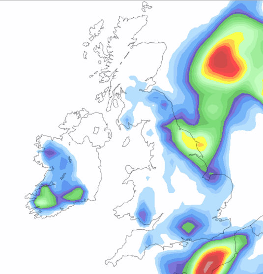
A dry day looks on the cards for Sunday. A lot of cloud about which hopefully will break at times for some pleasant sunshine and a little milder than the last two days. Max 18°C.
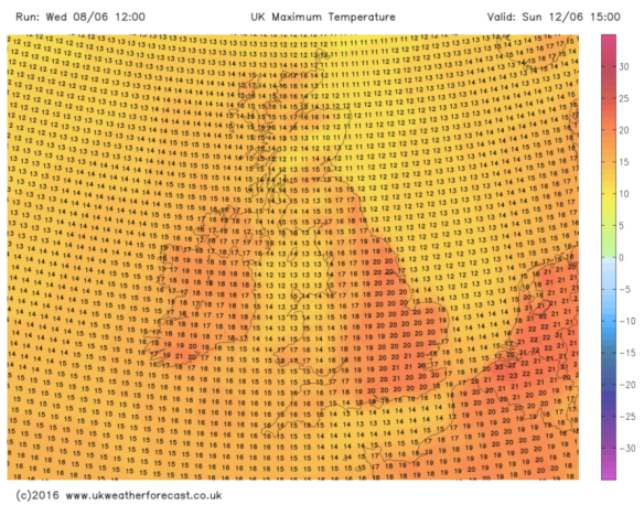
For next week, it looks like the weather pattern settles down a bit, <just>; so plenty of dry weather with some warm bright spells. We must note we are at a slight risk of some showers from the west at times but I am confident at this stage that it will be a reasonable week. Temperatures could slowly rise if we pick up a warmer southeasterly flow later in the week.
Follow @ChadWeather on Twitter to catch all the latest weather updates for Manchester and its surrounding boroughs.
Photos/Data: www.netweather.tv and http://www.metoffice.gov.uk
Forecast issued at 14:05 on Wednesday the 15th of June 2016.
Thanks for reading.
Jon