Hi all,
I hope you’re making the most of the ‘unusual’ Summer weather that we are having. Normally we manage a decent week in May, then September, but we are experiencing a heatwave that’s set to continue. That said, we are now needing rain more than ever. Something I never thought I would say and I can’t see any on the horizon.
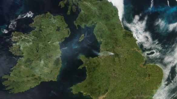
In May we only had 56% of the average rainfall. In June only 19%. The lack of rain combined with the heat and low humidity contributed towards the Saddleworth Moor and Winter Hill wildfires.
Thursday: Perhaps cloudy to start in some areas but this will thin to bring another very warm day with sunny spells. Max 24°C
Friday: Sunny spells and very warm. Lighter winds as a new area of high pressure builds across the UK. Max 23°C
Weekend: Becoming hotter.
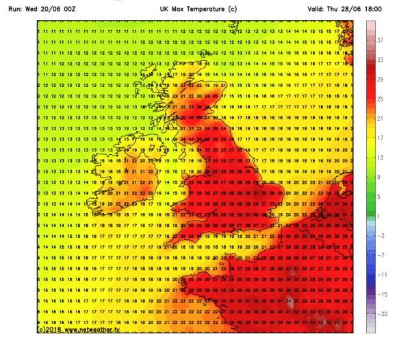
Weekend temperatures back up close to 30°C
Saturday: Hot with plenty of sunshine. Warm and muggy overnight. Max 28°C
Sunday: More summer sunshine and hot. Light winds throughout the weekend will not offer any relief and somewhere might see 30°C. Max 29°C
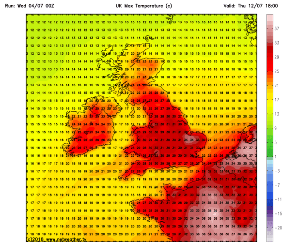
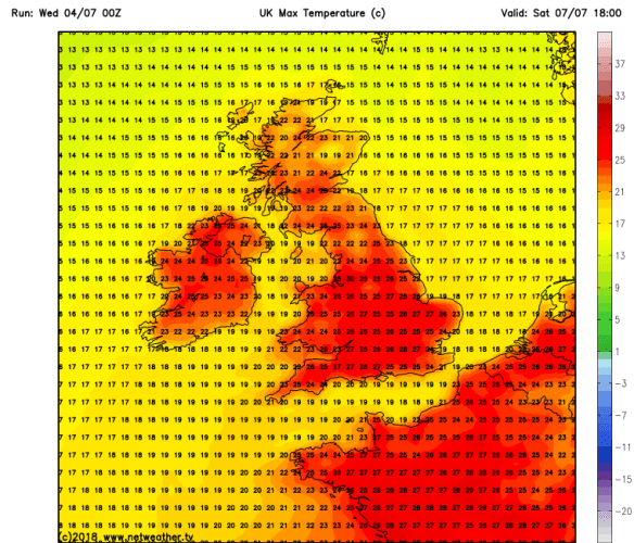
Remaining hot next week: Thursday could see temps close to 35°C in parts of the UK
Outlook: No change looking at Monday (9th) to Thursday (12th), hot with plenty of sunshine and temperatures could exceed 30°C as well as it feeling huimd. No rain expected during this period. Perhaps a little less hot by Friday.
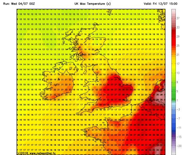
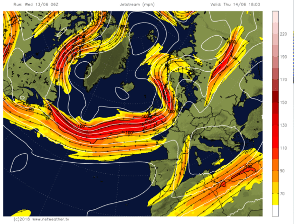
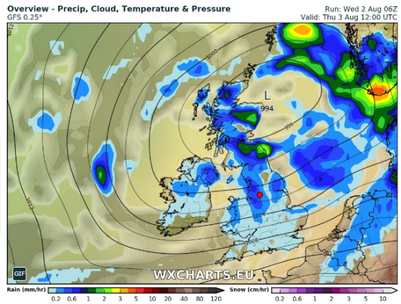
But do we finally see some cooler air arriving during Friday (13th) – one to watch
UV levels HIGH at 7-8 during the whole of the forecast period so don’t forget sun-cream.
Follow @ChadWeather on Twitter for updates.
June 2018 Stats
Max 28.1°C (26th)
Min 7.8°C (24th)
Av. 15.7°C
Wettest 5.2mm (16th)
Windiest 43mph
Rain 14.8mm
Rainy Days 10
Dry Days 20
Av. Max Temp should be 17.8°C we achieved 20.2°C.
Thanks,
Jon
Forecast Issued on Wednesday the 4th of July at 10:30am
Images: https://www.netweather.tv