Thursday 14th January 2016 – Sunday 17th January 2016

Hi all,

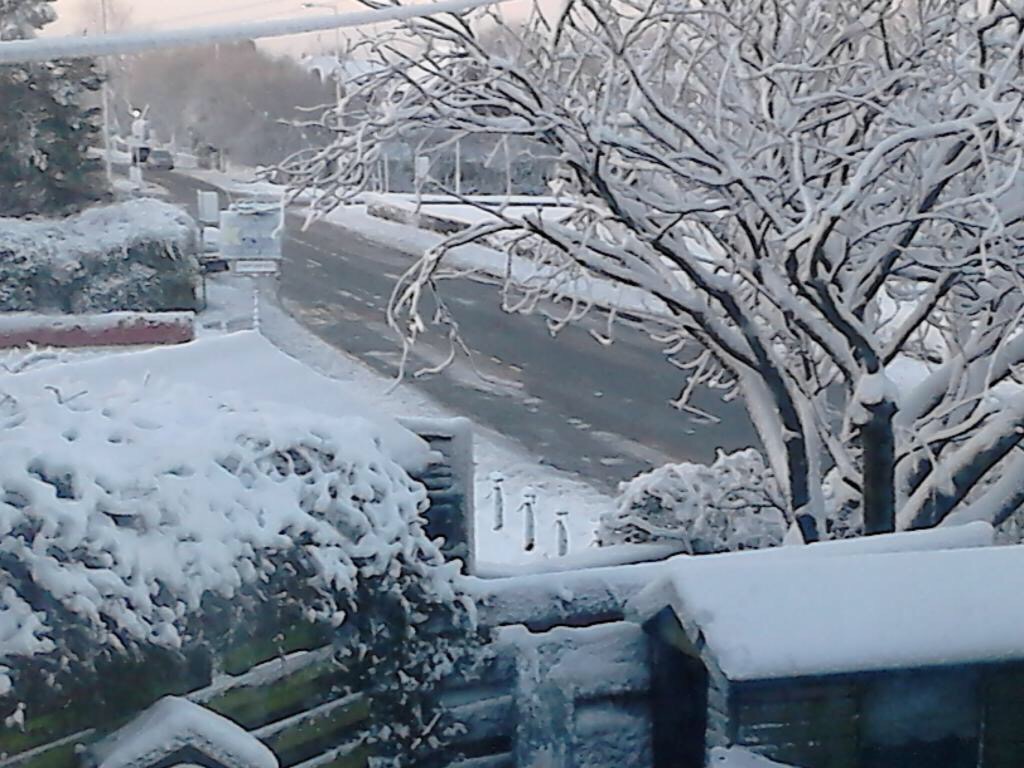
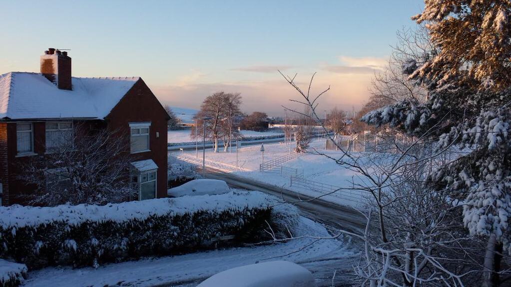
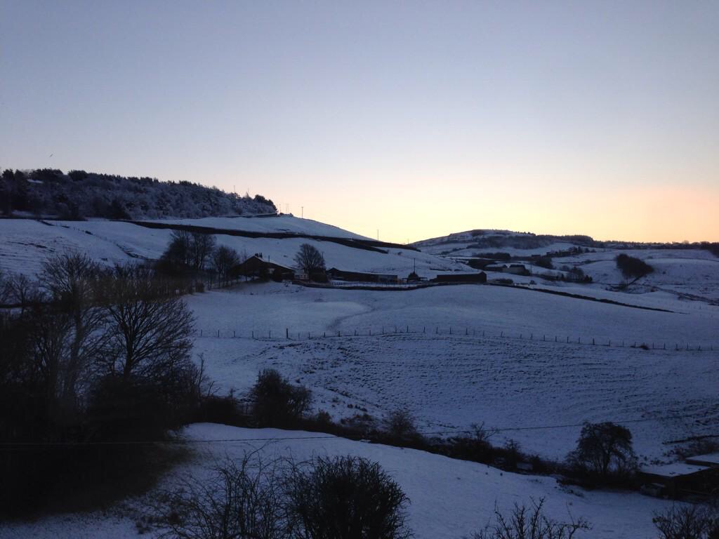
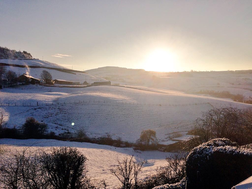
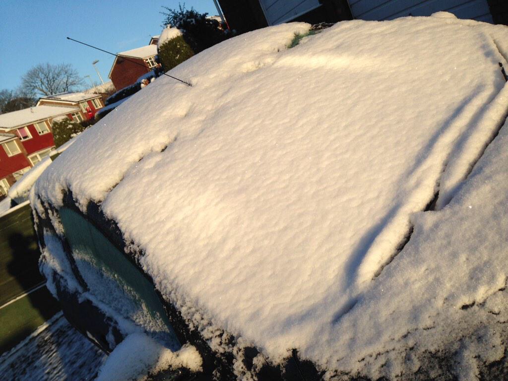
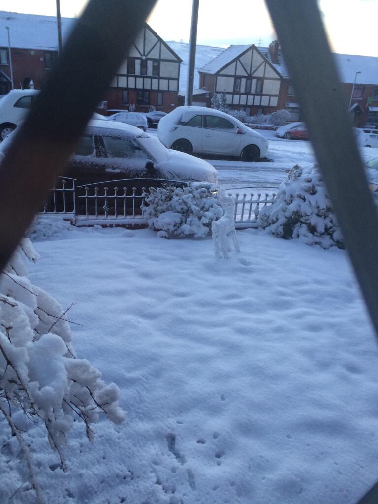
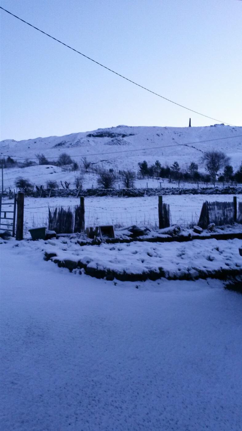
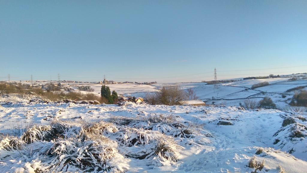
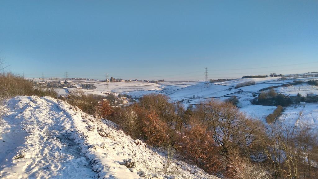
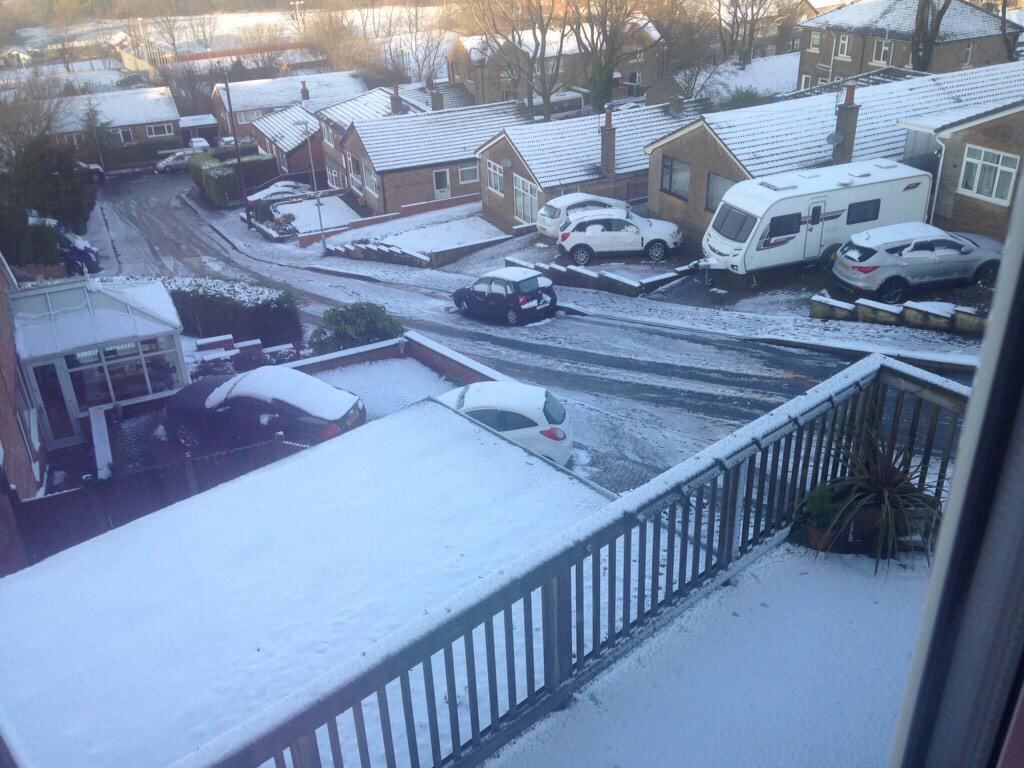
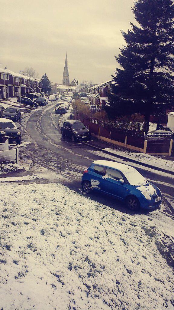
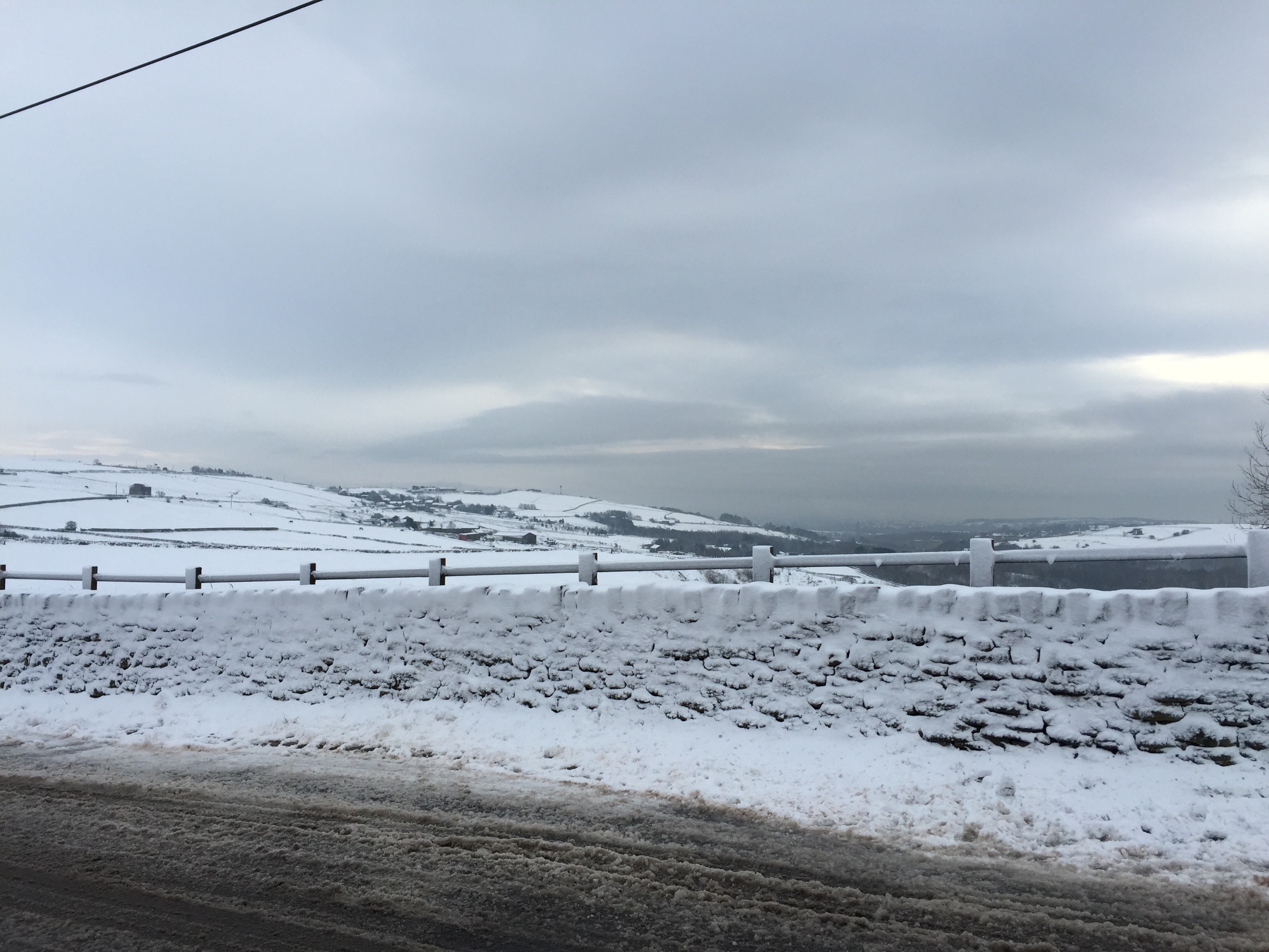
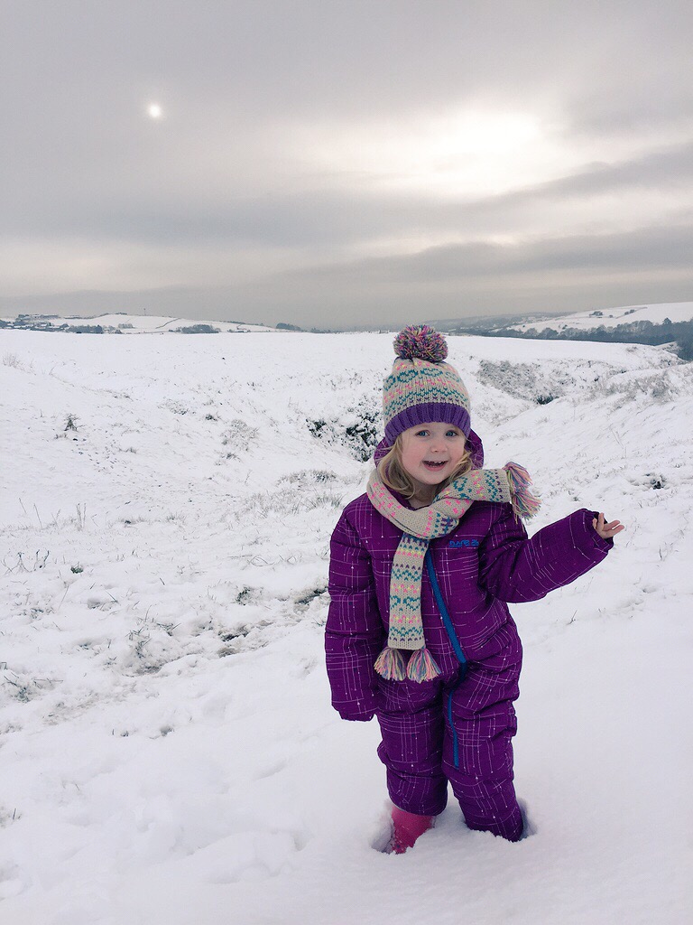
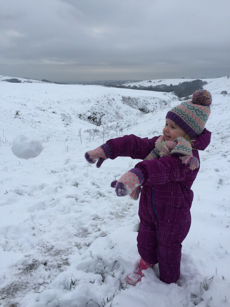
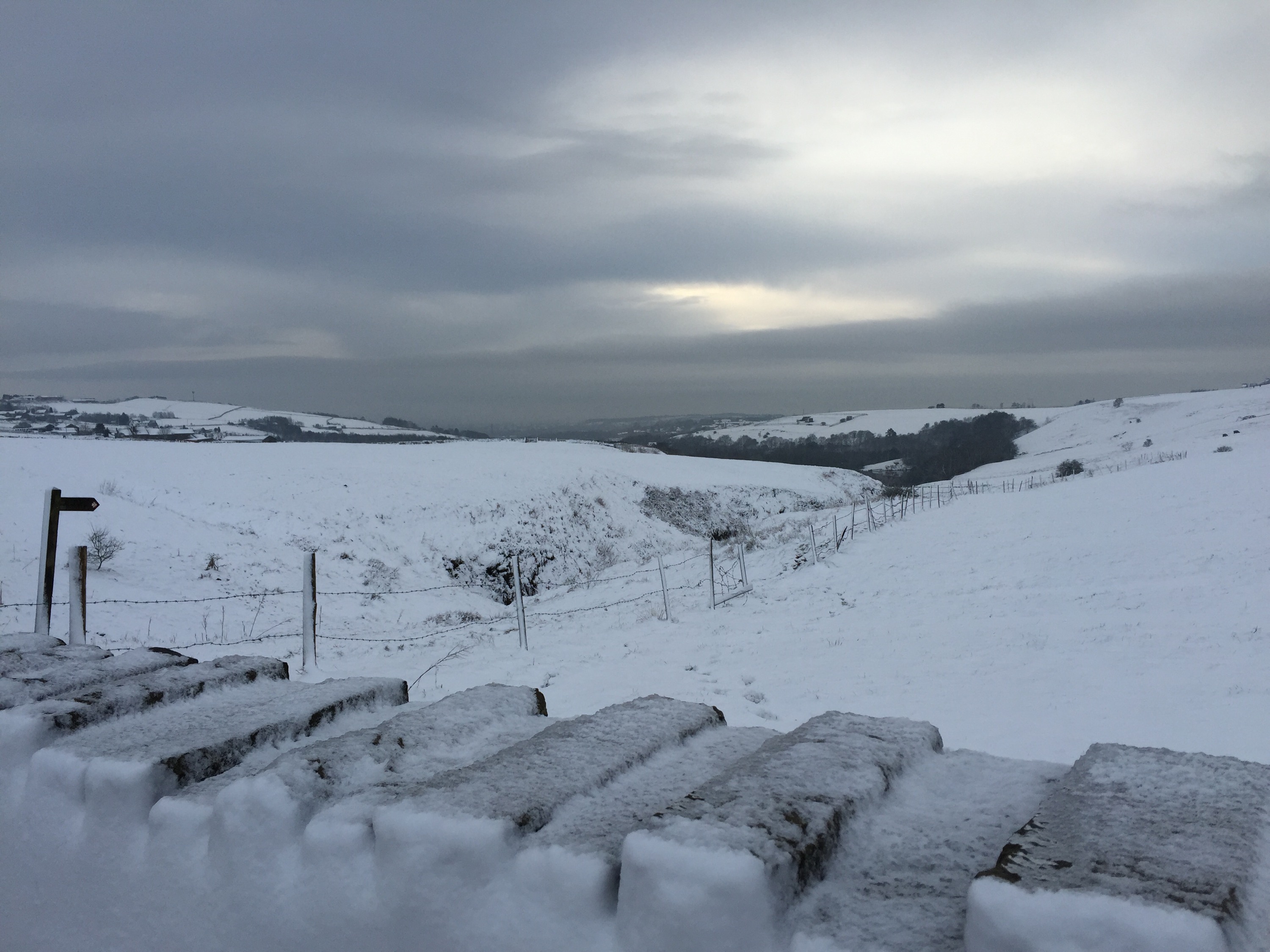
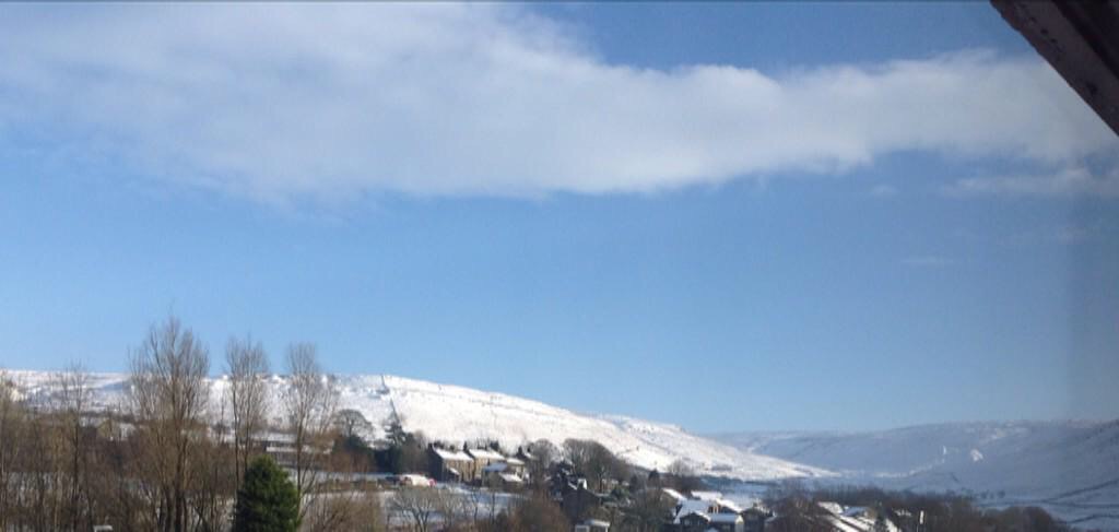
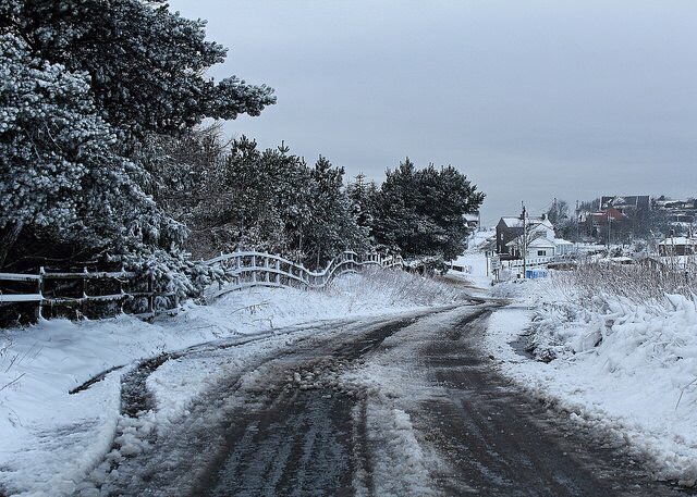
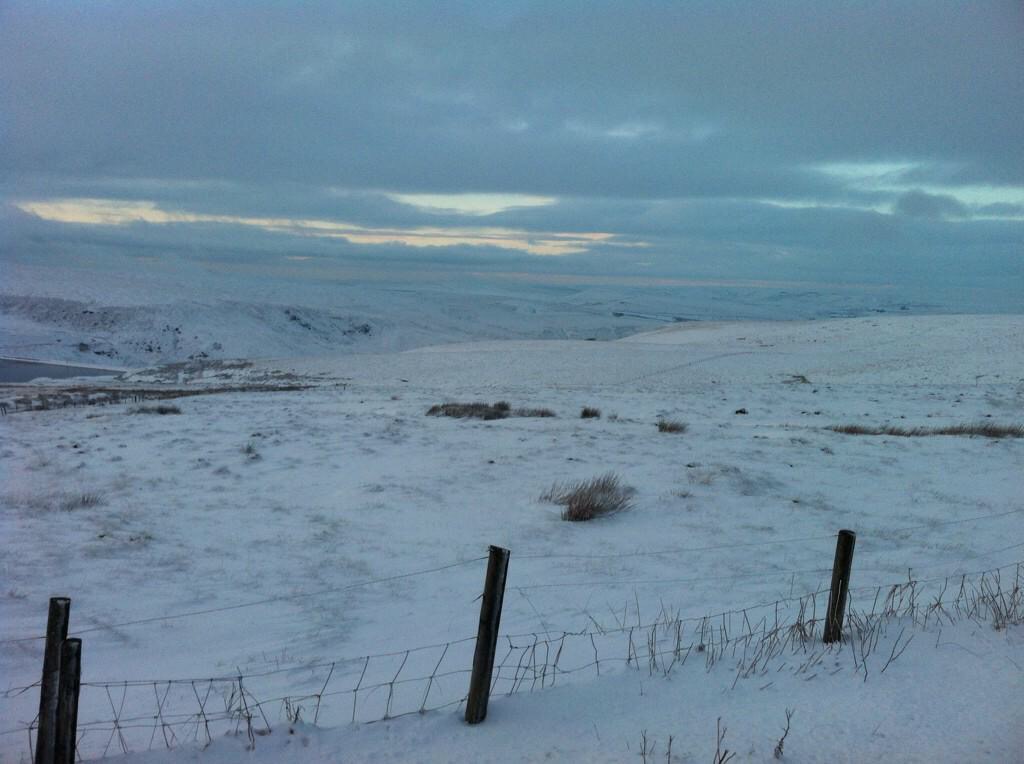
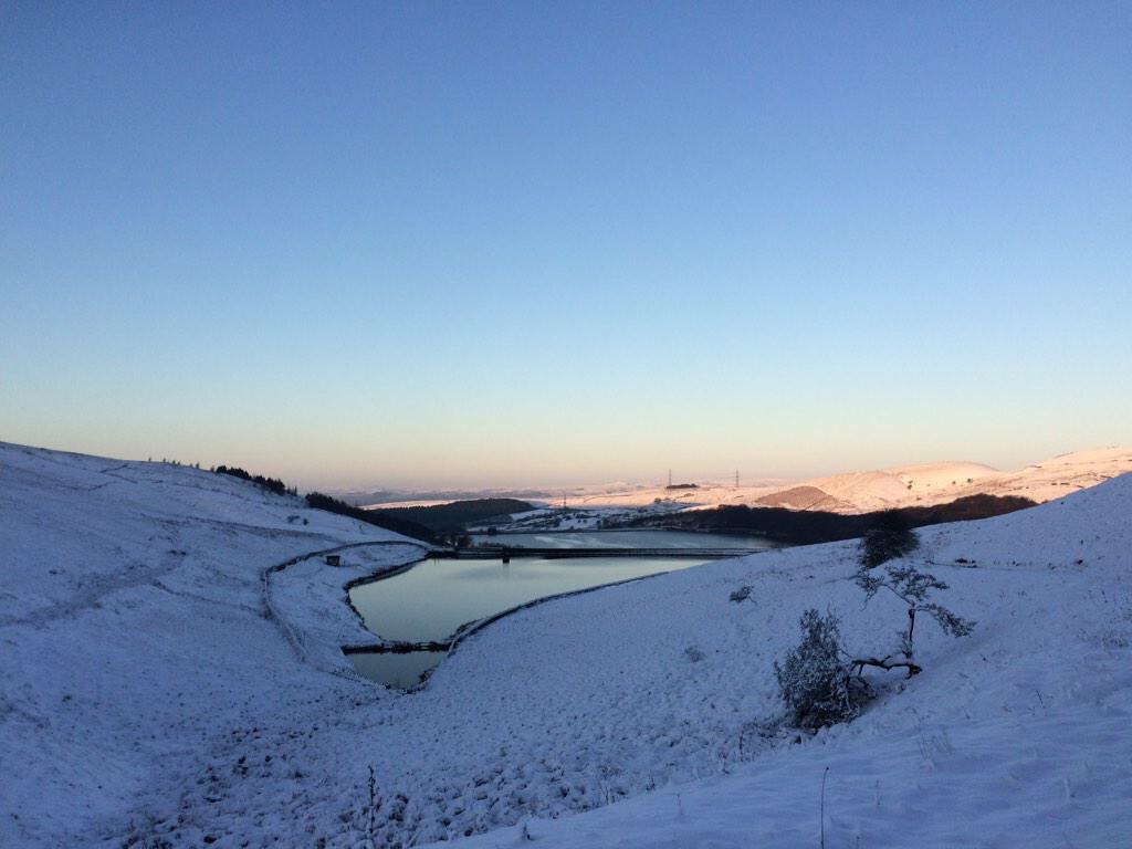
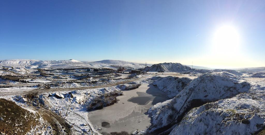
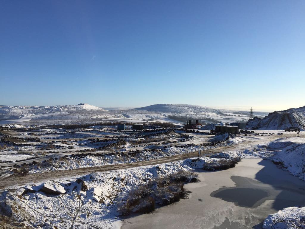
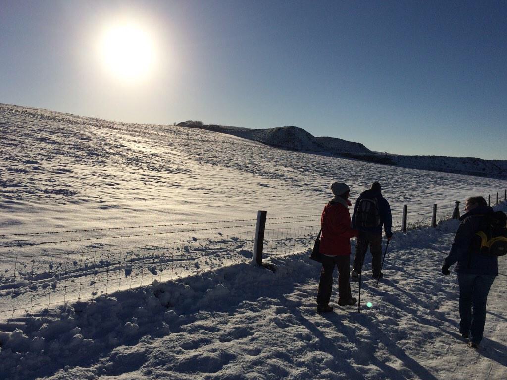
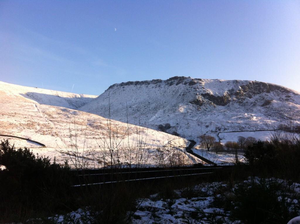
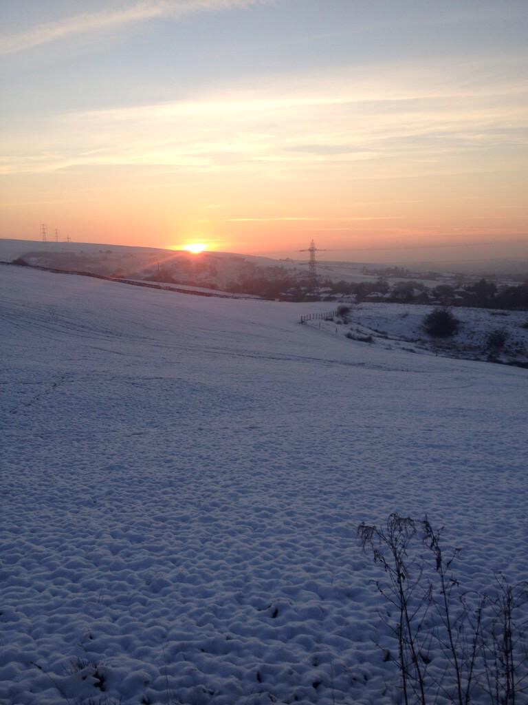
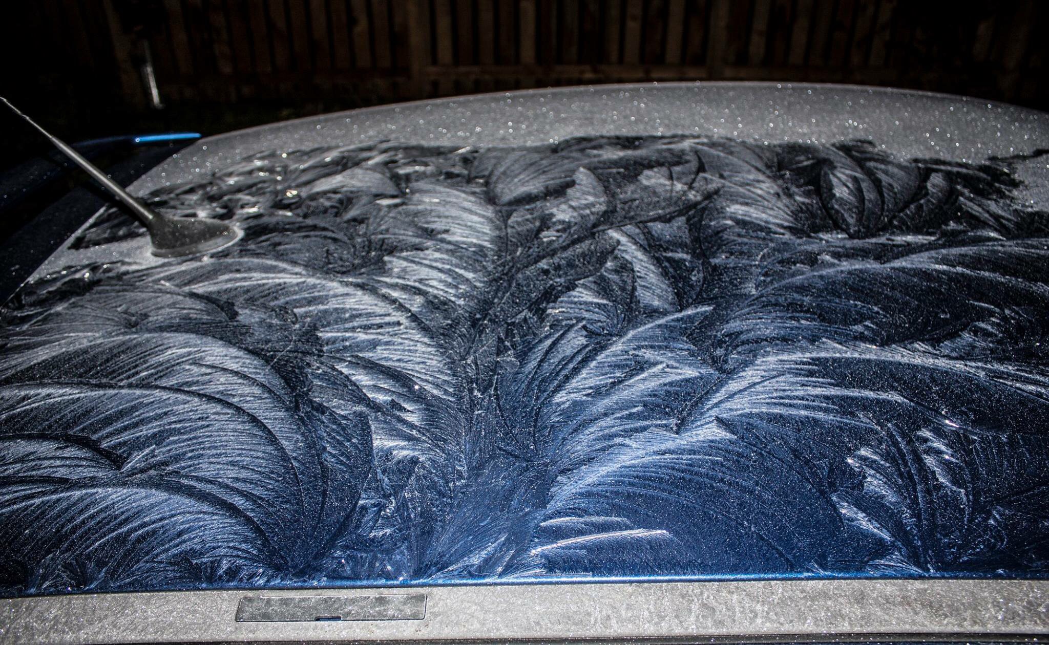
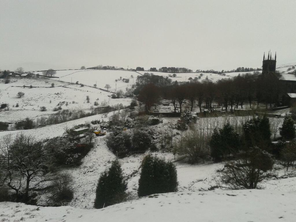
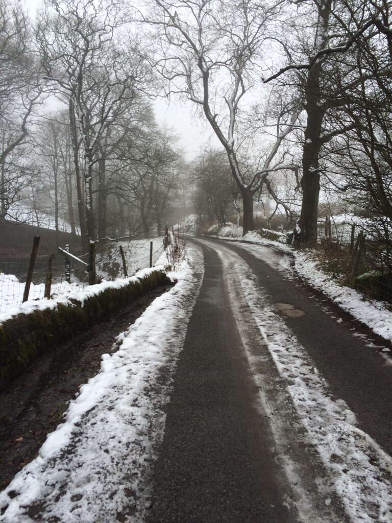
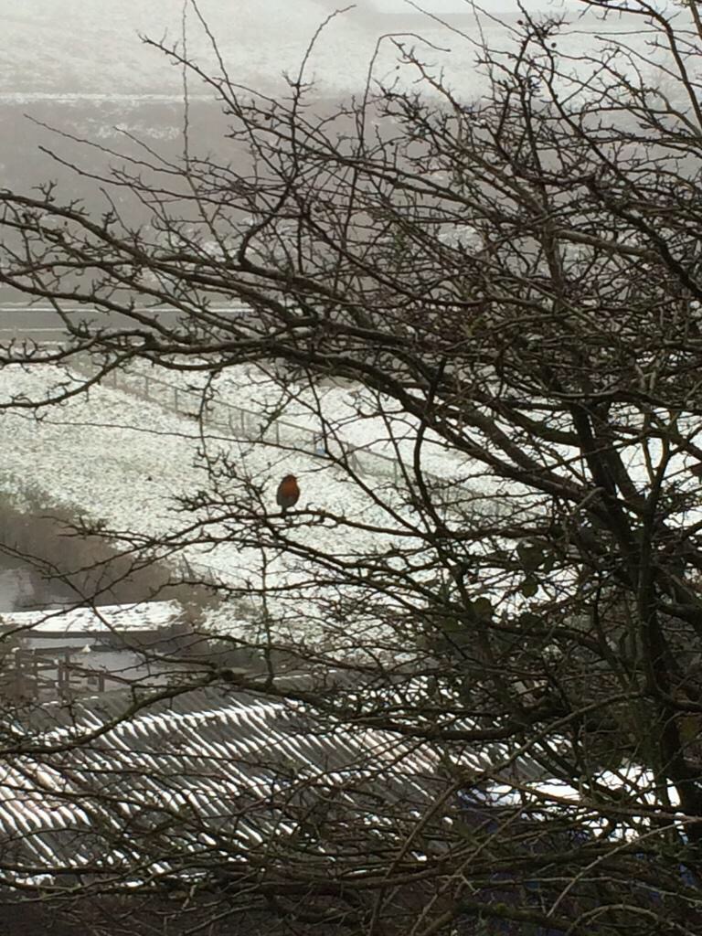
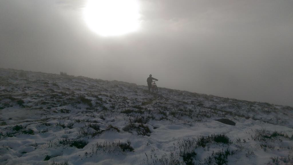
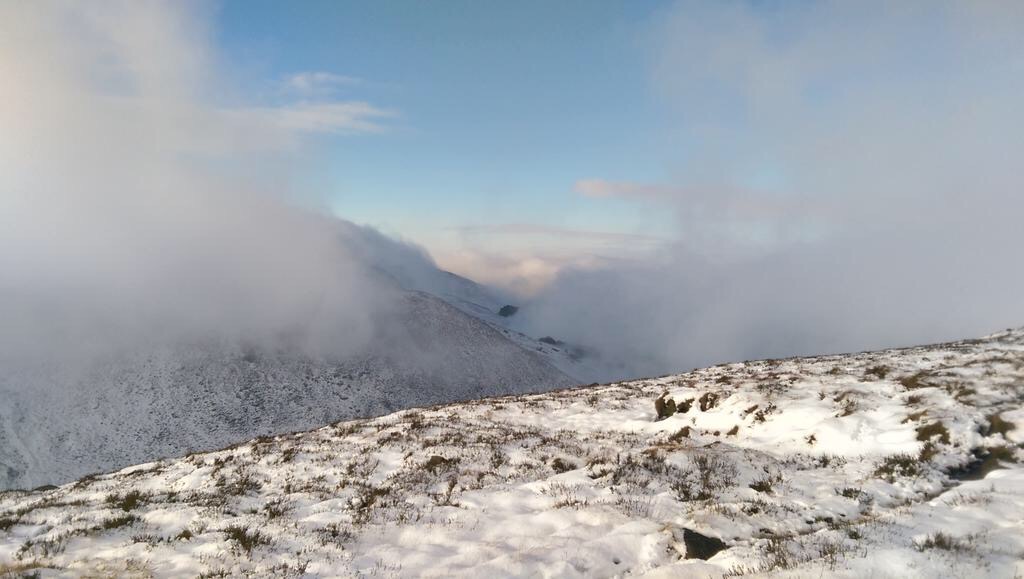
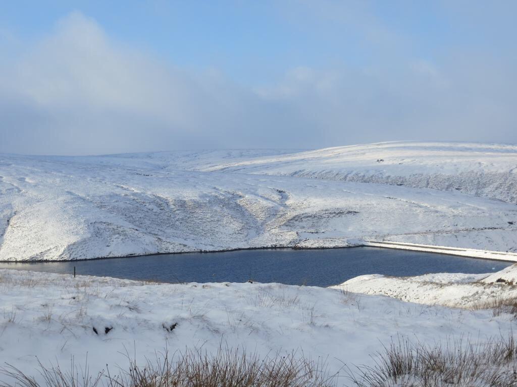
So at last, it feels like winter; well January at least. To me it’s not winter until we see some snow and hard frosts. So, snow, where is it, and can we expect some? A tough question to answer as we hover close to “cold-enough-to-snow-temperatures”. It has turned colder this week and some of the tops have seen a covering of snow, albeit slushy and temporary but most of our showers have continued as rain.

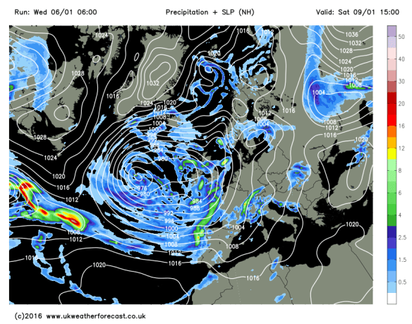
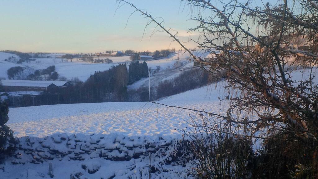
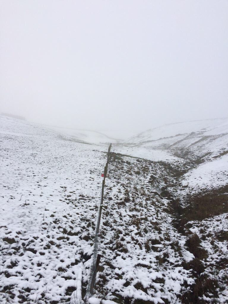
As promised the Jet Stream slipped south allowing colder air to feed in from the north. This will remain the case for another 5-7 days. It turns colder at the back end of this week, so the chances of seeing some snow increases and the areas it could fall in, may include lower areas, rather than just the locations above 300M.

Wednesday night sees showery rain come in from the west and as this bumps into the cold air we could see some snow especially above 300M. Therefore, Thursday will start with some rain, sleet and snow. As this moves away colder air digs in and any rain could turn to snow for a time before brighter skies and the odd wintry shower feed in. Risk of snow showers overnight, even to lower levels. Max 4°C.

Thu am snow risk

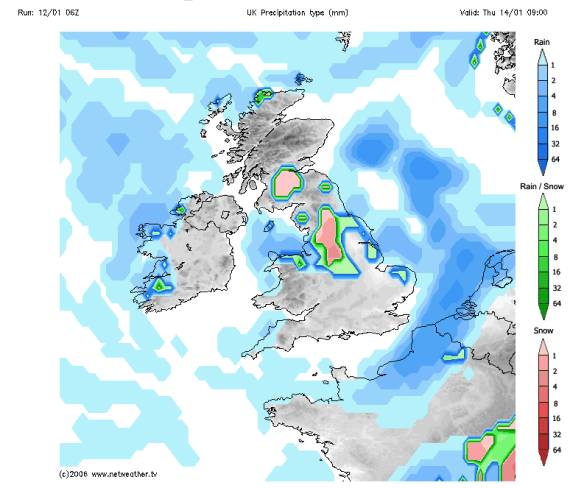
Snow risk Wednesday night into Thursday

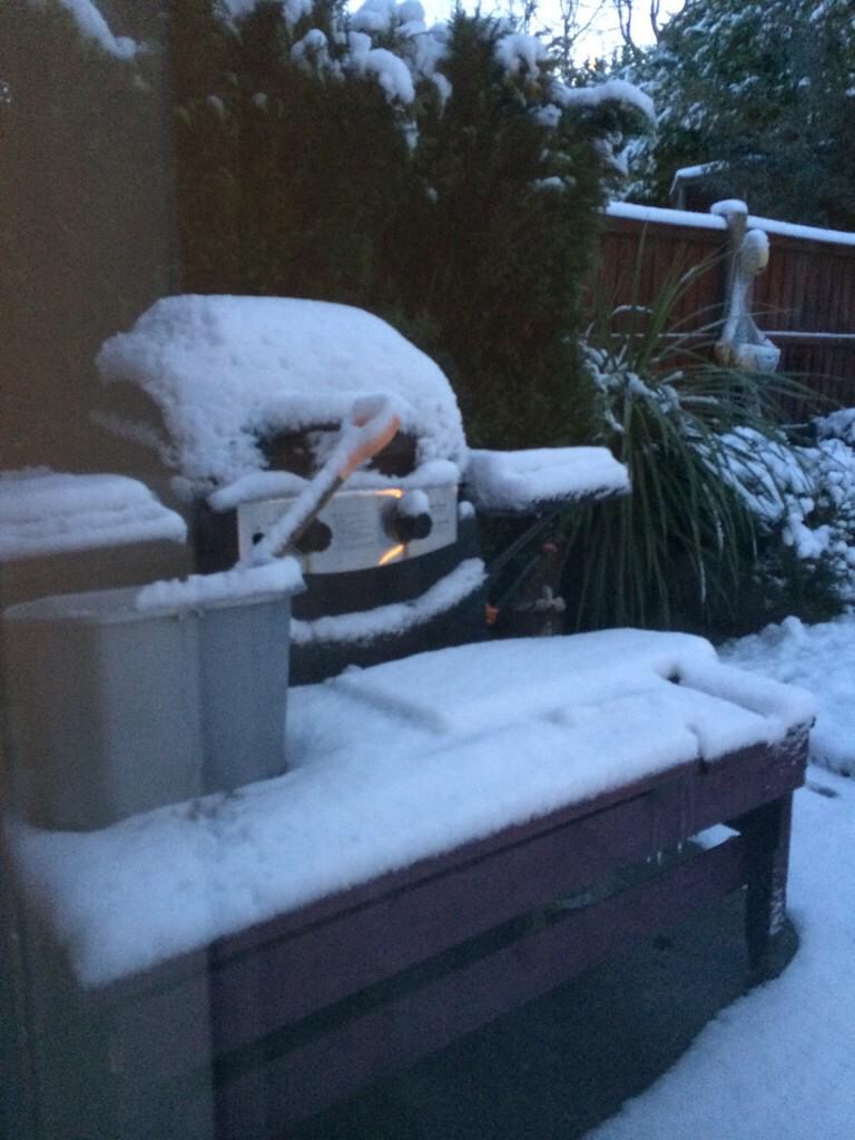
Friday will be a day of wintry showers and bright spells. Some of these showers will be of hail and snow. Again most of any snow will be for higher ground but not exclusively. Feeling raw in a bitter wind. In fact, Thursday and Friday will have a sub-zero wind-chill. Frosty and icy night ahead as showers fade. Max 4°C.

thu and fri windchill

Bitter on Thursday and Friday with a sub-zero wind-chill

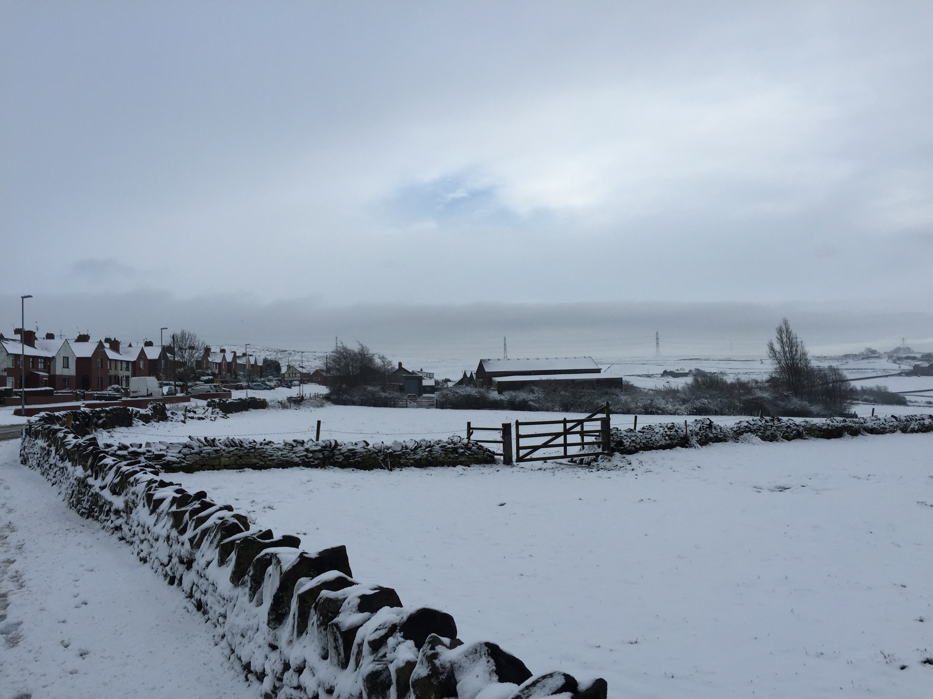
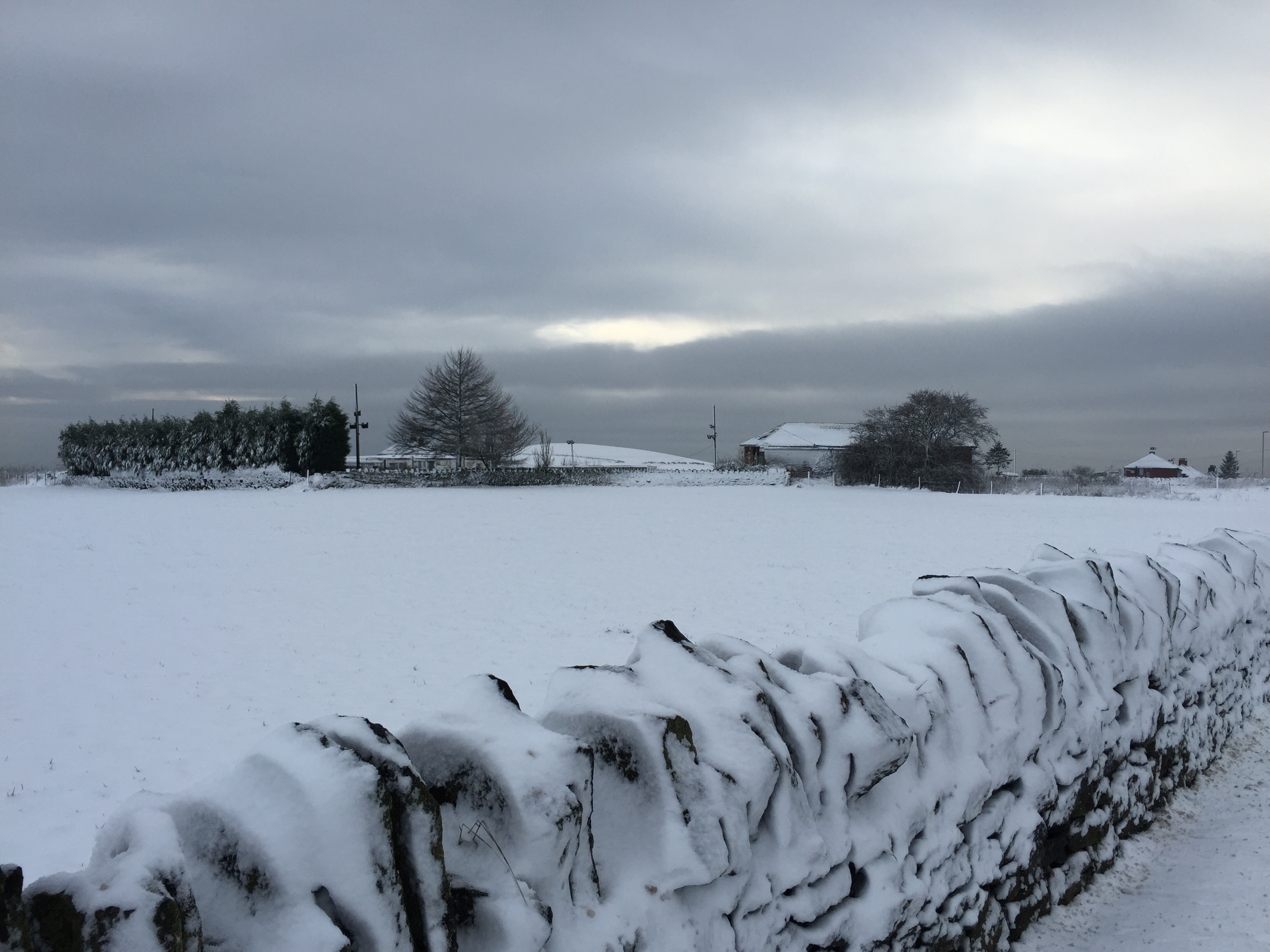
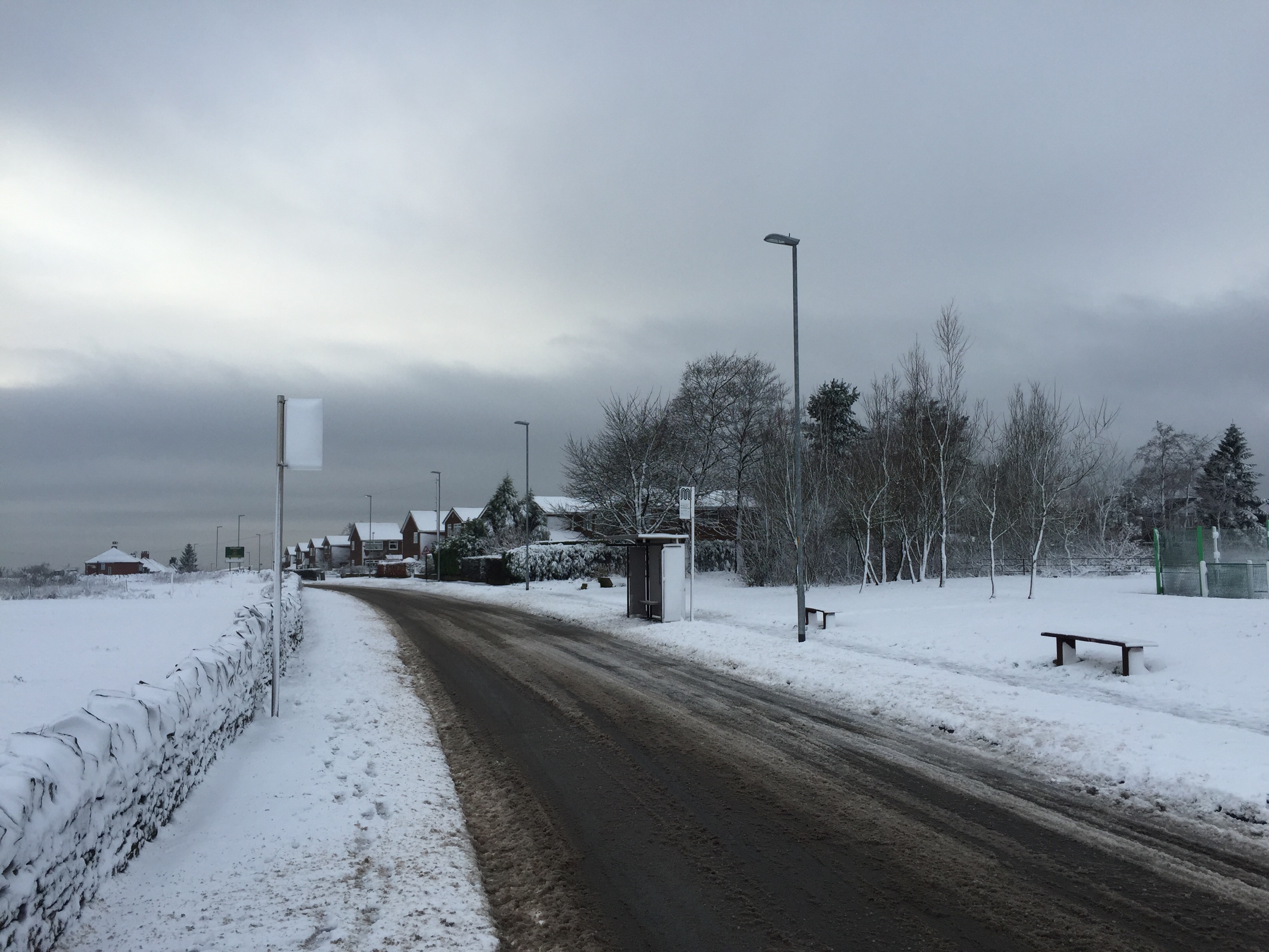
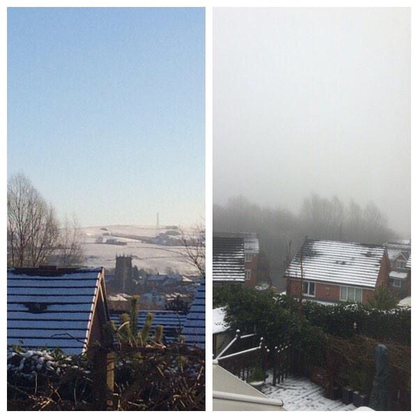
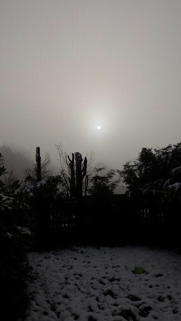
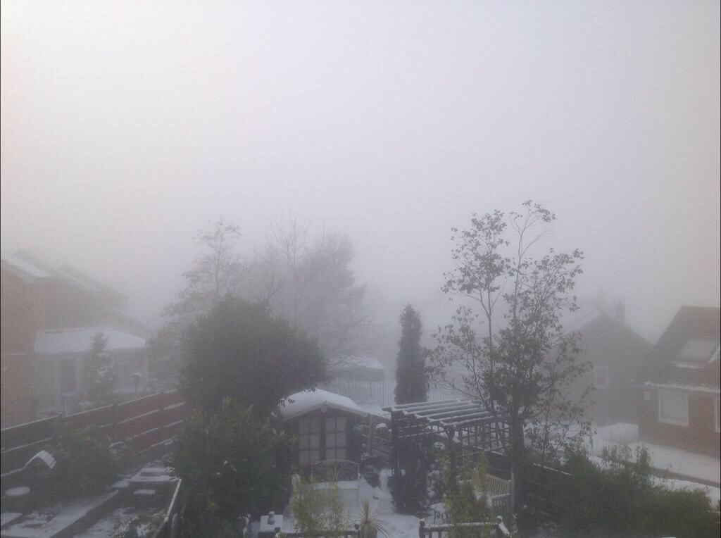
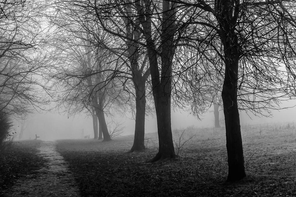
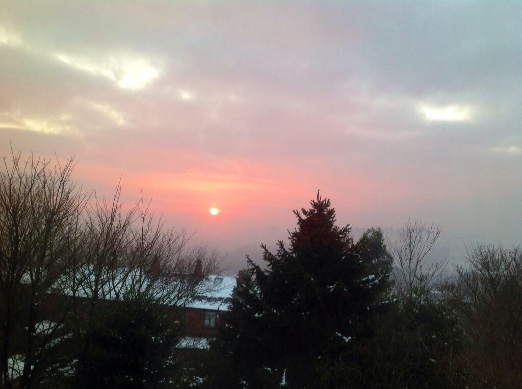
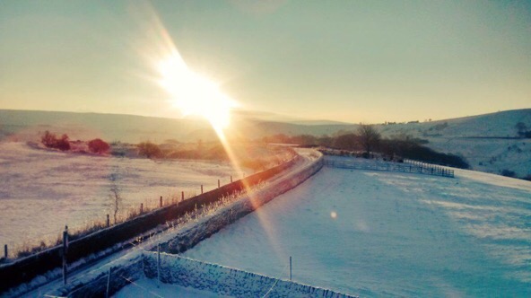
The weekend promises to be a largely dry affair as high pressure builds over the UK. This means plenty of sunshine but very cold nights with a risk of fog and widespread sharp frosts.

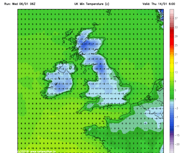
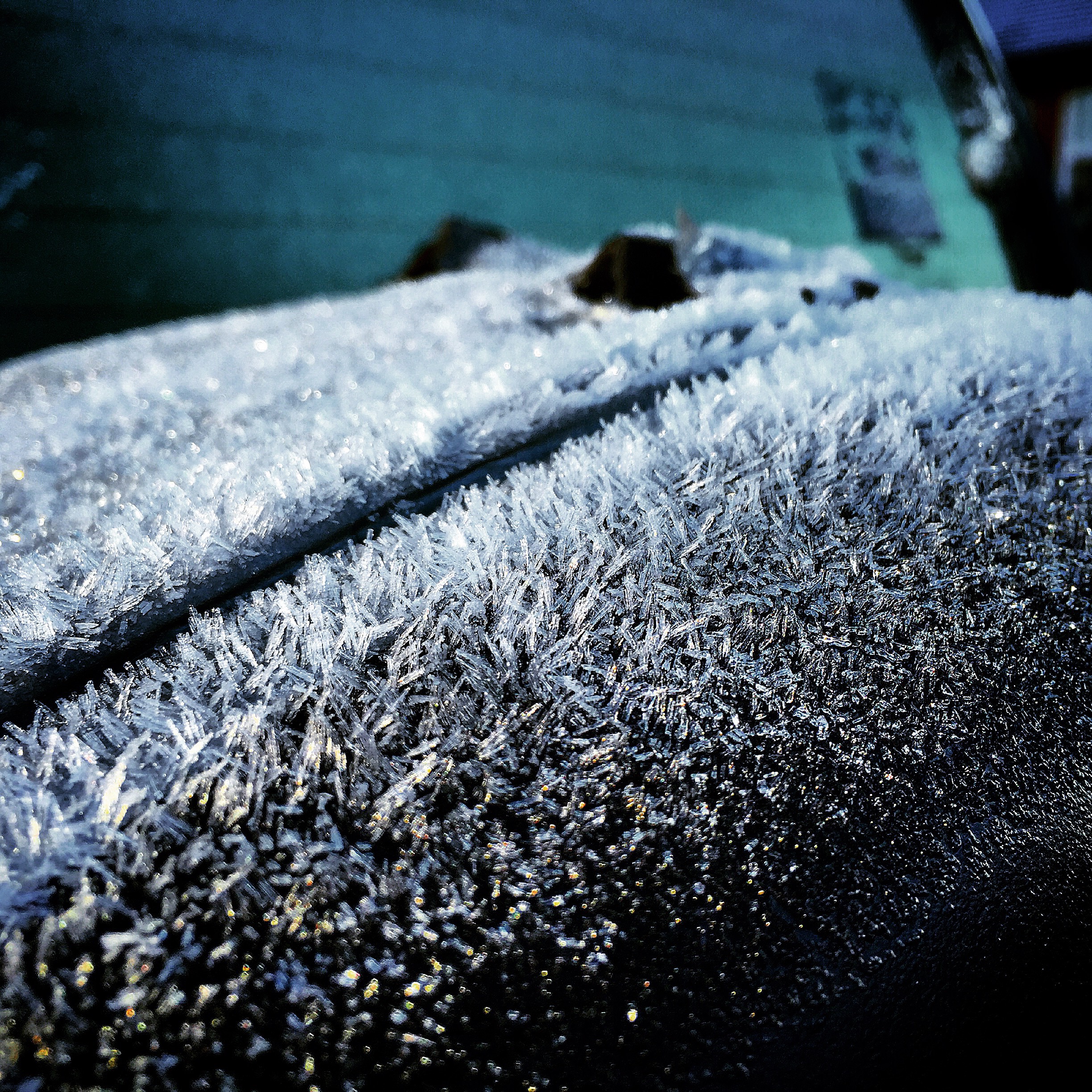
Saturday and Sunday look very similar. Cold frosty mornings and nights with sunny spells during the day. There could be some freezing fog slow to clear and where it lingers on, the daytime maximum temperature will not rise above zero. Staying cold throughout with night-time temperatures even as low as -8°C especially in rural spots. Daytime Maxes 3°C.

frosts

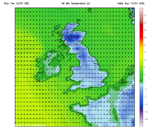
Sharp frosts this weekend


high pressure weekend

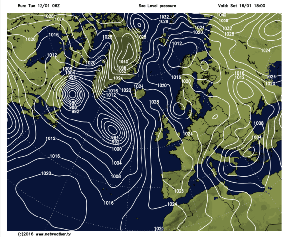
High pressure over the weekend

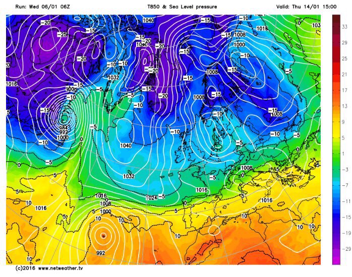
Looking ahead and it will remain cold to start next week but it then looks likely that milder air will return from the southwest bringing rain which might be preceded by snow for a time.

milder airflow to return

Milder air looks likely to return from midweek next week


milder temps

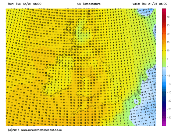
Perhaps temperatures will return to double-figures?


It is tricky to pinpoint snowfalls, especially when temperatures are 50/50 for snow to occur. My advice would be to keep a watch on my tweets this week for the very latest on the snow-risk.

Follow @ChadWeather on Twitter to catch all the latest weather updates for Manchester and its surrounding boroughs.

Photos/Data: http://www.ukweatherforecast.co.uk and http://www.netweather.tv

Thanks for reading,

Jon

Forecast issued at 14:00 on Tuesday 12th January 2016

Thursday 7th January 2016 – Sunday 10th January 2016

Hi all,

Happy New Year and all the best for 2016! Hopefully an interesting weather year ahead. I’m only asking for heavy snow, storms and a heatwave; shouldn’t be a problem!

After recent flooding across different parts of the UK, the weather pattern is going to change. As mentioned in the last blog, the majority of the Jet Stream is shifting south. This will allow colder air to filter down from the north and northwest. This will be more noticable into next week.

Jet Stream

Wed 13th Jan – Predicted position of the Jet Stream

You probably heard heavy rain overnight on Wednesday and this will be slow to clear on Thursday. After a wet morning it will gradually turn drier and a much better afternoon lies ahead with sunny spells. Breezy with a chance of isolated showers later. Max 7°C.

Still unsettled into Friday. Any dry start will be replaced by a band of showery rain moving from west to east. Drier into the evening and with clear spells overnight, a slight frost and some ice to watch out for. A cold day. Max 6°C.

low pressure

Low pressure in charge of the weekend’s weather

Saturday starts chilly and mainly dry. Cloud will soon thicken from the southwest with rain expected to spread across all parts leading to a wet day. Becoming breezy and feeling cold. Max 6°C.

Turning a little colder as we go through Sunday. Some rain around which might be a bit sleety over the hills. Drier later. A cold night ahead with a touch of frost possible. Max 5°C.

Looking ahead into next week and it’s looking more like it, for the cold-lovers out there, especially from midweek. Overnight frosts widespread and although it will be much drier than recent weeks we could start to see some wintry showers, so hail, sleet and some snow could be on the cards.

frosts

Widespread frosts into next week

Northerly airflow brings cold air down across the UK.

December 2015 Stats

Av. Temp 8.9°C 
Max Temp 14.4°C (19th)
Min Temp 0.8°C (13th)
Wettest Day 43mm (26th)
Highest Gust 46mph (5th)
Rainfall 197.8mm
Rainy Days 29 

Follow @ChadWeather on Twitter to catch all the latest weather updates for Manchester and its surrounding boroughs.

Thanks for reading,

Jon

Thursday 22nd October 2015 – Sunday 25th October 2015

Hi all,

Well would you believe it. The newspapers, sorry trash-mags, are at it again. “It’s going to snow next week”; “It’s going to be the coldest, snowiest winter for 50 years” and of course what we all want “A White Christmas”. What a load of nonsense, putting it politely. It’s nothing but guesswork and in a word ‘lies’ in order to sell papers and get everyone talking. In truth, no-one knows what this coming Winter will be like and yes I personally would love a White Christmas and several feet of snow; but all I can do is hope. There are no facts and proof that all the media stories hold any truth.

So, no snow on the horizon just yet 🙂 but what can we expect the coming 4 days and into next week.

A cloudy start to Thursday with some local drizzle or light rain around. Generally a drier picture after that with sunny spells. Feeling cooler than Wednesday with the odd afternoon shower possible. Breezy. Max 13°C.

Friday will be quite similar. A little ridge of high pressure settles things down, so bright spells and mainly dry. Just a very low risk of an isolated shower. Light winds. Max 13°C.

The weekend will not start well as a band of rain spreads in from the north-west on Saturday with some heavy bursts and gusty winds. This will sink south and leave some drizzle behind it for a few hours. Eventually drying up into the late-afternoon or evening. Gusty south-westerly winds for a time then switching back north-westerly and easing slightly. Not much difference in temperatures to previous days but it will turn cooler later on. Max 13°C.

A colder feel to Sunday with bright spells and some scattered showers. A chilly breeze across the region but looking a better day than Saturday. Temperatures down a notch. Max 11°C.

Looking ahead into next week the Atlantic is pretty much back in charge bringing spells of wet and windy weather but with sunny spells and drier interludes either side of low pressure systems.

To keep up to date with your local weather, follow @ChadWeather on Twitter.

Thanks for reading.
Jon

Snowy and wintry scenes – 26th-29th December 2014

Rain on the evening of Boxing Day 2014 gradually turned to snow as a low pressure moves south-eastwards and colder air dug in from the north. Most places saw snow but it was all about your height above sea level whether it managed to stick or not. Here in Chadderton we had a slight covering on the cars and grass but you had to go up to the east of Oldham, to the likes of Moorside to see some decent snow. In these hillier areas up to 4 inches of snow fell over a 6-hour period. After the snow came the frost then some freezing fog. Here are a selection of the photos that I had tweeted to me. Thanks to everyone for their stunning photos. I hope you don’t mind me using them. Any issues using them please let me know.

/home/wpcom/public_html/wp-content/blogs.dir/5a5/52181690/files/2014/12/img_5069.jpg

/home/wpcom/public_html/wp-content/blogs.dir/5a5/52181690/files/2014/12/img_5068.jpg

/home/wpcom/public_html/wp-content/blogs.dir/5a5/52181690/files/2014/12/img_5070.jpg

/home/wpcom/public_html/wp-content/blogs.dir/5a5/52181690/files/2014/12/img_5071.jpg

/home/wpcom/public_html/wp-content/blogs.dir/5a5/52181690/files/2014/12/img_5074.jpg

/home/wpcom/public_html/wp-content/blogs.dir/5a5/52181690/files/2014/12/img_5075.jpg

/home/wpcom/public_html/wp-content/blogs.dir/5a5/52181690/files/2014/12/img_5076.jpg

/home/wpcom/public_html/wp-content/blogs.dir/5a5/52181690/files/2014/12/img_5077.jpg

/home/wpcom/public_html/wp-content/blogs.dir/5a5/52181690/files/2014/12/img_5078.jpg

/home/wpcom/public_html/wp-content/blogs.dir/5a5/52181690/files/2014/12/img_5081.jpg

/home/wpcom/public_html/wp-content/blogs.dir/5a5/52181690/files/2014/12/img_5079.jpg

/home/wpcom/public_html/wp-content/blogs.dir/5a5/52181690/files/2014/12/img_5080.jpg

/home/wpcom/public_html/wp-content/blogs.dir/5a5/52181690/files/2014/12/img_5085.jpg

/home/wpcom/public_html/wp-content/blogs.dir/5a5/52181690/files/2014/12/img_5084.jpg

/home/wpcom/public_html/wp-content/blogs.dir/5a5/52181690/files/2014/12/img_5086.jpg

/home/wpcom/public_html/wp-content/blogs.dir/5a5/52181690/files/2014/12/img_5087.jpg

/home/wpcom/public_html/wp-content/blogs.dir/5a5/52181690/files/2014/12/img_5090.jpg

/home/wpcom/public_html/wp-content/blogs.dir/5a5/52181690/files/2014/12/img_5091.jpg

/home/wpcom/public_html/wp-content/blogs.dir/5a5/52181690/files/2014/12/img_5109.jpg

/home/wpcom/public_html/wp-content/blogs.dir/5a5/52181690/files/2014/12/img_5110.jpg

/home/wpcom/public_html/wp-content/blogs.dir/5a5/52181690/files/2014/12/img_5111.jpg

/home/wpcom/public_html/wp-content/blogs.dir/5a5/52181690/files/2014/12/img_5112.jpg

/home/wpcom/public_html/wp-content/blogs.dir/5a5/52181690/files/2014/12/img_5113.jpg

/home/wpcom/public_html/wp-content/blogs.dir/5a5/52181690/files/2014/12/img_5131.jpg

/home/wpcom/public_html/wp-content/blogs.dir/5a5/52181690/files/2014/12/img_5114.jpg

/home/wpcom/public_html/wp-content/blogs.dir/5a5/52181690/files/2014/12/img_5133.jpg

/home/wpcom/public_html/wp-content/blogs.dir/5a5/52181690/files/2014/12/img_5267.jpg

/home/wpcom/public_html/wp-content/blogs.dir/5a5/52181690/files/2014/12/img_5122.jpg

/home/wpcom/public_html/wp-content/blogs.dir/5a5/52181690/files/2014/12/img_5272.jpg

/home/wpcom/public_html/wp-content/blogs.dir/5a5/52181690/files/2014/12/img_5273.jpg

/home/wpcom/public_html/wp-content/blogs.dir/5a5/52181690/files/2014/12/img_5274.jpg

/home/wpcom/public_html/wp-content/blogs.dir/5a5/52181690/files/2014/12/img_5275.jpg

/home/wpcom/public_html/wp-content/blogs.dir/5a5/52181690/files/2014/12/img_5277.jpg

/home/wpcom/public_html/wp-content/blogs.dir/5a5/52181690/files/2014/12/img_5276.jpg

/home/wpcom/public_html/wp-content/blogs.dir/5a5/52181690/files/2014/12/img_5299.jpg

/home/wpcom/public_html/wp-content/blogs.dir/5a5/52181690/files/2014/12/img_5301.jpg

/home/wpcom/public_html/wp-content/blogs.dir/5a5/52181690/files/2014/12/img_5302.jpg

/home/wpcom/public_html/wp-content/blogs.dir/5a5/52181690/files/2014/12/img_5300.jpg

/home/wpcom/public_html/wp-content/blogs.dir/5a5/52181690/files/2014/12/img_5304.jpg

/home/wpcom/public_html/wp-content/blogs.dir/5a5/52181690/files/2014/12/img_5315.jpg

/home/wpcom/public_html/wp-content/blogs.dir/5a5/52181690/files/2014/12/img_5316.jpg

/home/wpcom/public_html/wp-content/blogs.dir/5a5/52181690/files/2014/12/img_5309.jpg

/home/wpcom/public_html/wp-content/blogs.dir/5a5/52181690/files/2014/12/img_5330.jpg

/home/wpcom/public_html/wp-content/blogs.dir/5a5/52181690/files/2014/12/img_5310.jpg

/home/wpcom/public_html/wp-content/blogs.dir/5a5/52181690/files/2014/12/img_5329.jpg

/home/wpcom/public_html/wp-content/blogs.dir/5a5/52181690/files/2014/12/img_5331.jpg

/home/wpcom/public_html/wp-content/blogs.dir/5a5/52181690/files/2014/12/img_5333.jpg

/home/wpcom/public_html/wp-content/blogs.dir/5a5/52181690/files/2014/12/img_5334.jpg

/home/wpcom/public_html/wp-content/blogs.dir/5a5/52181690/files/2014/12/img_5356.jpg

/home/wpcom/public_html/wp-content/blogs.dir/5a5/52181690/files/2014/12/img_5357.jpg

/home/wpcom/public_html/wp-content/blogs.dir/5a5/52181690/files/2014/12/img_5361.jpg

/home/wpcom/public_html/wp-content/blogs.dir/5a5/52181690/files/2014/12/img_5355.jpg

/home/wpcom/public_html/wp-content/blogs.dir/5a5/52181690/files/2014/12/img_5363.jpg

/home/wpcom/public_html/wp-content/blogs.dir/5a5/52181690/files/2014/12/img_5362.jpg

/home/wpcom/public_html/wp-content/blogs.dir/5a5/52181690/files/2014/12/img_5364.jpg

/home/wpcom/public_html/wp-content/blogs.dir/5a5/52181690/files/2014/12/img_5365.jpg

/home/wpcom/public_html/wp-content/blogs.dir/5a5/52181690/files/2014/12/img_5366.jpg

/home/wpcom/public_html/wp-content/blogs.dir/5a5/52181690/files/2014/12/img_5370.jpg

/home/wpcom/public_html/wp-content/blogs.dir/5a5/52181690/files/2014/12/img_5367.jpg

/home/wpcom/public_html/wp-content/blogs.dir/5a5/52181690/files/2014/12/img_5373.jpg

/home/wpcom/public_html/wp-content/blogs.dir/5a5/52181690/files/2014/12/img_5374.jpg

/home/wpcom/public_html/wp-content/blogs.dir/5a5/52181690/files/2014/12/img_5375.jpg

/home/wpcom/public_html/wp-content/blogs.dir/5a5/52181690/files/2014/12/img_5385.jpg

/home/wpcom/public_html/wp-content/blogs.dir/5a5/52181690/files/2014/12/img_5386.jpg

/home/wpcom/public_html/wp-content/blogs.dir/5a5/52181690/files/2014/12/img_5388.jpg

/home/wpcom/public_html/wp-content/blogs.dir/5a5/52181690/files/2014/12/img_5392.jpg

/home/wpcom/public_html/wp-content/blogs.dir/5a5/52181690/files/2014/12/img_5393.jpg

/home/wpcom/public_html/wp-content/blogs.dir/5a5/52181690/files/2014/12/img_5394.jpg