
Hi all,
Happy New Year and all the best for 2016! Hopefully an interesting weather year ahead. I’m only asking for heavy snow, storms and a heatwave; shouldn’t be a problem!
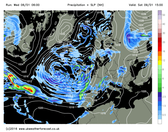
After recent flooding across different parts of the UK, the weather pattern is going to change. As mentioned in the last blog, the majority of the Jet Stream is shifting south. This will allow colder air to filter down from the north and northwest. This will be more noticable into next week.

Wed 13th Jan – Predicted position of the Jet Stream
You probably heard heavy rain overnight on Wednesday and this will be slow to clear on Thursday. After a wet morning it will gradually turn drier and a much better afternoon lies ahead with sunny spells. Breezy with a chance of isolated showers later. Max 7°C.
Still unsettled into Friday. Any dry start will be replaced by a band of showery rain moving from west to east. Drier into the evening and with clear spells overnight, a slight frost and some ice to watch out for. A cold day. Max 6°C.
Low pressure in charge of the weekend’s weather
Turning a little colder as we go through Sunday. Some rain around which might be a bit sleety over the hills. Drier later. A cold night ahead with a touch of frost possible. Max 5°C.
Looking ahead into next week and it’s looking more like it, for the cold-lovers out there, especially from midweek. Overnight frosts widespread and although it will be much drier than recent weeks we could start to see some wintry showers, so hail, sleet and some snow could be on the cards.
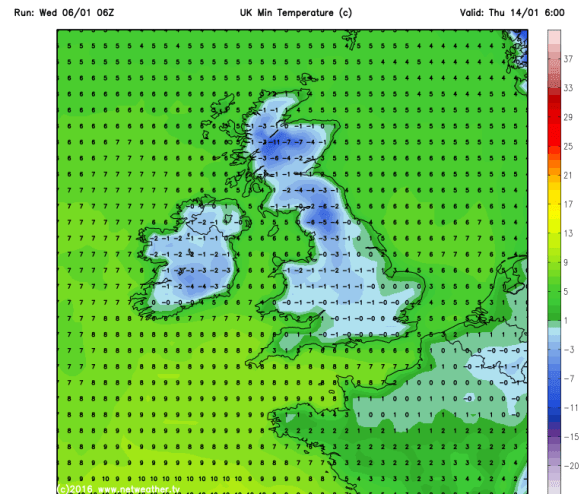
Widespread frosts into next week
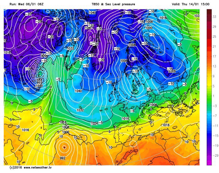
Northerly airflow brings cold air down across the UK.
December 2015 Stats
Av. Temp 8.9°C
Max Temp 14.4°C (19th)
Min Temp 0.8°C (13th)
Wettest Day 43mm (26th)
Highest Gust 46mph (5th)
Rainfall 197.8mm
Rainy Days 29
Follow @ChadWeather on Twitter to catch all the latest weather updates for Manchester and its surrounding boroughs.
Thanks for reading,
Jon
