Hi all,
Autumn is here but it’s been a muggy week, so what’s in the forecast for the next four days.
Thursday: A very mild start and any brightness will be replaced by cloud and some localised patchy rain. This is a cold front so once it clears the afternoon will be brighter with sunny spells. It will then be fresher and cooler. Max 19°C
Friday: Breezy with sunny spells. With south-westerly winds it will still be warm. Heavy showers are likely just about anywhere from the afternoon onwards. Max 20°C
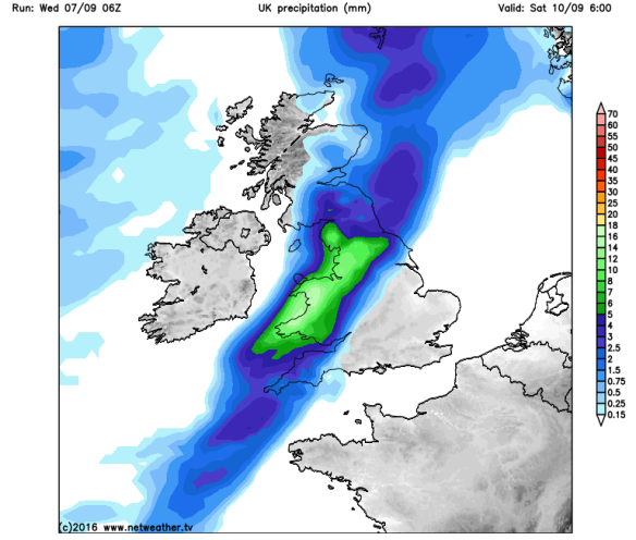
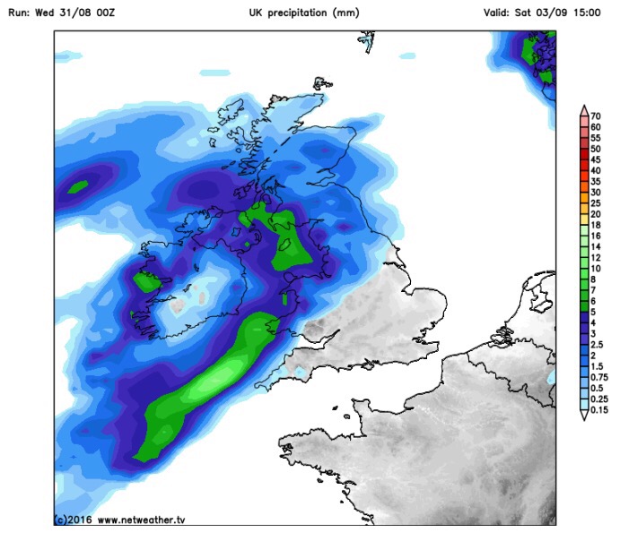
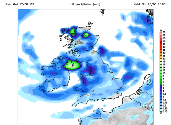
A spell of rain to start Saturday
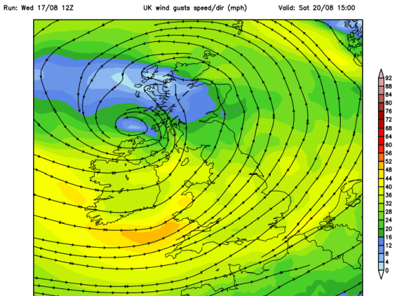
Sunday: Bright spells and breezy with the wind picking up during the day. Some showery rain likely to come in from the west later in the evening. Max 18°C
Looking ahead: Quite breezy with sunshine and some showers. I can’t see anything significantly warm or wet on the horizon. I wonder when our first cold spell will arrive and with it, our first frost.
As always, our weather is ever-changing. Keep up-to-date with what’s in store by following my tweets via @ChadWeather on Twitter.
August 2016 Stats
Av. Temp 15.7°C
Max Temp 25.9°C (23rd)
Min Temp 8.5°C (9th)
Wettest Day 21.6mm (22nd)
Highest Gust 40mph (3rd)
Rainfall 81.0mm
Rainy Days 18
Thanks,
Jon
Forecast issued at 2:30pm on Wednesday 7th September 2016
Photo: http://www.netweather.tv