
Hi all,
We’ve been under the influence of a huge area of high pressure based over Scandinavia for a good while now but finally things are about to change. If only we had had this set-up in winter.
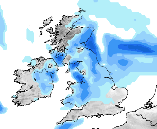
Thursday: A cool easterly wind across the region which will blow in showers, some will be heavy. Limited bright spells in between. Feeling cold. Max 11°C
Friday: The change begins as low pressure starts to edge in from the south and west. Another cool day with some showers and we still keep that nagging easterly breeze although not as strong as yesterday. Max 12°C
We can’t complain about our weather so far in October. It’s slowly become cooler but we’ve hardly had any rain; only 1mm in fact.
After a dry October so far; rain is set to return
Saturday: Low pressure anchored to our south-west feeding up a less cold southerly wind but also some spells of rain. This should turn more showery later with some sunny spells. Max 14°C
Sunday: Bright spells and showers. Still winds remain from the south so temperatures not too bad regardless of the conditions. Max 15°C
Next Week: Low pressure in charge so spells of rain but some brighter, drier interludes too. Temperatures close to average. I would expect the remainder of October to be rain-fuelled after the exceptionally dry start, but as always, long-range is anyone’s guess.
As always, follow @ChadWeather on Twitter for the very latest forecasts.
Thanks,
Jon
Forecast issued at 1pm on Wednesday 12th October 2016
Images: http://www.netweather.tv
