Hi all,
It’s a late blog today because I’ve spent the day enjoying the warmest day of the so far with some strong Spring sunshine. Is it going to continue? Of course not. No more topless sunbathing for me!
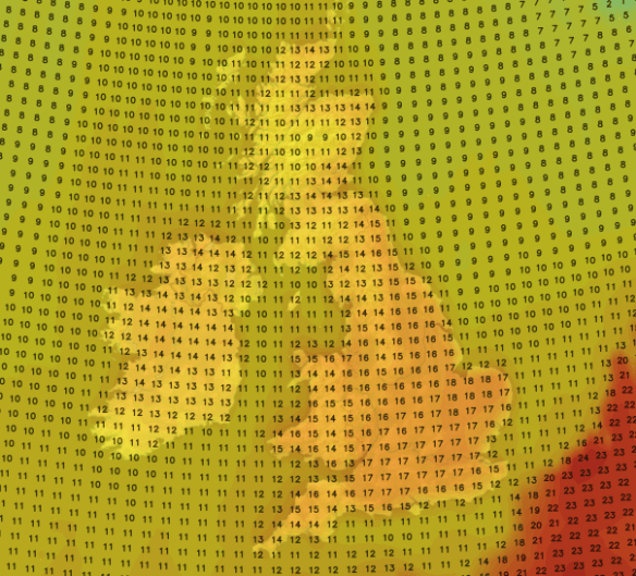
Thursday will be a dry day and again warm with plenty of sunny spells. The sunshine will tend to turn hazy later on as high-cloud arrives. Max 15°C.
A change as we go into Friday. It promises to be a cloudier day with some bright spells but the temperature will be much lower as we’ve picked up a north-easterly breeze. Feeling chilly and just maybe some light rain later on. Max 10°C.
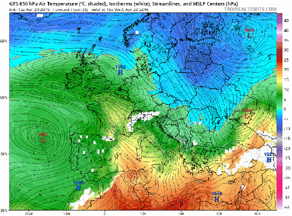
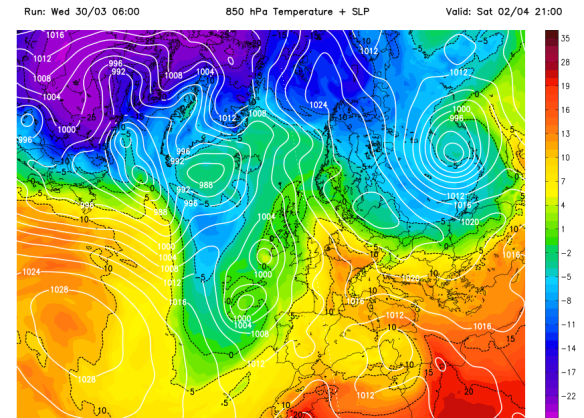
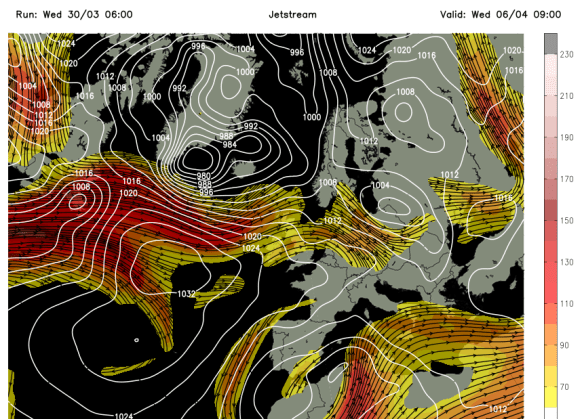
Another cold Arctic plunge this weekend and the cold lasts into next week
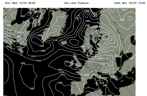
It will turn even colder as we enter the weekend. High pressure builds to our west, low pressure to the east and this allows another cold Arctic feed of air to develop over the country. Similar has occurred recently. It is a set-up we wanted back in late-winter to bring us the snow we all (well me!) wanted.
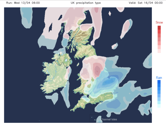
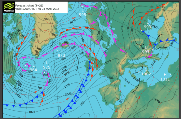
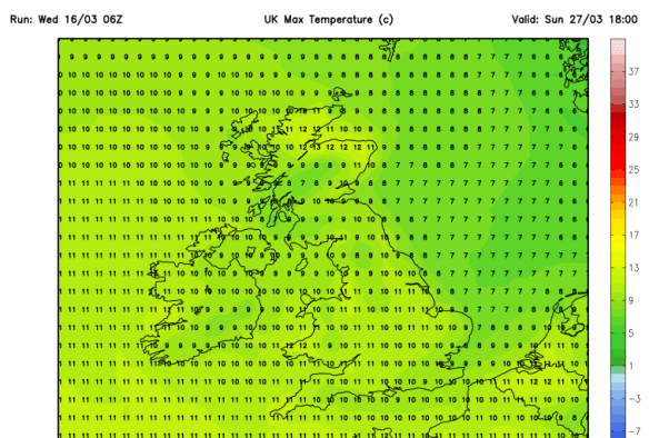
Both Saturday and Sunday will be cold with a keen north to north-westerly wind. Bright or sunny spells are expected but also some showers, which could, at times, give some hail or sleet or wet-snow to higher ground. A big contrast to earlier in the week. The nights will also become cold with frosts returning. Max 8-9°C.

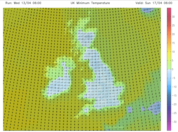
The cold nights with frost return this weekend
Looking ahead it looks likely to remain cold with temperatures below average, some showers and a risk of localised frosts. Not what we want to hear as we head towards May!
Follow @ChadWeather on Twitter to catch all the latest weather updates for Manchester and its surrounding boroughs.
Photos/Data: http://www.ukweatherforecast.co.uk; www.tropicaltidbits.com.
Forecast issued at 19:30 on Wednesday the 20th of April 2016
Thanks for reading,
Jon