Hi all,
Still no 600-feet tall wall of snow on the way 😀 but our first cold snap as winter approaches is. Northerly winds will bring frost(s) and clearer blue skies with welcome sunshine but more importantly we’ve lost the relentless rain with high rainfall totals.
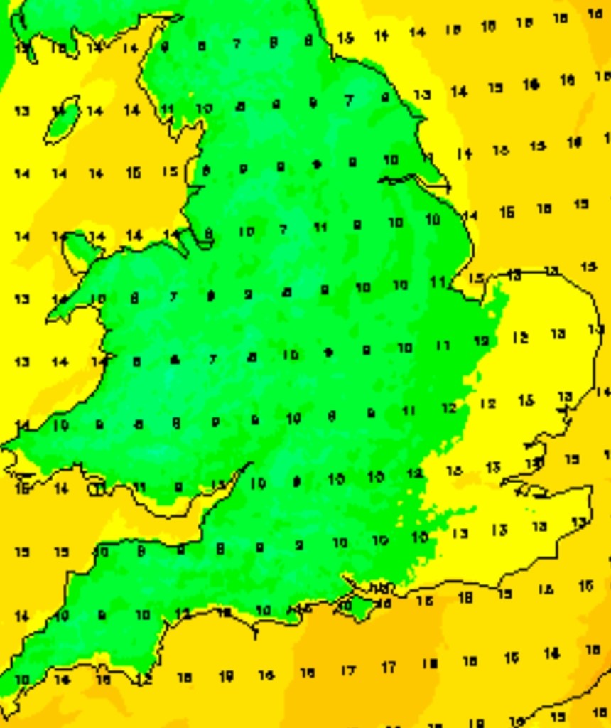
Tuesday was only our second day this month without measurable rainfall. So we need a break. There is still some rain around in this forecast but the general theme ahead is drier.

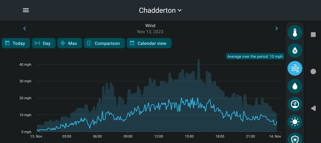
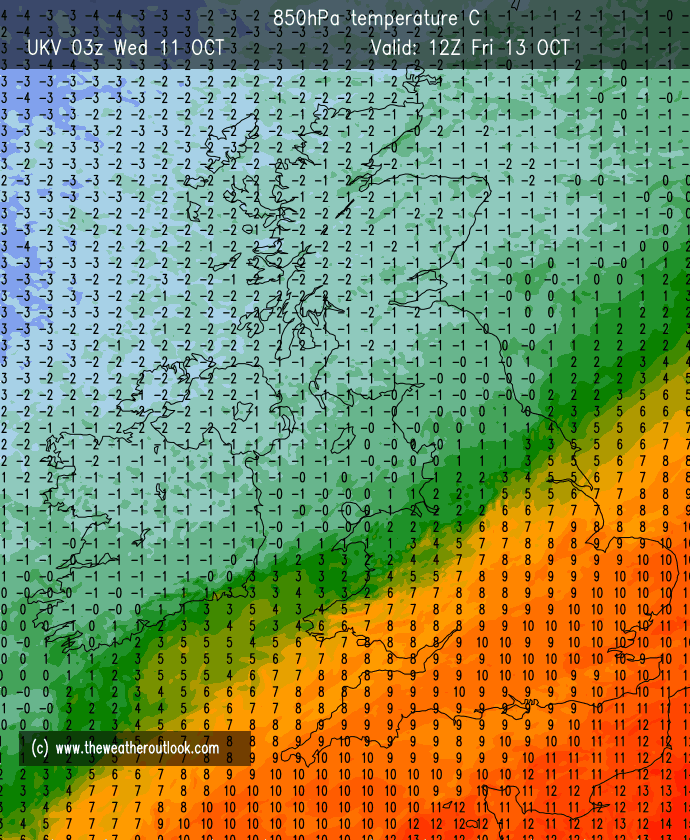
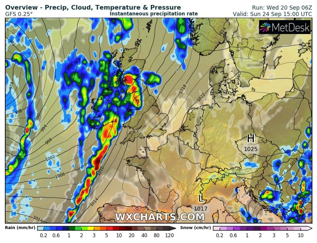
Thursday: A windy (30mph gusts) and cloudy day with some patchy rain. A more organised band of rain will sink south on a cold-front into the evening, pushing away the mild air and temperatures will fall away. Max 12°C Min 4°C


Weekend: Cold but milder air to return?
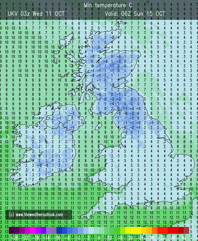
Friday: Cold Arctic air will slowly filter south, and with the windchill it will feel like a couple of degrees above freezing. The north-westerly wind will be gusty at times. Sunny spells with some cloud, especially out west. Clear skies and lighter winds overnight will lead to a frost forming. Max 6°C Min -2°C

Saturday: A frost to start then a cold but dry day with sunny spells and lighter winds. Frost likely to set in again into the evening and first part of the night but cloud could well lift temperatures later in the night. Max 5°C Min 0°C
Sunday: Depending on cloud-cover it could be another frosty start in places. Cloud is expected to topple down from the north-west making any sunshine hazy then lead to a cloudy afternoon. With the lack of sunshine it will feel cold still, despite less cold air feeding in. Patchy rain possible later into the evening. Max 6°C Min 3°C
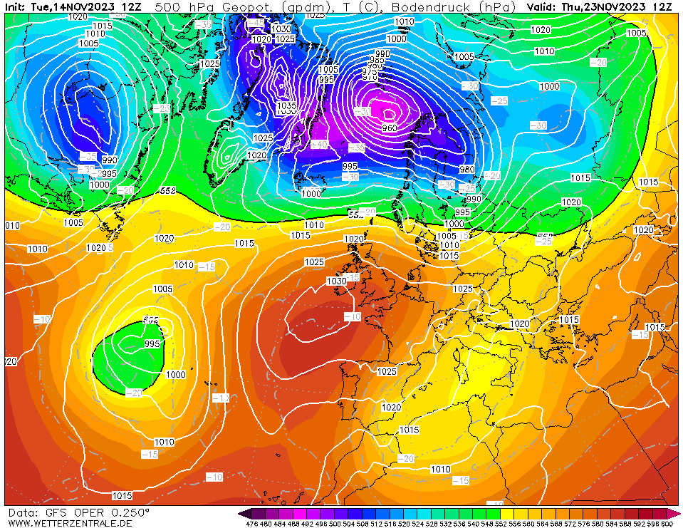
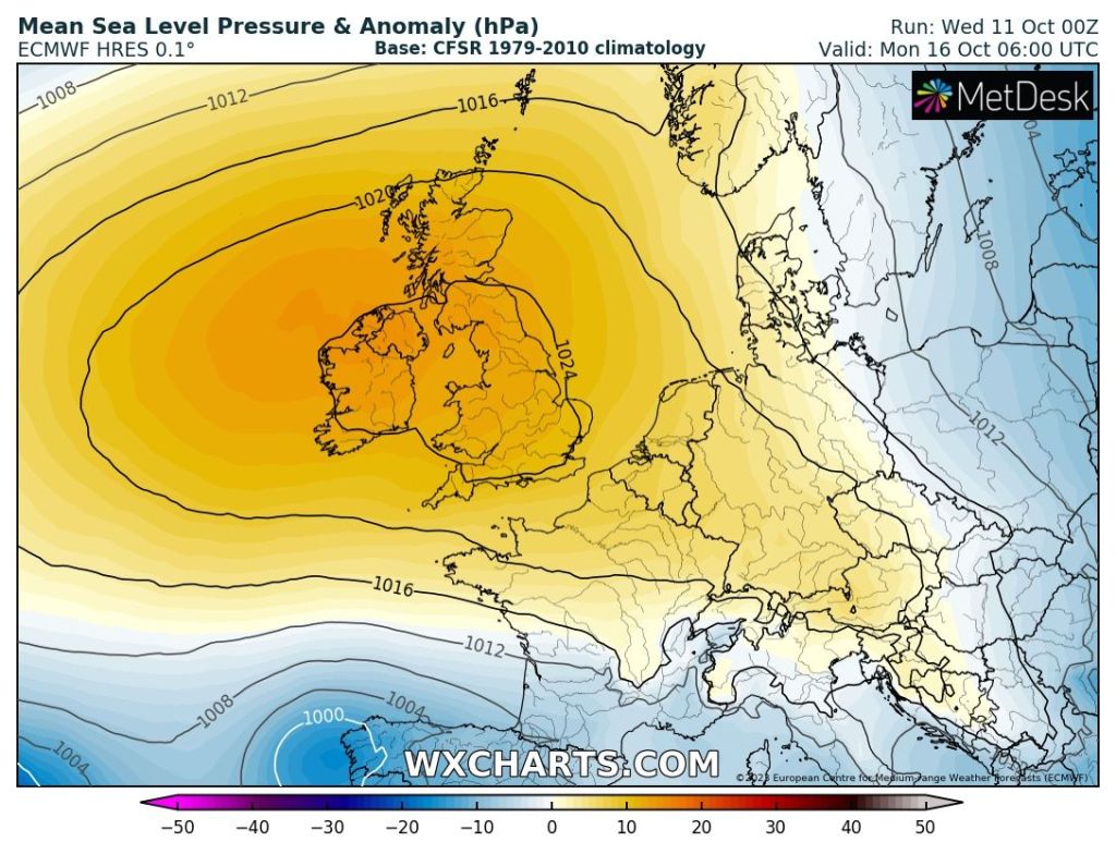
Outlook: What the weather brings next week, is not certain. It’s more favourable to turn slightly milder again from the west with some showery rain and with some colder spells from the north-west.
But, some computer models today are signalling for an easterly wind to set in. Less likely to happen but if it were to lock-in, it will become much colder with a sharp wind, and perhaps cold enough for a few snow flurries. For updates on this, look out for my posts on X.

Follow @ChadWeather on X for the latest forecasts and warnings.
Thanks again for reading.
Jon
Forecast Issued: Wednesday the 22nd of November 2023 at 12:32pm.
Images: http://www.theweatheroutlook.com & http://www.wxcharts.com