Hi all,
In my terms, we are in a pattern of settled but boring weather. Not too warm, not too cold, no frost, no snow, no rain, some dull days, some bright days but nothing to keep an eye on. The only positive, is it gives me a bit of a well-earned, much-needed rest.
With the settled pattern set to continue I will have a look at the outlook for Easter and give a ‘most likely’ forecast rather than the media tripe that has already been published.
A usual Daily Express headline rears its ugly head again – No signs of a heatwave
A chilly start on Thursday, and if we have had clear spells for long enough then perhaps a touch of frost and some fog patches. These will lift into low-cloud but sunny spells expected during the day. Max 8°C.
We have high pressure firmly in charge of our weather hence the dry and settled spell but as we enter Friday this will slip to sit to the northwest of Ireland meaning we drag in a cold northerly breeze. However, another dry day with bright spells is on the cards. Some areas may keep some stubborn cloud. Feeling chilly. Max 7°C.
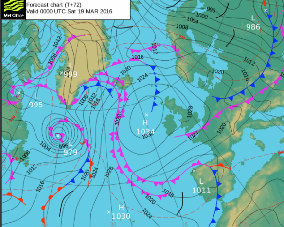
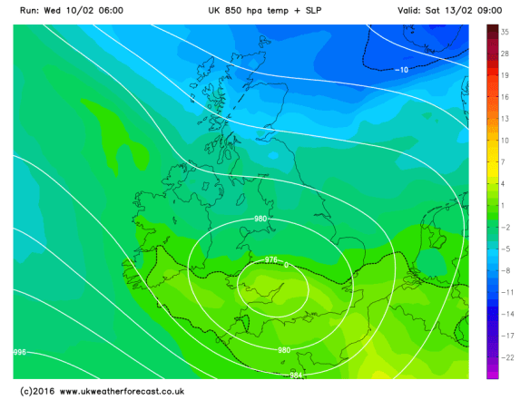
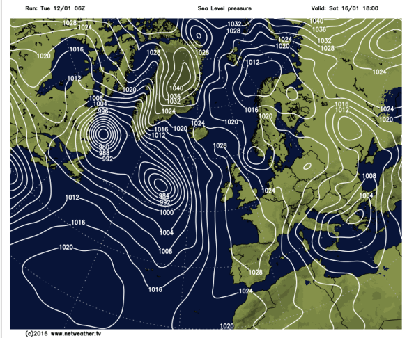
High pressure that’s giving us settled weather drifts into the Atlantic
The weekend will be mostly dry but I can’t promise wall-to-wall sunshine.
Saturday and Sunday will be similar. A cool breeze from the north and with it plenty of cloud floating around. Some of this may be thick enough to bring some drizzle or light rain to unlucky spots but quite localised. It will remain feeling cold but pleasant in any sunshine. Overnight frost will be possible where we have clearing skies. Max 8°C.
Looking ahead and little change for most of next week but there are signs that we will see the high pressure drift away as we approach Easter. This will allow some rain to push in from the northwest followed by a chilly southeasterly breeze. No heatwave on the radar, with it even being cold enough for some frost over Easter Weekend. Of course look out for updates on Twitter as it is still 10 days away.
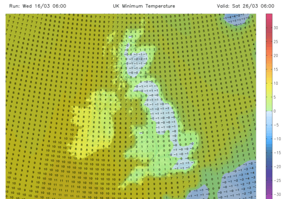
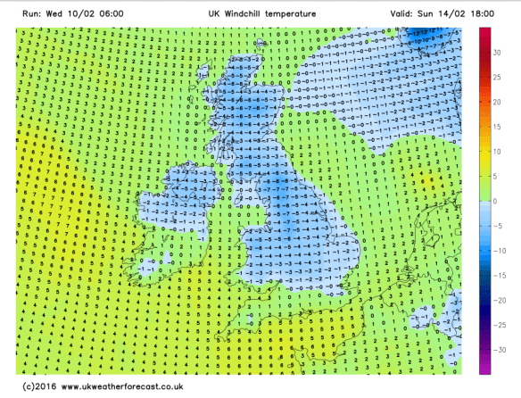
Possibly a frosty start to the Easter Weekend

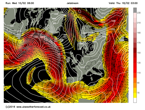
A risk of rain on Easter Sunday
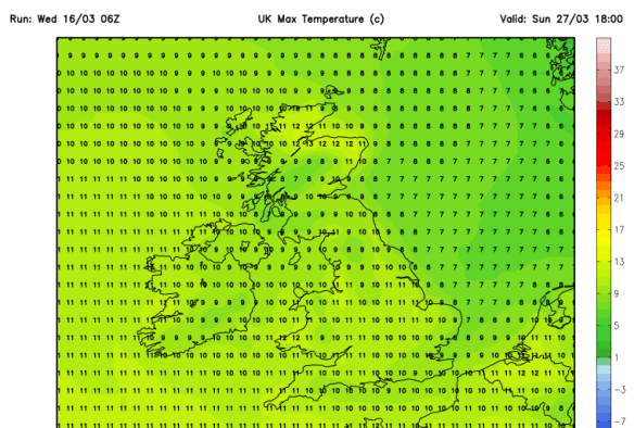
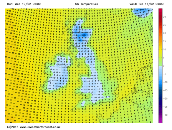
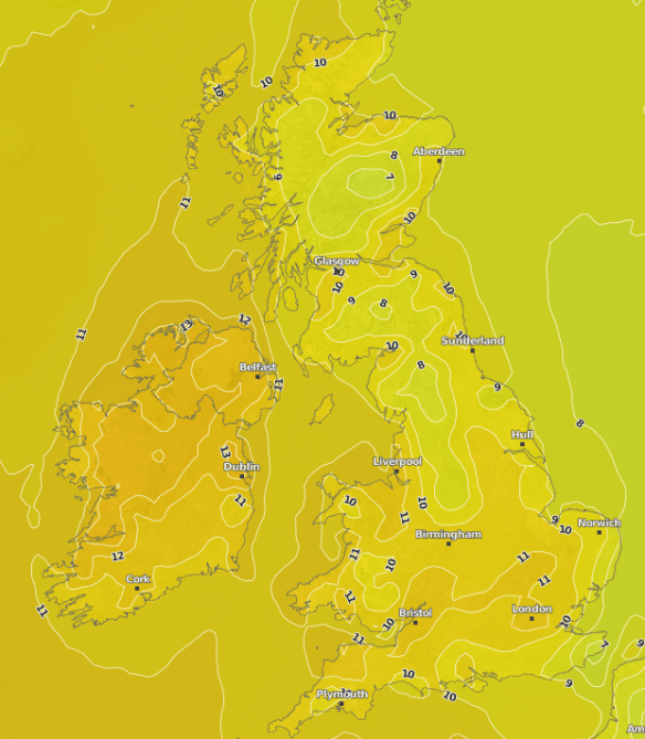
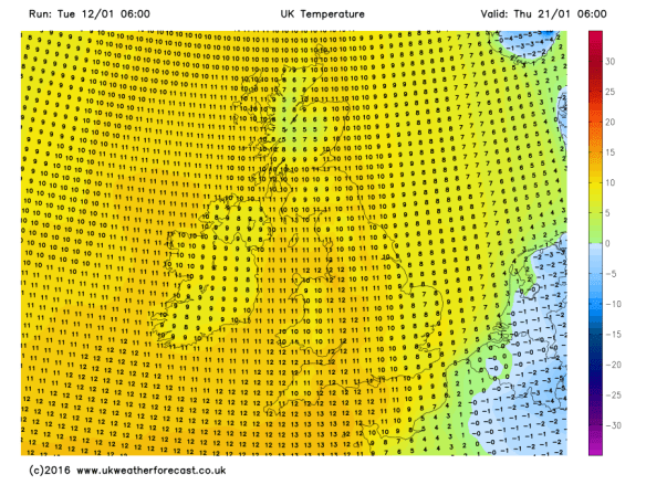
Predicted maximum temperatures for Easter Sunday – certainly no heatwave
Follow @ChadWeather on Twitter to catch all the latest weather updates for Manchester and its surrounding boroughs.
Thanks for reading,
Jon
Photos/Data: http://www.ukweatherforecast.co.uk, www.metoffice.gov.uk, www.netweather.tv
Forecast issued at 13:30 on Wednesday the 16th of March 2016