Hi all,
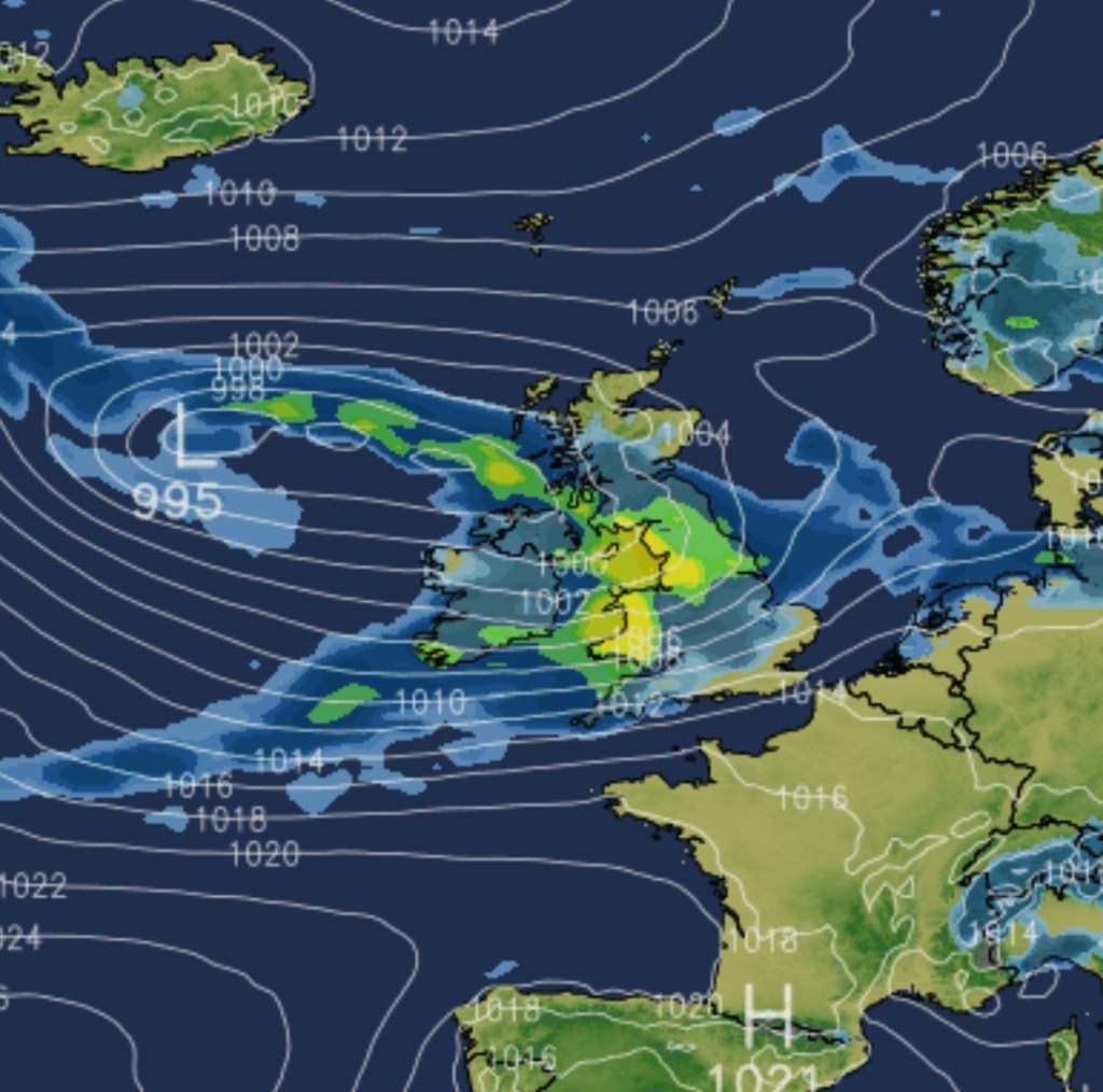
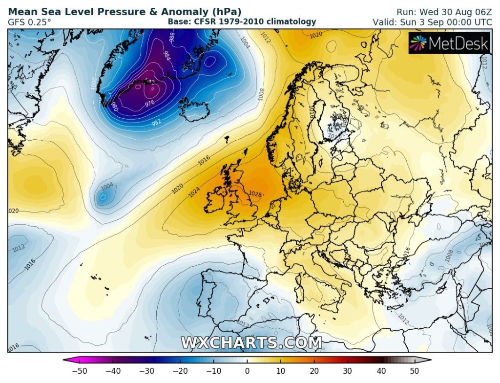
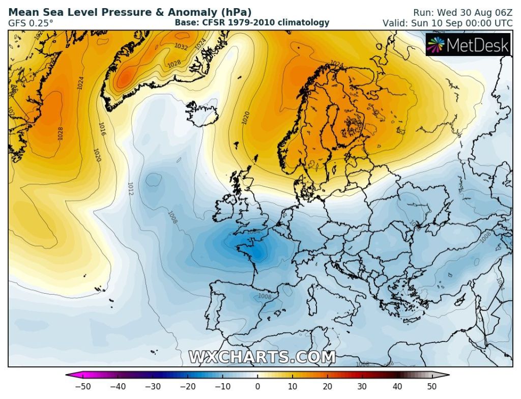
That’s it. Summer turns to Autumn on Friday, meteorologically-speaking of course. We’ve had, at least 5 or 6 weekends in-a-row with rain or showers and low pressure nearby or on top of the UK. This weekend is looking different as finally, a high pressure builds in. No summer heatwave but pleasant enough.
Thursday: A misty and chilly start but a nice one with sunny skies. Cloud will soon thicken from the south-west with patchy rain and drizzle. A little breezy. Max 17°C Min 13°C
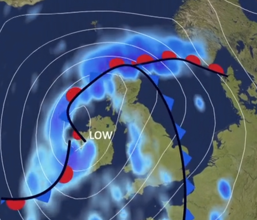
Friday: Mostly cloudy with scattered showers, some heavy. These ease later in the day as high pressure begins to build and the Jet Stream splits. A little warmer. Max 19°C Min 13°C
Weekend: Best weekend for a long while but cloud could well be stubborn in a few places early on.
Saturday: Cloudy to start in a few spots after early mist lifts. Sunny spells developing. Feeling warm, UV levels are still medium, in the sunshine but cool if you hang onto cloud for part of the day. Max 21°C Min 10°C
Sunday: Little change. Enjoy the warmth and sunny spells whilst you can. We’ve been starving of a decent weekend for a good while. Max 22°C Min 10°C
Outlook: High pressure stays around as the kids return to school. No surprise! So plenty of dry weather with sunny spells. Temperatures close to 20°C so no early Autumn heatwave planned. Still, some settled weather at last. Later in the week, towards the weekend, showers could develop as the high pressure beginning to decline.
Follow @ChadWeather on X for the latest forecasts and warnings.
Thanks as always for popping by to read my weekly blog.
Thanks,
Jon
Forecast Issued: Wednesday 30th August 2023 at 3:20pm
Images: http://www.wxcharts.com