Hi all,
Rain, rain and more rain fell on Wednesday making it one of the wettest June days I’ve recorded. The good news is the weather will improve in time for the weekend.
Thursday: Cloudy with rain during the morning but it should be light and not as persistent as Wednesday. Slowly drier into the afternoon and a little warmer. Max 17°C
Friday: Generally cloudy again with some rain or showers at times. Breezy. Max 17°C
Weekend: An improvement but windy.
Saturday: Sunny spells and mostly dry. Breezy especially later on and there will be some passing rain during the night. Max 17°C
Sunday: A fresh westerly wind but after any morning rain clears it should be dry with some bright spells. Max 16°C
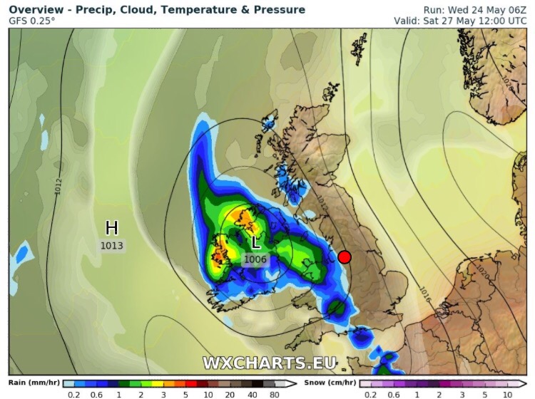
Looking ahead: High pressure will try and push up from the south but not guaranteed to anchor itself over the UK. Overall a bit warmer and some drier slots with bright spells.
Follow @ChadWeather on Twitter for further updates.
Forecast Issued at 3:30pm on Wednesday the 28th of June 2017
Thanks,
Jon