
Hi all,
Halfway through March and no sign of a late-winter chill or snowfall just yet. However, after a reasonably bright and mild few days, it will be cooler and wetter towards and over the weekend.
Thursday: High pressure slips away into Europe allowing a weak weather front to come in from the west. A cloudy day with some rain, especially on higher ground and later in the afternoon. Breezy. Max 11°C
Friday: The Atlantic influences our weather over the coming days. Another cloudy one on Friday with rain at times spreading in from the west on a freshening wind making it feel much cooler. Max 8°C
Little change into the weekend.
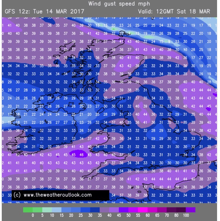
A windy Saturday & Sunday with 35-40mph gusts
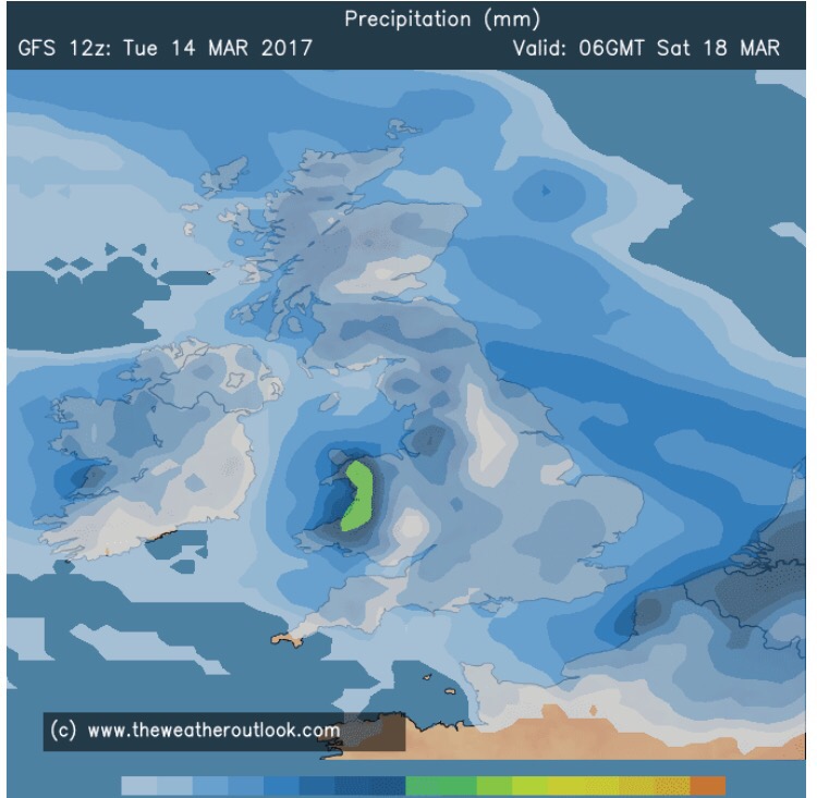
A wet weekend at times – not very Spring-like
Looking ahead: A little cooler with rain easing away to give some drier and more settled days but with some chilly nights.
Follow @ChadWeather on Twitter for the latest forecasts.
Thanks,
Jon
Forecast Issued: Wednesday the 15th of March 2017 at 11am
Images: www.theweatheroutlook.com
