Hi all,
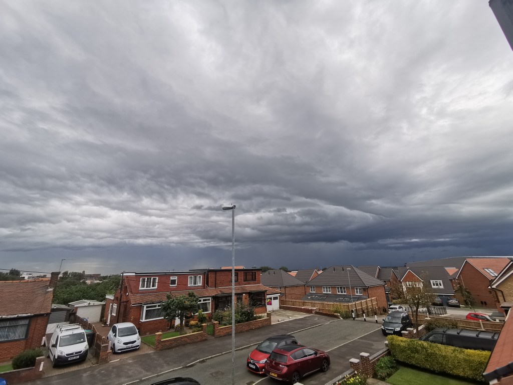
The weekly blog is back this week and with it news of unsettled weather as the Jet Stream returns across the UK. September is definitely the month of change and another grass-frost this morning, signalling the trend to much cooler weather compared to only a few weeks ago. That said, milder air is on the way but plenty of rain and wind to go with it.
Thursday: A fresh start with sunny spells but cloud will soon increase. Breezy but warmer than recently. Bright spells continue into the afternoon with the chance of a fleeting shower. Chilly night. Max 16°C
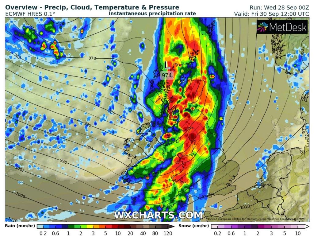
Friday: A large area of low pressure will anchor to the northwest of the UK and dominate the weather. Cloud thickening quickly, and any brightness fading as heavy rain sweeps in from the west during the morning. Winds increasing later to gust locally to 40mph. The rain will turn showery into the evening. Max 14°C
Weekend: Autumnal but improvements.
Saturday: Windy with frequent showers which could be thundery with hail. Bright spells in between. Feeling fresh and gusty during showers. Max 13°C
Sunday: Showers continuing for most of the morning but these will ease and become more scattered into the afternoon. Still windy. Max 14°C
Outlook: Maximum temperatures staying in the mid-teens. Mixed conditions with bright spells and showers. Nothing significantly cold or warm. Ground-frosts unlikely.
Follow @ChadWeather on Twitter for the latest forecasts and warnings.
Thanks,
Jon
Forecast Issued: Wednesday the 28th of September 2022 at 5:10pm
Image: www wxcharts.com