
Hi all,
Last month was the driest July in England since 1935 according to the data collated by the Met Office. I mentioned numerous times that we were on for well below-average rainfall and even though we ended the month with 11 consecutive days of measurable rainfall, we only saw 38% of the average. August has started with two days of rain and a total of 16mm already. But, despite a few showers, the main trend now is to much drier conditions once more and warmer temperatures into next week.
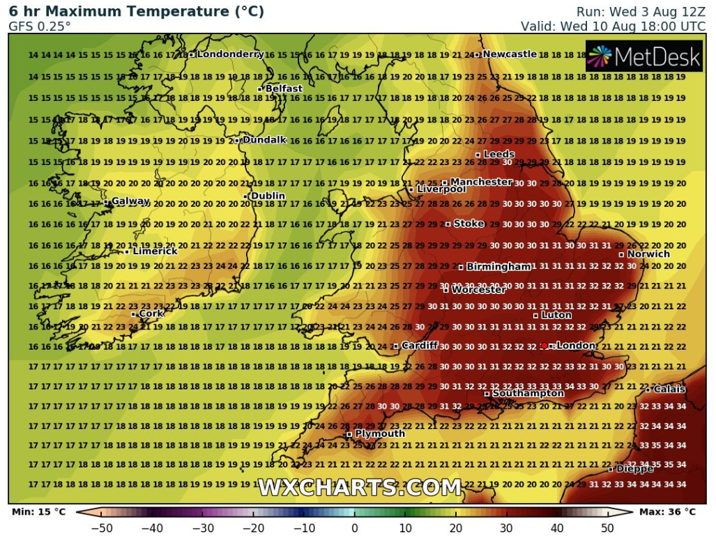
Some computer models are certainly hinting at a heatwave returning from the second week of August and perhaps lasting 7-10 days, especially in southern (mostly SE) England. I did post a chart on Twitter the other day to show that a model predicts 40°C again. Of course this is an outlier and very unlikely, or in my own words last time, “will never happen”. My thoughts are again very similar, I can’t see it happening but with temperatures into the 30s looking likely once more, never say never.
It’s been a muggy few days but we are slowly slipping into fresher air now and the next few days will see temperatures below-average but I’ll take that as it will be matched with brighter skies and drier weather. Before today we have seen welcome rainfall deliver 46mm on 13 consecutive days.


Thursday: Fresher air under a north-westerly airflow. Morning-showers move through quickly leaving a breezy day with sunny spells and a few scattered showers. Max 19°C
Friday: A similar day. No humid air so pleasant in the sunshine as we see a day of bright spells and isolated showers. Most staying dry. Max 18°C
Weekend: Slowly warmer with high pressure building.
Saturday: Perhaps disappointing cloud amounts at times, limiting the amount of sunshine but dry and bright. Max 18°C
Sunday: Sunny spells and warmer. Slight breeze, again from the north-west so not feeling humid. Max 21°C
Outlook: A lot of dry weather with high pressure in control. The position of the high and the wind-flow will be important and determine how quickly temperatures rise. Temperatures expected to be in the early-20s with the chance of them creeping into the mid-20s later in the week. The warmth could introduce more in the way of humid air and this could set off an isolated home-grown shower, otherwise warm and dry.
July 2022 Stats
Max 36.6°C (19th)
Min 9.7°C (16th)
Av. 17.0°C
Wettest 10mm (24th)
Av. Humidity 75%
Av. Barometer 1021.2 hPa
Max Gust 21.9mph
Av. Wind Direction W
Rain 35mm (38% of av.)
Rain Registered Days 15
Dry Days 16
Follow @ChadWeather on Twitter for the latest weather forecasts and warnings.
Thanks,
Jon
Forecast Issued: Wednesday the 3rd of August 2022 at 5:50pm
Image: http://www.wxcharts.com
