
Hi all,
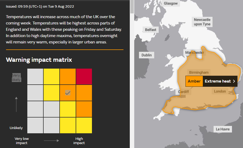
Well well well. Another heatwave. August normally disappoints, and OK there is still time left for August to be wet and miserable for the latter part of the month, but the next 5 days are set to be hot and increasingly humid after maximum temperatures reached 25°C on Tuesday and have risen since. Temperatures will make it into the 30s but it will not be as hot as the heatwave of July.
**UV levels are still HIGH (6/7) mostly between 12pm-2pm**
Nights will be warm and a little uncomfortable for sleeping but with relatively low dew points and humidity (until later in the weekend) it could have been a lot worse.
Thursday: The heatwave is in control now, as is high pressure, slam bang across the country bringing a hot day with plenty of sunshine. If you do head to the coast there will be some sea breezes. Max 30°C Min 17°C
Friday: Little change. Hot and sunny with a slight breeze from the east to north-east. Max 31°C Min 18°C
Weekend: More heatwave conditions.
Saturday: Yep, you guessed it another hot and sunny day with a breeze picking up. Max 31°C Min 17°C
Sunday: Sunny spells with cloud bubbling up during the day; the sign of change. This will be the first signs of a breakdown to the current heatwave as low pressure drifts up from the south. Chance of some thundery showers breaking out later in the day but very isolated. Muggy. Max 31°C Min 18°C
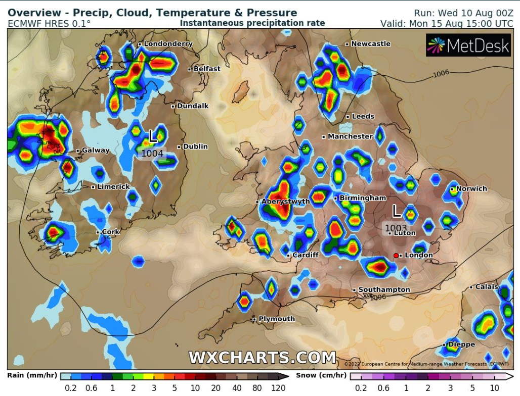
Monday: A cooling theme with scattered thundery showers breaking out. Sunny spells in between. More bearable temperatures but it will be humid as fresher air will slowly arrive on Tuesday. Max 25°C
Outlook: A cooling trend as the weather turns showery with the high slipping away to the east and low pressure coming up from the south or south-west. Locally some hefty downpours and finally some relief from what was a prolonged dry and hot spell of weather. Temperatures returning to around normal values, max 20°C, with the Atlantic driving our weather during the latter part of the week.
Follow @ChadWeather on Twitter for the latest forecasts and warnings.
Thanks,
Jon
Forecast Issued: Wednesday the 10th of August 2022 at 3:05pm
Images: Met Office and http://www.wxcharts.com
