Hi all,
March’s stats are in and it was a very dry month overall with 6-times less rainfall than February and with a decent spell of dry and sunny weather. In fact we went 13 days without rain and enjoyed temperatures close to 20°C and blue skies. I miss those days.
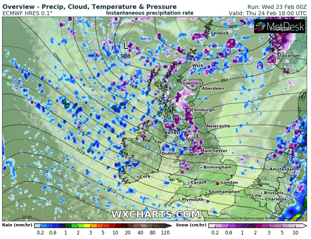
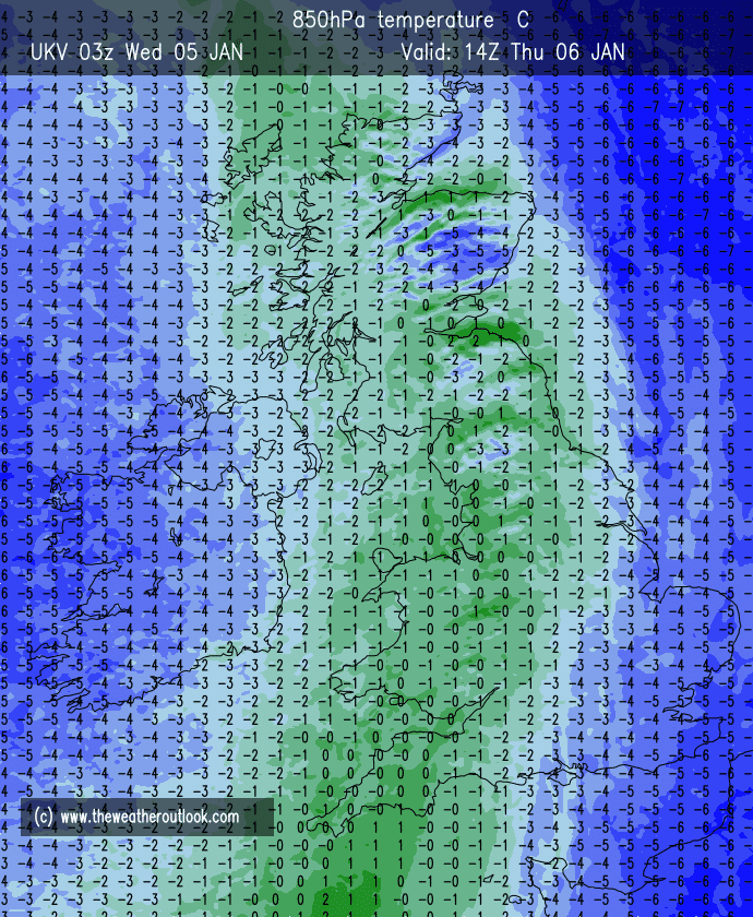
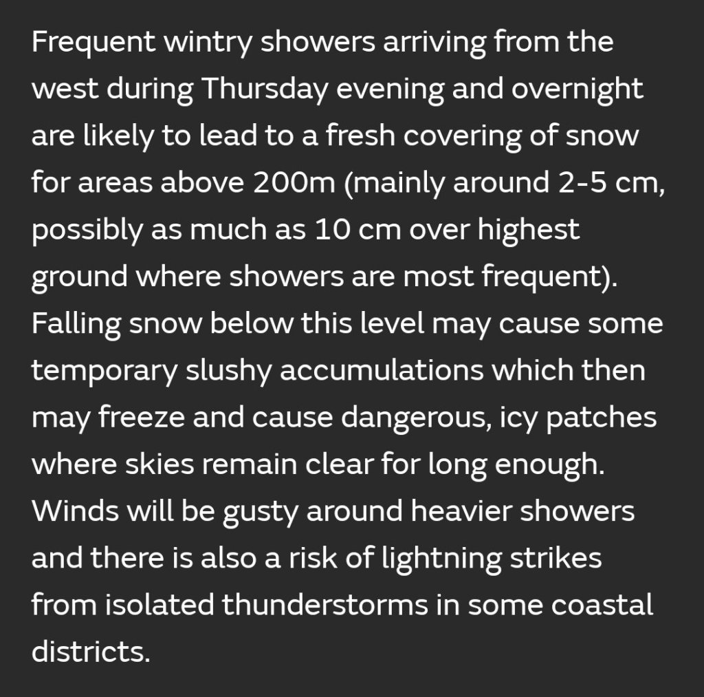
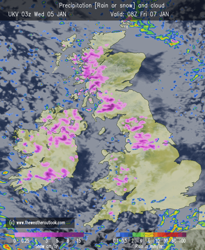
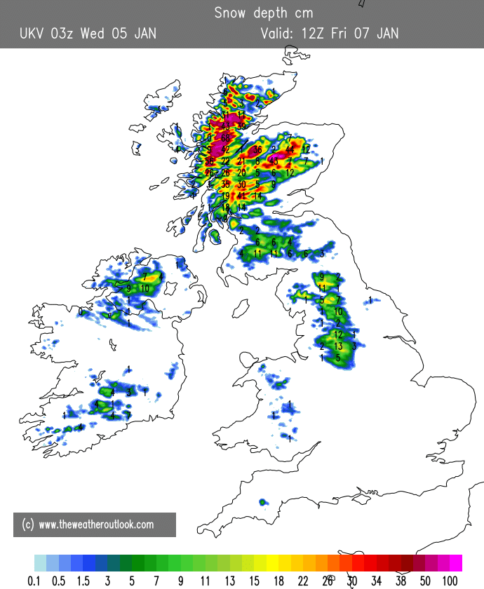
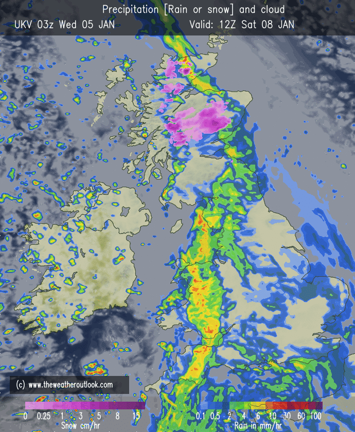
Thursday: Much colder air has now arrived from the North after a windy night. Early rain then it will be a day of blustery, wintry showers with some hail, sleet and hill-snow. Feeling cold throughout. Max 8°C
Friday: A frosty start with plenty of sunshine. Clouds bubbling up with wintry showers breaking out again. Breezy but not as windy or as cold as Thursday. Max 10°C
Weekend: A better Saturday than Sunday.
Saturday: A frost to start then a decent day with sunny spells and a fresh breeze but not as windy as recently. Clouding over by evening which could lead to a nice sunset. Max 10°C
Sunday: Cloudy with a change to a southwesterly airflow bringing some localised drizzle or patchy rain. Winds picking up. No frost as milder air pushes in. Max 11°C
Outlook: Warmer overall with temperatures into the mid-teens and feeling pleasant in any sunshine. Sunny spells expected during the week but occasionally cloudier conditions with a few showers also on the cards. Breezy at times but with no frosts or cold spell likely.
March 2022 Stats
Max 18.6°C (25th)
Min -0.7°C (7th)
Av. 7.9°C
Wettest 4.4mm (3rd)
Av. Humidity 75%
Av. Barometer 1023.2 hPa
Max Gust 33.4mph
Av. Wind Direction SE
Rain 20.8mm (well below average)
Rain Registered Days 11
Dry Days 20
Air Frosts 2
Snow Falling Days 2
Follow @ChadWeather on Twitter for the latest forecasts and warnings.
Thanks,
Jon
Forecast Issued: Wednesday the 6th of April 2022 at 8:30pm