
Hi all,
First month of Spring done, and the last week or so of it spent in ‘lockdown’. Since we’ve been limited to one form of exercise a day and confined to work and home, the weather has settled down and we’ve only had measurable rain fall once in 9 days. No surprise!
After some warm sunshine last week we’ve been back to cloudier skies and colder conditions recently, especially in the wind. We actually had 7 nights of ground-frost last week too (lowest grass temperature being -4.5°C). The rain/wind was looking likely to return this weekend and turn unsettled but now it’s not looking so bad and with a couple of warmer days ahead too. The sun is now as strong as the first week in September. UV levels are now 3-4, which in fact isn’t that strong but still good enough to start a tan if you bask in some sunny periods.
Thursday: Showers moving southeast then turning a little brighter but very windy and feeling quite cold for the time of year. Max 9°C
Friday: Not as windy and a cold start with a touch of ground-frost. Sunny spells and the odd shower. Temperatures still below normal. Max 9°C
Weekend: Becoming warmer but windy
Saturday: Sunny spells and windy. Turning milder throughout the day and staying dry. Max 13°C
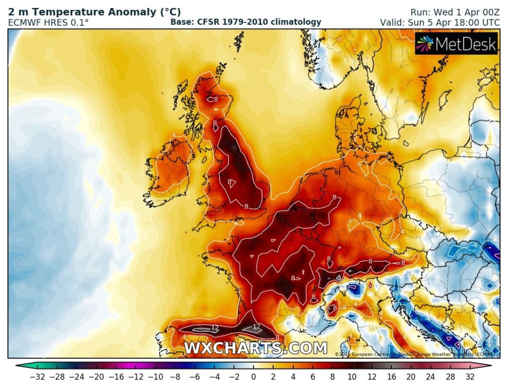
Sunday: Sunny spells and windy. A gusty but warm southerly airflow. Cloud thickening later with some rain overnight. Temperatures well above average. Max 17°C
Outlook: A couple more days of sunny spells, after some early rain on Monday. Not as warm as Sunday but still pleasant enough. A little cooler and perhaps unsettled later in the week.
March 2020 Stats
Max 17.4°C (25th)
Min -1.9°C (6th)
Av. 6.2°C
Av. Dew Pt 2.1°C
Wettest 18.8mm (9th)
Av. Humidity 76%
Av. Barometer 1016.7 hPa
Max Gust 47.2mph (11th)
Av. Wind Direction WSW
Rain 74mm
Rain Registered Days 15
Dry Days 16
Air Frosts 2
Follow @ChadWeather on Twitter for the latest weather forecasts.
Thanks,
Jon
Forecast Issued: Wednesday the 1st of April 2020 at 7:15pm
