
Hi all,
Meh. June might have had a brief ‘heatwave’ and reached 30°C but it delivered a lot of rain, 170% of the monthly average, mostly coming from thundery downpours, and overall was disappointing. Here’s July and although it’s a new month, there’s little change in our weather for now…..
As always at this time of the year when sunny – HIGH UV LEVELS – Wear sun-cream.
Thursday: Rain to start, pushing away to the south and turning showery. Bright spells later and drier towards evening. Max 18°C
Friday: Cloud thickening throughout the day with rain slowly spreading in, with some heavy bursts. Becoming windy with extensive hill-fog. Max 16°C
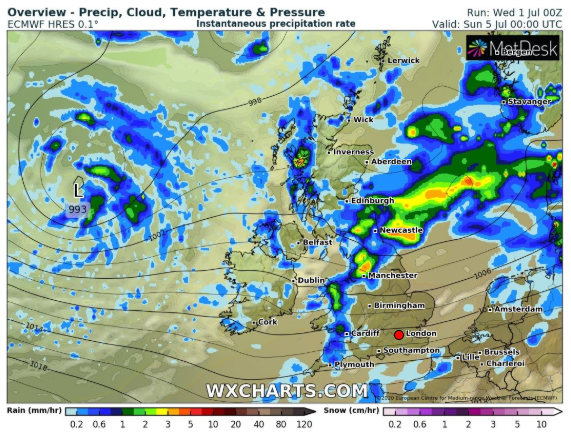
Weekend: Still unsettled.
Saturday: A band of rain moving southeast to be replaced by a few showers and the odd bright spell. Breezy. Max 17°C
Sunday: A windy day with scattered showers and some bright or sunny spells in between. Max 18°C
Outlook: It looks like high pressure will slowly edge in from the southwest (just) settling the weather down. So drier and brighter with sunny spells breaking out as the week progresses. Temperatures a little disappointing at first but then recovering to around 20°C towards the end of the week. With areas of rain to the northwest we might see some breezy days but we will live with that after recent conditions.
June 2020 Stats
Max 30.0°C (25th)
Min 6.3°C (5th)
Av. 14.6°C
Av. Dew Pt 10.3°C
Wettest 39.8mm (16th)
Av. Humidity 77%
Av. Barometer 1012.7 hPa
Max Gust 39.1mph
Av. Wind Direction WSW
Rain 132.6mm
Rain Registered Days 19
Dry Days 11
Follow @ChadWeather on Twitter to keep up with the latest weather forecasts.
Thanks,
Jon
Forecast Issued: Wednesday the 1st of July 2020 at 7:40pm
Image: https://www.wxcharts.com/
