
Hi all,
Winter is fast approaching and we will certainly feel the nip in the air for a short while this week. As the winds drag some colder conditions down from the North, expect some blue sunnier skies but it doesn’t last long as rain and milder temperatures return.
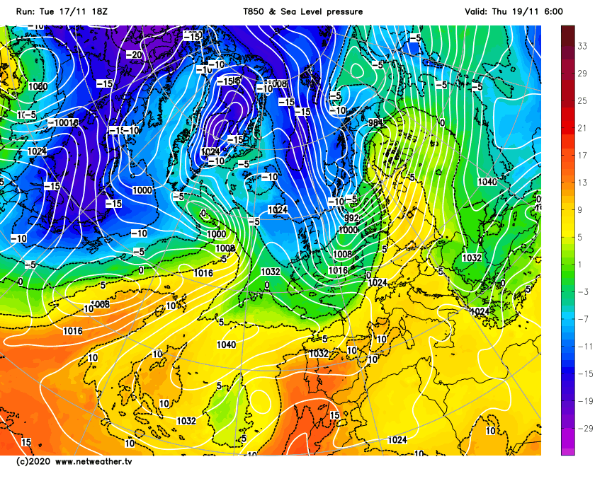
Thursday: A cold and windy start with showers moving south-east. With colder air in place these could be wintry on the Pennines, but they won’t hang around for long. The day will turn dry with plenty of sunny spells. Feeling much colder especially in the wind. Patchy frost for the first half of the night. Max 7°C
Friday: Thicker cloud now covers the region with rain returning from the West quickly and feeling chilly. Becoming milder by evening. It will turn breezy. Max 11°C
Weekend: Improving slowly.
Saturday: The cloudy picture continues with rain at times adjusting to showers later. Windy and mild. Max 12°C
Sunday: A better day with sunny spells and the odd shower. Breezy and feeling cooler. Max 10°C
Outlook: Disappointing really. A lot of cloud with some patchy rain at times. Often breezy and temperatures around normal, 8-11°C. Hints of something brighter but colder towards the end of the week.
Follow @ChadWeather on Twitter for the latest forecasts and up to date information on any severe weather.
Thanks for reading.
Jon
Forecast Issued: Wednesday the 18th of November 2020 at 16:40.
Image: http://www.netweather.tv
