
Hi all,
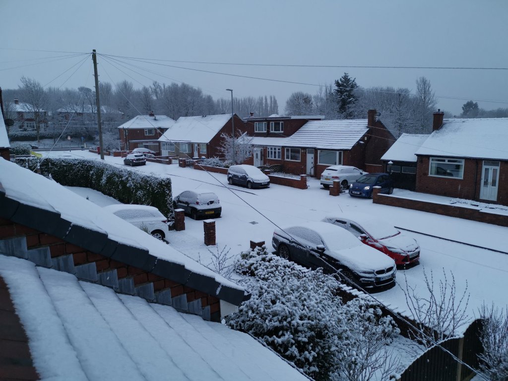
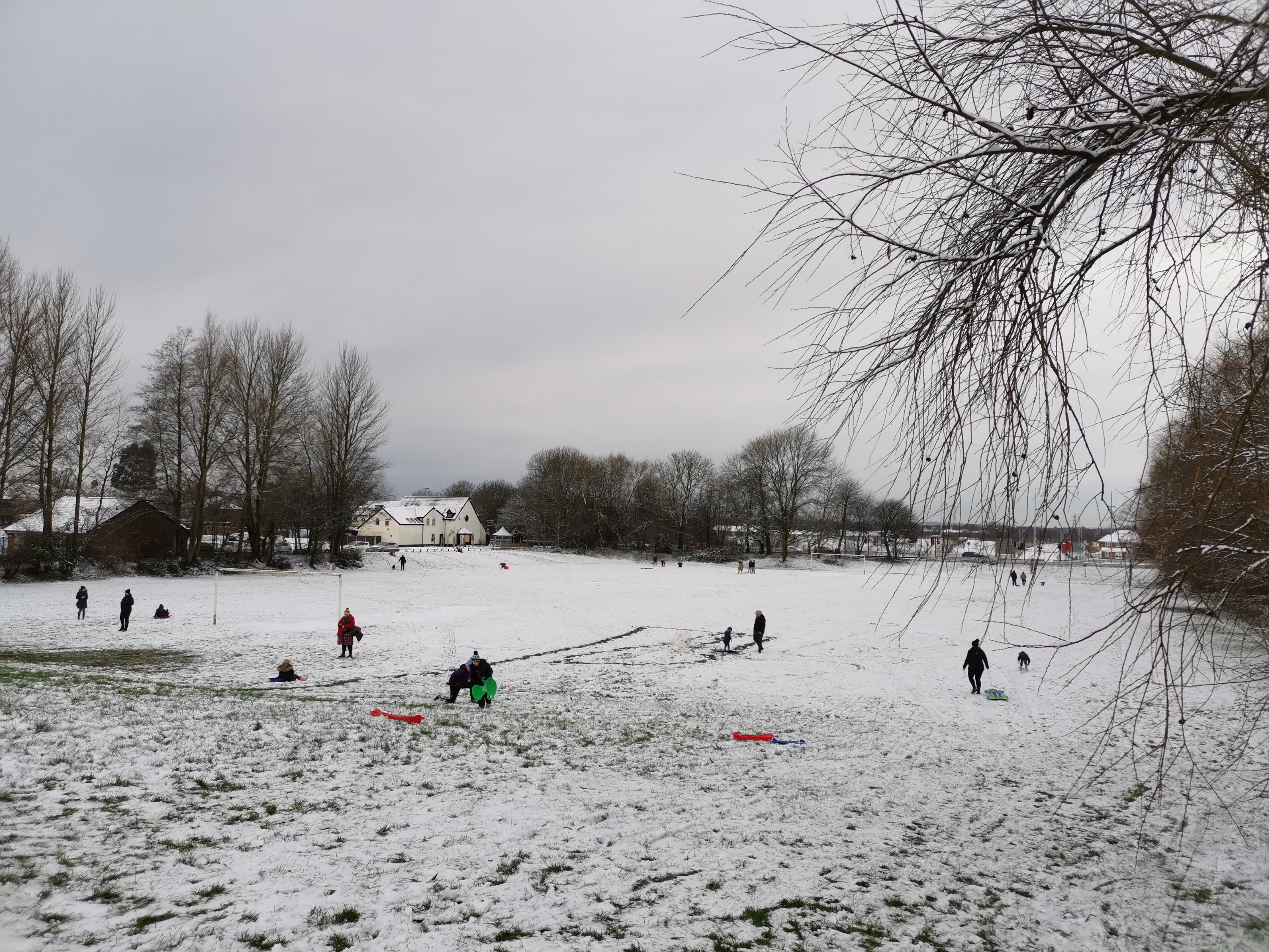
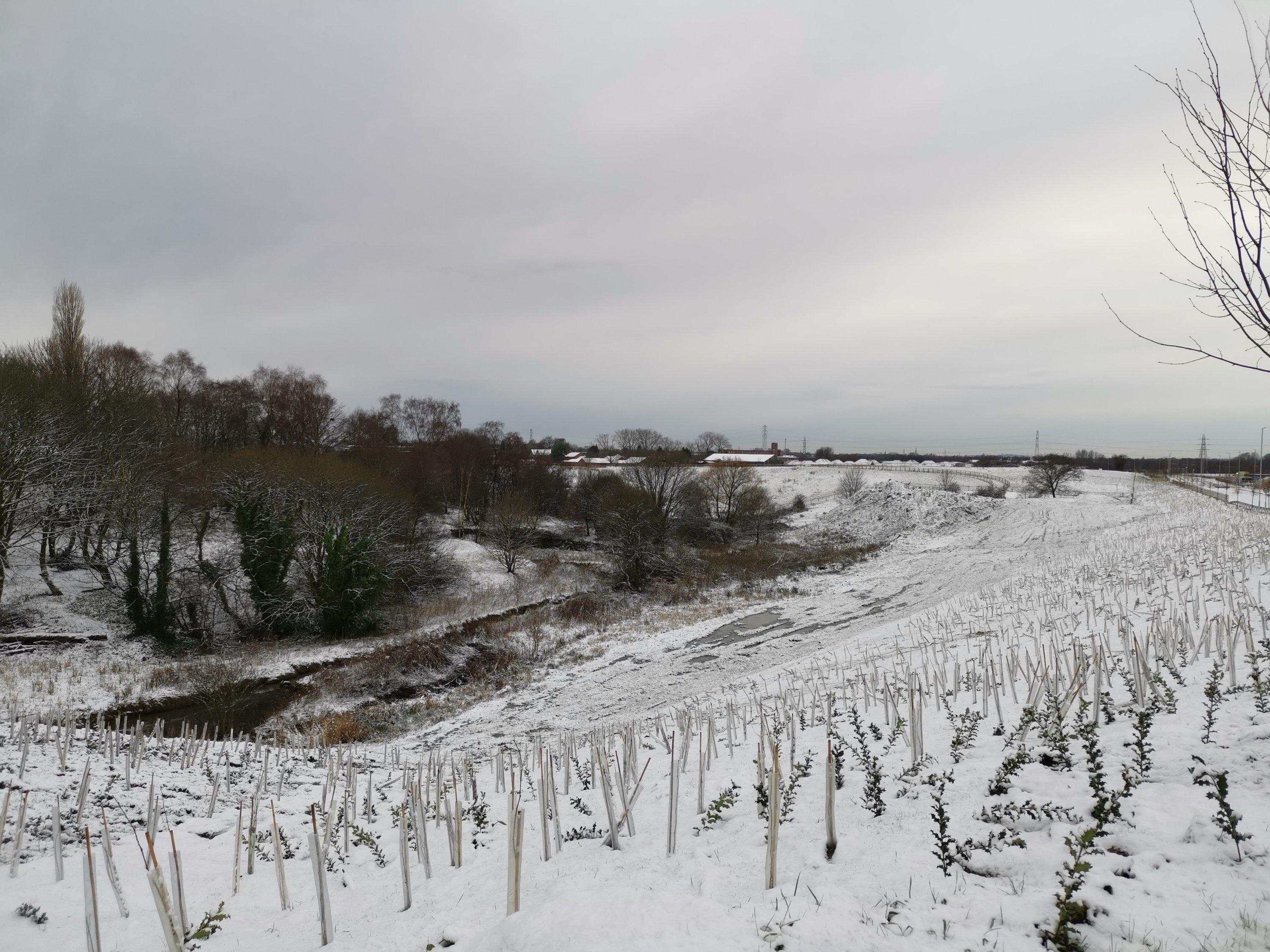
A winter-chill has its firm grip across the region but it’s not severe cold and we’re not exactly hiding from a Beast from the East, yet! It’s been nice to see some snow and winter-cold over the festive period and not only that but a few flurries on Christmas Day brought us a White Christmas. I hope you all had a fantastic Christmas and didn’t eat too much!
Thursday: Early fog and some localised wintry showers, falling as snow for some, favourably above 150M. These showers will ease as we head into the afternoon so turning drier but remaining cold. Max 3°C
Friday: During the early hours a band of rain, sleet and snow will come down from the north but it will be breaking up and weakening all of the time so not much snow is expected. Bright spells later, especially in the north. Frosty overnight. Max 4°C
Weekend: Dry and cold
Saturday: A mostly bright day with some sunny spells in the morning. Cloudier later. Feeling cold with frost morning and night. Max 4°C
Sunday: Overcast, dry and cold. Max 4°C
Outlook: Sleet and snow showers expected during the week but details uncertain at this stage. Some bright spells too, frosty nights remain and temperatures stay cold during the daytime, max 3-5°C. A raw north-easterly breeze. No sign of the cold weather easing.

Social media has been touting the ‘Beast from the East is coming’. Can’t be ruled out but no concrete signs of it happening just yet.
All the best for 2021 – surely it can only be better than 2020.
Thanks for reading,
Jon
Forecast Issued: Wednesday the 30th of December 2020 at 18:25.
