
Hi all,
Yep, I know it’s too hot. 27-28°C wouldn’t be too bad if it wasn’t so humid and muggy and with dew points up around 17-18°C it’s been too much for me. So I’m happy to know it’s coming to an end but as always, with the British Weather, I’ll be moaning about how poor it is within days. Standard.
HEATWAVE: Here are the maximum temperatures I have recorded so far during this hot spell with the overnight lows too.
17th July 27.2°C : 15.0°C
18th July 26.7°C : 15.4°C
19th July 26.7°C : 15.7°C
20th July 27.0°C : 16.7°C
21st July 27.6°C : 16.4°C
Thursday: Hot with plenty of sunshine, perhaps a little hazy at times. Light winds and muggy. Low risk of an isolated thunderstorm. Looks set to be the hottest day of the heatwave. Max 30°C
Friday: Very warm to hot with sunny spells, but temperatures will be lower. There will also be a noticeable, and welcome breeze from the east. Max 26°C
Weekend: Turning unsettled & less hot.

Saturday: Cloudy with showery rain slowly pushing up from the south. Some of these showers could be thundery later in the day. Still quite humid but much lower temperatures. Max 20°C
Sunday: Quite muggy with bright spells and beefy showers developing, with some strong thunderstorms possible (look out for warnings). Welcome rain after the baking of last week. Max 21°C
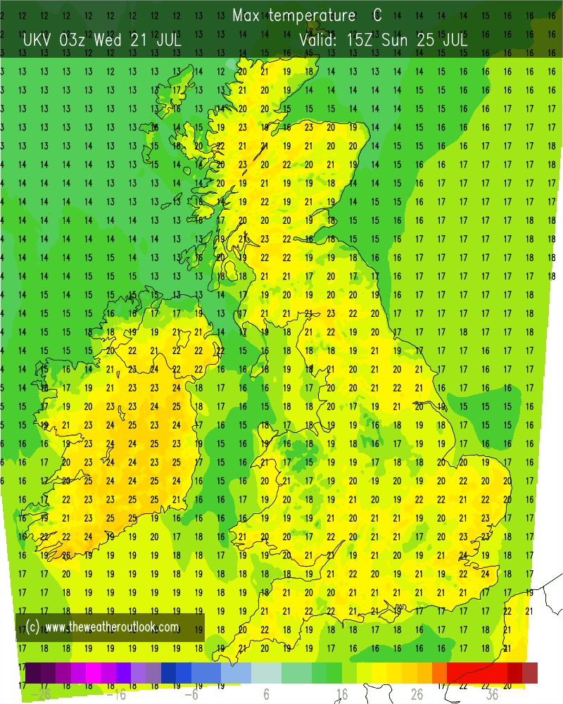
Outlook: Our weather will return to what we are used to in a British Summer. Unsettled with showers at times and temperatures back to average, hovering around the 20°C mark. Odd thundery downpour possible too.
Follow @ChadWeather on Twitter for the latest forecasts. If you like reading my weekly blog then give the tweet a RT and hopefully this 4-day outlook can help others plan their day.
Thanks,
Jon
Forecast Issued: Wednesday the 21st of July 2021 at 7:05pm.
Images: http://www.wxcharts.com and http://www.theweatheroutlook.com
