Hi all,
So far in September (up to the 14th) we’ve had 50mm of rain, so already passing the previous 3 months of summer’s individual monthly totals. Autumn is making up for that decent summer but we now enter a dry spell once again, which could last over a week and it will start to feel chilly.
**UV levels are now down to MEDIUM (4) between 12pm-2pm**
After some sunny spells earlier this week, cloudier conditions and cooler air is set to arrive.
Thursday: Fresh start then a dry day with a north-westerly breeze and sunny spells. Cloud bubbling up during the day. Max 16°C Min 7°C
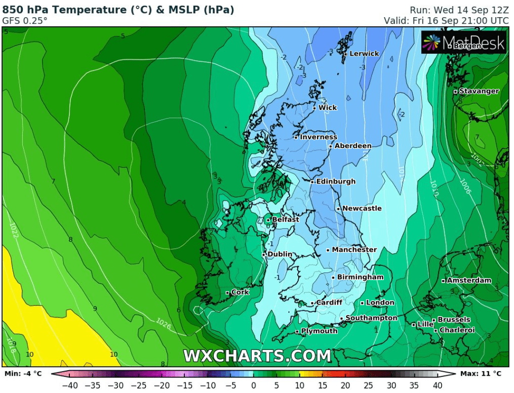
Friday: High pressure out to our west, so plenty of dry weather with variable cloud feeding down from the north-west on a cool and gusty breeze with sunny spells. Cool but pleasant enough in the sunshine and sheltered from the wind. Cold night ahead with the chance of ground-frost in rural spots. Max 15°C Min 4°C

Weekend: Cloudier second-half.
Saturday: The fresh north-westerly airflow continues and cloud will increase after a bright morning. Dry. More in the way of cloud overnight so not as cold. Max 15°C Min 8°C
Sunday: The high pressure will have drifted a little bit further east, so the wind should not be as strong. Cloudy day expected with some breaks here and there. Feeling cooler with less in the way of brightness. Max 14°C Min 7°C
Outlook: High pressure to hang around for a few more days, so little change. It will then drift away later in the week, allowing for a steady south-westerly breeze to pick up, dragging in cloud with the odd patch of rain but most will stay dry. Temperatures will recover a little but no sign of a late summer-burst on the horizon!
Follow @ChadWeather on Twitter for the latest forecasts and warnings.
Note: There will be no blog next week as I’m off to Spain for a golfing holiday. Forecast tweets will continue and maybe the odd Spanish photo or two ;).
Thanks,
Jon
Forecast Issued: Wednesday the 14th of September at 5:35pm.
