
Hi all,
WOW. What a cold week that was and although it’s not over yet, much milder weather is on the way, but will it last?
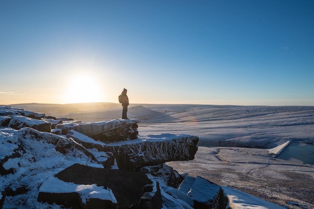
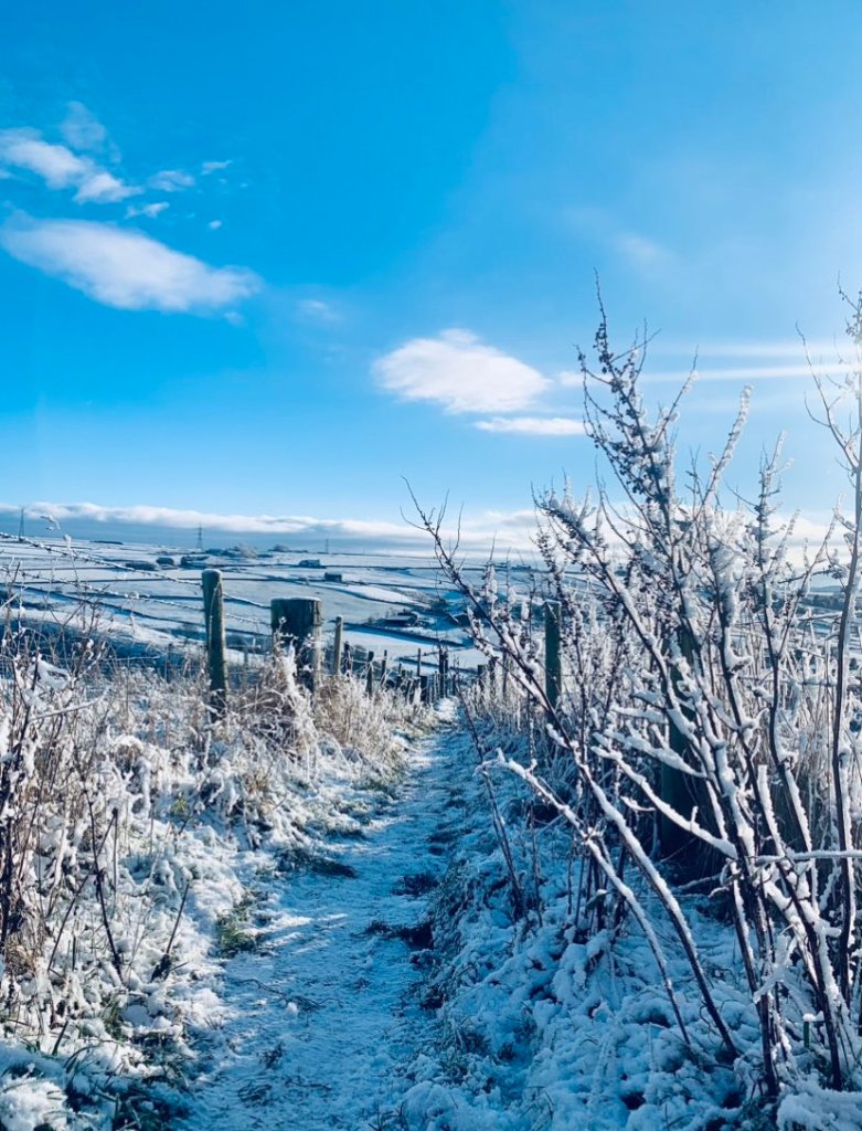
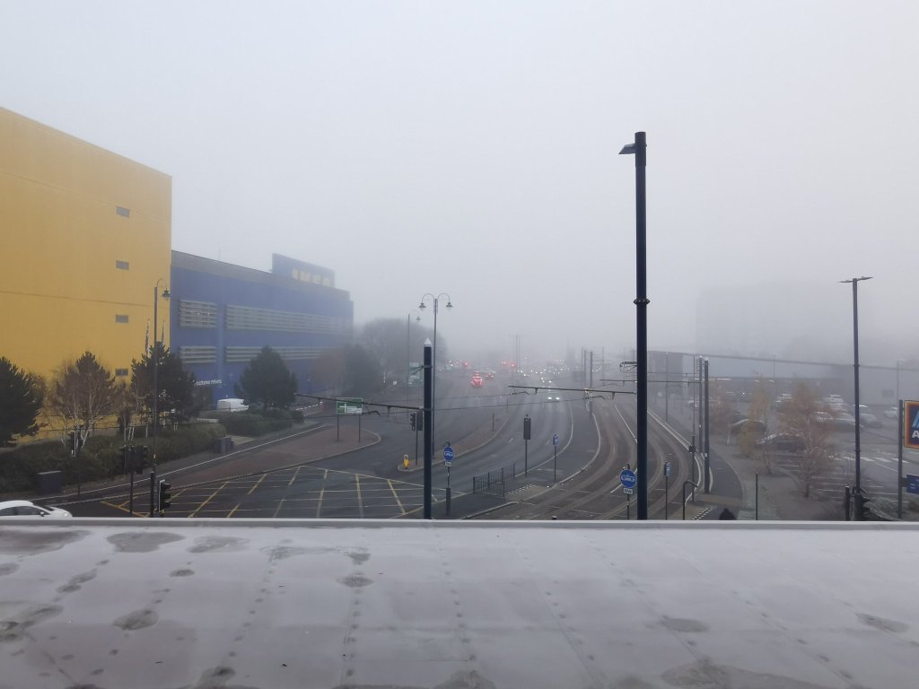
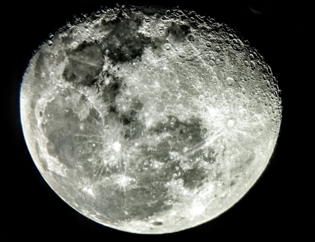
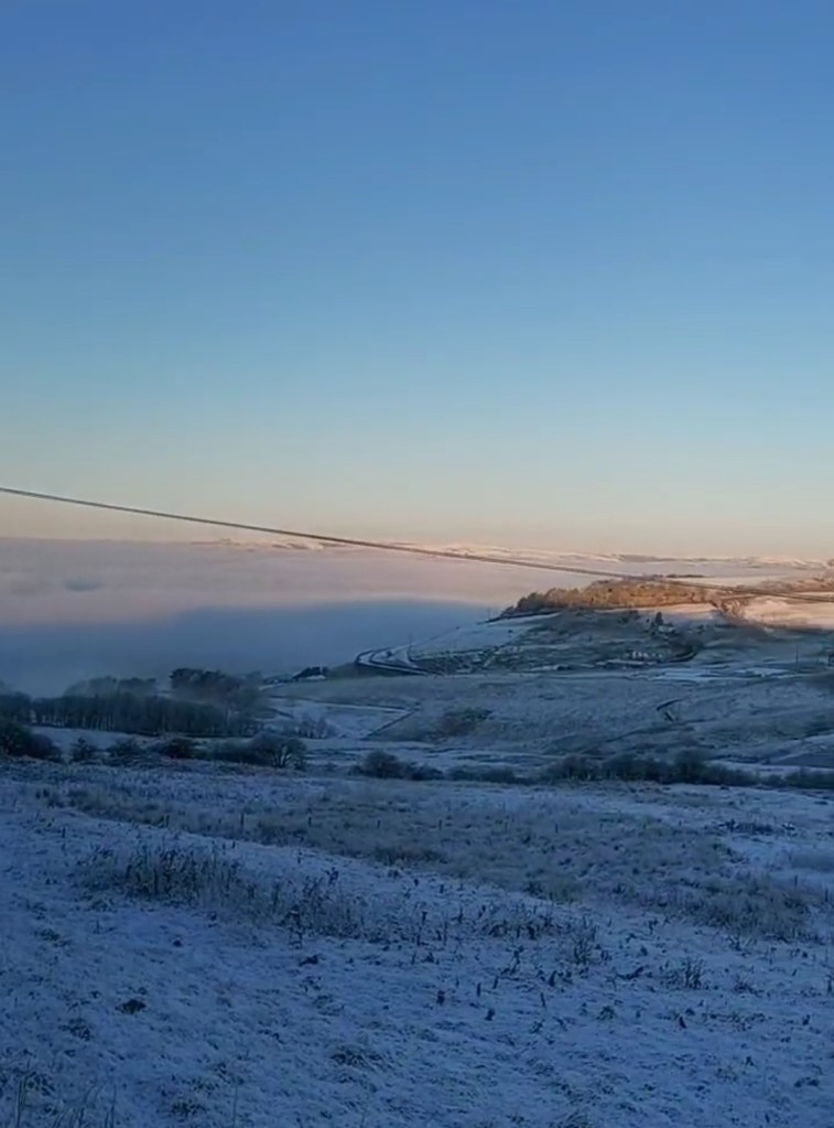
The Arctic weather has been stunning at times; crisp mornings with a severe frost, some snowfall, fog and beautiful blue skies by day, including inversions (I love them!). This has led to some gorgeous photos. Here’s a selection. Thanks to those who tweeted them in.
Temperatures touched as low as -20°C in Scotland, just outside Carrbridge and didn’t get above -12°C in some spots! Locally in NW England, we recorded a low of -10.5°C in Longridge, Preston, on one of the many unofficial but reliable weather stations on the network that we monitor.
Thursday: Another very cold start with temperatures, locally, down to -7°C once again. A stunning day, with blue skies. Make the most of it with change ahead. An ice-day in some spots. Sharp frost again overnight. Max 1°C Min -7°C
Friday: A frosty start with some clear skies but it is expected to become cloudier and even misty as the day goes on. Feeling very cold especially in the slight breeze later on. Chance of a sleet or snow shower. Not as cold overnight. Max 1°C Min -2°C
Weekend: The baltic spell ends. But not without some snow.
Saturday: Generally cloudy and feeling bitter with a strengthening southerly wind. A few wintry showers are possible especially to the west. Slightly less cold on the thermometer. Max 3°C Min 0°C
Sunday: An active weather system will swing in quickly from the south-west bringing much milder air and a spell of heavy rain. With this low pressure bumping into the cold air, we could see several hours of snow, especially on the hills before it turns to rain. As always it’s a marginal event. A few cms can’t be ruled out, but it will be a slushy mush by the evening as temperatures rise significantly. It will also be windy making it feel very chilly in the morning. Look out on Twitter for snow updates. Max 10°C Min 8°C
Outlook: Very mild on Monday with further rain or showers, locally 12°C, which will feel strange after the last two weeks. Low pressure will then move across the north of the UK and introduce a much-colder airflow once again (NW’ly) dropping maximums to 5-7°C leaving us with a week of wintry showers and bright spells. Remember we only need a wintry shower on Christmas Day for it to be officially a White Christmas. At this stage temperatures look favourable, 4°C. Watch this space. Overall December looks like it will be the only month in the year with below-average temperatures.
Thanks for reading as always. If you find this blog useful please tell others.
See you next week for the final blog before Christmas.
Jon
Forecast Issued: Wednesday the 14th of December 2022 at 7:50pm
Charts: http://www.netweather.tv & http://www.wxcharts.com
Blog Image: @kreacher37 on Twitter
