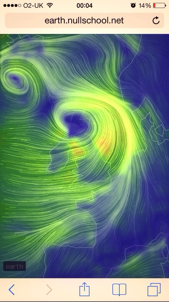
Thursday 9th January – Sunday 12th January

Hi All,

Happy New Year. Hope you had a great Christmas break.

So we are in January and still no sign of any snowfall but hopefully conditions will turn colder as we head towards mid-month. The signs are certainly showing colder conditions so fingers crossed.

Thursday will start will showery rain. Some heavy bursts. This will slowly ease during the day. Still mild but a chilly breeze. Highs of 8’C.

A chilly start on Friday. Maybe some ice and frost around. Bright skies replaced later on by cloud and rain from the west. However the rain should be patchy and light. Highs of 7’C.

Friday’s patchy rain will have eased by Saturday and we can expect a drier day with bright spells. Feeling a little colder, highs of 5’C.

Sunday also looks to be a bright day with drier conditions after a chilly frosty start. However, towards the evening we can expect rain to return from the south-west. Highs of 5’C.

December 2013 Stats: Warmest: 12.6’C; Coldest: 0.4’C; Wettest Day: 10.6mm; Windiest: 55mph; Total Rainfall: 70.4mm.

To keep up to date with your local weather follow, Jon, @ChadWeather on Twitter.

Cheers
Jon

Thursday 19th December – Sunday 22nd December

Hi,

Thursday will be a windy day but not as wet as Wednesday. Some wintry showers around, with possible hail and hill-snow but generally bright and breezy and feeling very cold. Highs of 5’C.

As we head into Friday we see another weather system heading our way. The day should be bright with the odd shower but rain and more strong winds is expected into the late evening. Highs of 7’C.

Still unsettled as we head into the weekend.

Saturday will see early rain clear followed by brighter weather with some showers. Windy especially at first. Some more organised rain possible overnight. Milder with highs at 9’C.

Sunday should be a day of bright spells with some well-scattered showers. Cooler once again and still remaining breezy. Highs of 6’C.

Outlook: Still no sign of any snowfall as we head toward the festivities. At the moment Christmas Day looks windy and feeling cold with some wintry showers.

I hope you all have a Merry Christmas.

To keep up to date with your local weather, follow Jon, @ChadWeather on Twitter.

Cheers
Jon

Thursday 12th December – Sunday 15th December

Hi,

Well we are currently stuck in a pattern of mild weather with quite a lot of cloud around and no sign of anything colder with snow yet.

Thursday will be a generally cloudy and mild. Rain will slowly spread south-east throughout the day. Breezy too. Highs of 10’C.

Friday sees another cloudy day and mild. There will be outbreaks of rain on and off and it will be windy. Highs of 10’C.

Saturday will see a greater chance of sunny spells and it will be a little cooler than previous days. Rain and wind likely later into the evening/overnight. Highs of 7’C.

Sunday looks cloudy and wet with some early rain then becoming brighter but with some showers and still windy. Milder again. Highs of 9’C.

The outlook shows temperatures around normal but with more unsettled weather likely as weather from the Atlantic dominates.

Keep up to date with your local weather by following Jon, @ChadWeather, on Twitter.

Cheers
Jon

Friday 6th December – Tuesday 10th December

Hi all,

We’ve had a couple of wild and cold days but it’s all set to settle down again and become milder.

Friday will feel cold in the north-westerly wind but a lot calmer than Thursday. Apart from a very isolated wintry shower it will be generally dry with bright spells in the morning. Some light rain likely later. Highs of 4’C.

The weekend sees the weather return to a quieter theme with temperatures beginning to recover.

Saturday will feel less cold than Friday but more extensive cloud possible during the morning with some light and patchy rain. The afternoon should be a little better with some bright spells. Highs of 6’C.

Sunday looks generally cloudy with limited brightness. Some light rain or drizzle likely especially later on. Feeling milder with highs of 8’C.

Monday and Tuesday both look dry with quite a lot of cloud around, mainly on Monday but bright spells should eventually appear and become more widespread by Tuesday. It will be feeling quite mild for the time of year with highs even reaching 10’C by Tuesday.

November 2013 Stats: Warmest: 11.9’C; Coldest: -2.1’C; Wettest Day: 18.2mm; Windiest: 44mph; Total Rainfall: 66.4mm.

To keep up to date with your local weather, follow Jon, @ChadWeather on Twitter.

Cheers
Jon

Quick Update for Next Week

NEXT WEEK’S WEATHER

Monday: Cloudy and dry. Reasonably mild still. 8’C

Tuesday: Similar. Cloudy and dry but expecting light rain into the evening. Mild. 8’C

Wednesday: Light rain slowly spreads through the region. Cooler later. 7’C

Thursday: The change begins. Windy especially as the day goes on. Rain, heavy at times spreading south. Much colder air digs in and there is a chance the rain could turn to snow, especially on the higher ground but even to lower levels later. Icy and snow showers overnight giving a covering in places. 5’C

Friday: Bitterly cold with a keen strong northerly wind which will give a significant wind-chill. Some snow showers are expected which maybe heavy at times. These should ease away to our west later. 2’C but feeling like -5’C. Frosty and icy overnight.

Saturday: Sunny spells but still very cold. Winds easing so less of a wind-chill but a frosty start and evening. Odd isolated snow shower still possible. 4’C

Sunday-Monday: Dry with bright spells and starting to get milder again. 5-6’C

Thursday 28th November – Sunday 1st December

Hi,

As we end November we will see a cold and windy day on Friday but generally some milder days ahead.

Thursday will continue the recent theme of mainly cloudy weather with occassional drizzle or light rain likely and with fog on the hills. Mild like Wednesday with highs around 9’C.

Friday sees a brief change. Some rain will quickly pass through the region in the early hours followed by colder, showery conditions with a keen strong north or northwesterly wind. Some hail likely. Highs of 7’C and feeling cold in the wind.

The weekend looks generally quiet and dry with Saturday possibly the better day.

Saturday should see lighter winds and less showers than Friday. A day of bright spells across the region with any early showers easing away. Highs of 6’C.

Sunday after a possible bright start, will then be a cloudier day than Saturday. Apart from a risk of drizzle it should remain dry. Feeling milder again. Highs of 8’C.

As we head into December we remain with average temperatures but the computer models point towards a cold spell around the 6-7th of December. A long way off but something to keep my eye on.

To keep up to date with your local weather, follow Jon, @ChadWeather on Twitter.

Cheers
Jon

Thursday 14th November – Sunday 17th November

Hi,

We are now in mid-November and it looks like next week will see us feel the first chill of the approaching winter.

Thursday will be a windy day making it feel cold with a strong northwesterly across the region. Showers expected in the morning, easing away later. Highs of 8’C.

Friday will again be breezy and feeling cold after a chilly start. However, apart from a low shower risk early on it will be mainly dry with some bright spells in most areas. Highs of 9’C.

The weekend will feel a little milder.

Saturday could dawn a little misty or foggy then the day looks generally cloudy with the odd bright spell. Maybe patchy rain later on. Highs of 10’C.

Sunday will see any patchy rain clear through from the north and a cooler northwesterly wind will bring some brighter conditions. Highs of 9’C

Next week it turns colder, especially into Tuesday & Wednesday with northerly winds, overnight frosts and some wintry showers possible.

Some of the press are basically predicting a mini iceage (snigger). It will not be anything but a normal mid- to late-November cold snap that will bring frosts, snow showers to the our hills and some wintry showers to lower levels. So do not panic. We are looking at daytime temperatures of 4-5’C. So not exactly in the freezer!!

To keep up to date with your local weather, follow @ChadWeather on Twitter.

Cheers
Jon

Thursday 31st October – Sunday 3rd November

Hi,

Luckily we escaped the storm earlier this week but looking at this weekend it looks like we will be getting our fair share of very windy weather which has the potential to be stormy.

Thursday will see the cool theme continue with bright spells and showers. Some heavy with hail and thunder. A brisk south-westerly wind with highs of 11’C

Friday looks set to start with less showers and a little calmer but still cool. However it looks cloudier later with a threat of rain spreading in. Highs of 12’C.

The weekend sees a return to wet and very windy weather, spreading in from the Atlantic so unsettled and feeling cold on both days.

Expecting a day of rain at times on Saturday, clearing later to showers. Windier than the last few days and highs of 10’C.

Sunday will be windy or even very windy, with gales in parts and especially gusty in the frequent, heavy showers. Hail and thunder possible again. Highs of 10’C.

Next week looks to remain unsettled with showers or spells of rain at times with temperatures around normal after possibly a cold Monday and bonfire night.

To keep up to date with your local weather, follow Jon, @ChadWeather on Twitter.

Cheers
Jon

Thursday 24th October – Sunday 27th October

Hi,

We are still in a pattern of unsettled weather and that looks set to stay until the end of October. Also there is something to keep our eye on for the start of next week.

Thursday will be a much better day than Wednesday. After a cold, misty and maybe foggy start the morning will be bright with sunny spells. More cloud as the day progresses but remaining dry. A little cooler and less windy. Highs of 13’C.

Cloud and the breeze will increase overnight and a wet Friday looks on the cards, especially in the morning with periods of rain and it will be windy. A bit brighter into the afternoon with some showers but still gusty and feeling a little milder. Highs of 15’C.

As we enter the weekend low pressure will remain in charge influencing the weather.

Saturday will be a showery with occassional bright spells. Some of the showers will be heavy. Cooler with westerly winds. Highs of 14’C.

Sunday sees the showers hanging around but quite scattered as the day goes on and they should die away later into the afternoon. Cool and breezy, with cloud thickening into the evening with rain later. Highs of 14’C.

There is a deep area of low pressure set to cross the UK Sunday night into Monday with high winds and a lot of rain. The location of this low is still not certain but areas could see 55-70mph winds. At the moment the Southern half of the UK looks most at risk but things could change. To keep up to date on this “storm” and your local weather, follow Jon, @ChadWeather on Twitter.

Cheers
Jon

Thursday 10th October – Sunday 13th October

Hi,

Finally the above average temperatures and very mild feel to October has left us as we feel our first autumn chill.

Thursday will be a brighter day than Wednesday with sunny spells and just maybe the odd shower around. Despite the brightness it will be feeling cold especially in the strong north to north-easterly winds. Highs of only 10’C and cold overnight with a touch of ground frost in places.

Friday will start cold after probably the coldest night for over 4 months but the day should be dry with bright spells. Still feeling cold with a north-easterly breeze and just maybe a rogue shower to the east. Another cold night to follow. Highs of 11’C.

The weekend does promise to be mainly dry but increasingly cloudy and still with a keen wind making it feel cold.

Saturday dawns chilly and some sheltered parts may see some early mist or fog patches then a day of bright spells follows and generally dry across the region but possibly more cloudy later on. Highs of 12’C.

Sunday should be similar to Saturday but there is a chance that eastern areas are more cloudy with a threat of showery rain. Otherwise, bright spells, dry and feeling cold. Highs of 12’C.

Next week looks to remain cool with bright spells.

September 2013 Stats: Warmest: 23.8’C; Coldest: 6.3’C; Wettest Day: 14.6mm; Windiest: 39mph; Total Rainfall: 46.2mm.

To keep up to date with your local weather, follow me, @ChadWeather on Twitter.

Cheers
Jon