Hi all,
The final winter month has arrived and still we wait for a proper cold spell which are becoming few and far between these days. January did have a few sunny days but equally overcast days with little eventful weather after a wet start.
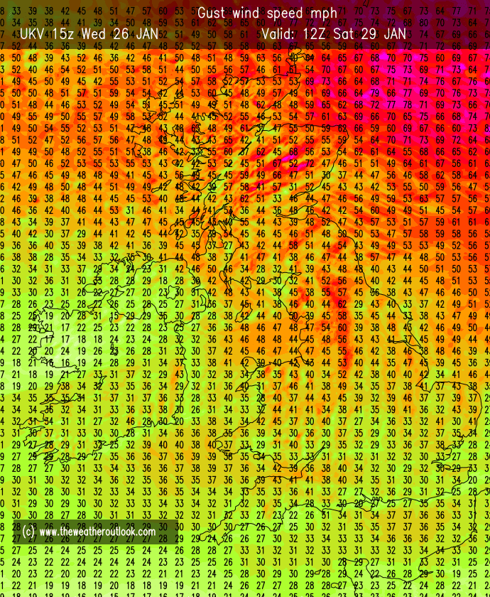
We did manage to close out the month with a couple of named-storms but we missed the carnage which was mostly felt to our north and north-east where gusts of 80-90mph were recorded away from elevation.
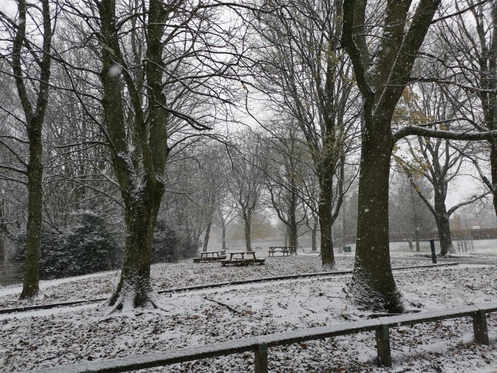
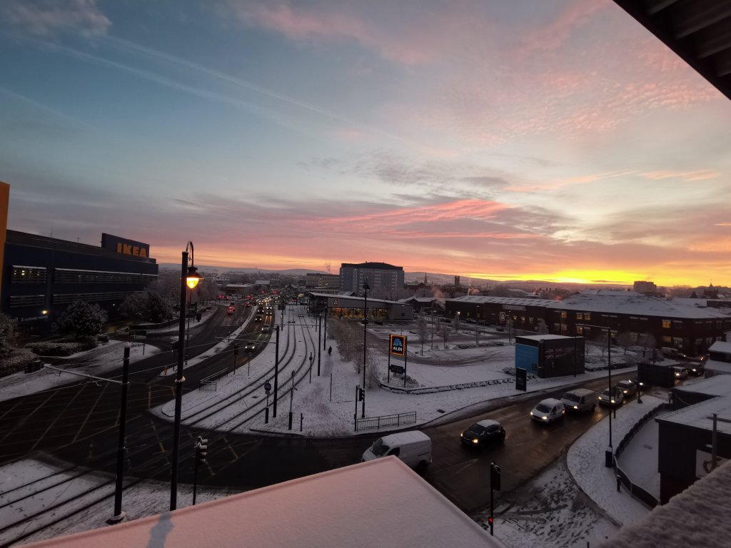
As mentioned it was a wet start and also a wet final few days but overall we only saw 43% of the average rainfall last month. So as well as drier-than-average and it was milder with a lack of very cold spells and snowfall. What will February bring? Long-range models suggest drier-than-average again, although this is borderline with plenty of rain on the cards just to our northwest. Fine margins.
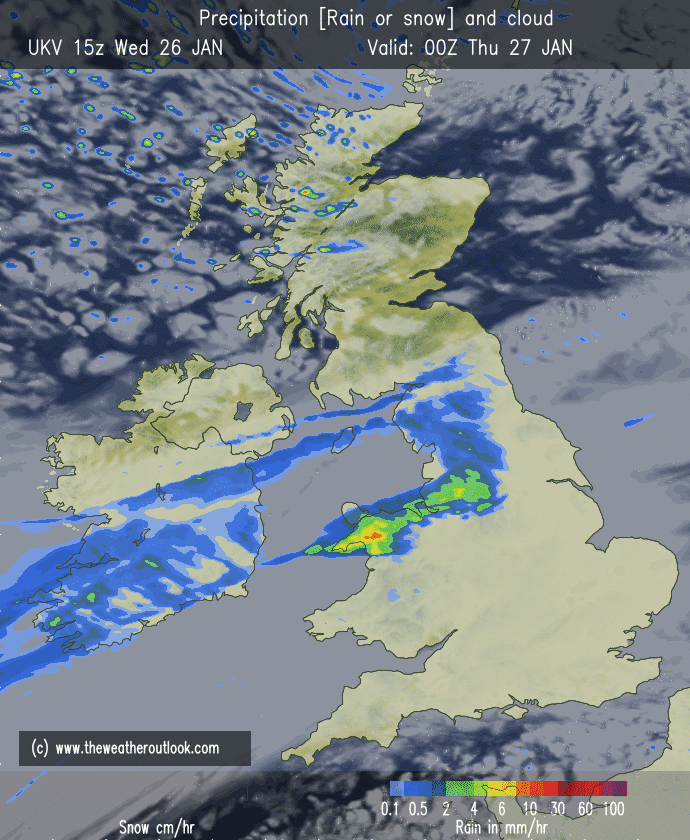
Thursday: Mostly cloudy with some patchy rain during the morning. A few bright spells later and windy with 35mph gusts. Again, very mild for the time of year but change arrives overnight with a squally cold-front passing through the region during the early hours. Max 10°C
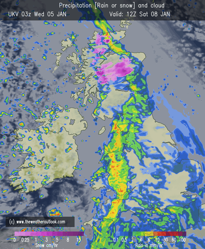
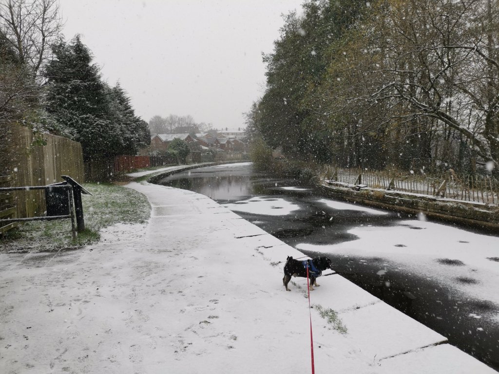
Friday: A weather-front earlier in the night will bring a much colder polar airflow with sunny spells and wintry showers with some sleet and snow. Expect hail and a chance of thunder and lightning. Feeling cold in a strong, gusty and biting wind. Max 5°C
Weekend: Milder once again.
Saturday: Slowly becoming milder and generally overcast with some patchy rain or drizzle. Max 8°C
Sunday: Heavy rain early followed by a few showers. Windy with 35-40mph gusts but remaining mild. Max 9°C
Outlook: High pressure close to the south of the UK, slipping a little further east, and rain-bearing fronts to the north-west means we will be sandwiched in the middle. Mostly cloudy days, staying mild for most with the threat of rain now and again. Chance it turns even milder later. The search for a decent cold spell continues. Snow at Easter no doubt.
Follow @ChadWeather on Twitter for the latest forecasts and weather warnings.
January 2022 Stats
Max 13.6°C (1st)
Min -2.1°C (6th)
Av. 4.6°C
Wettest 11.2mm (8th)
Av. Humidity 88%
Av. Barometer 1024.8 hPa
Max Gust 41.4mph (31st)
Av. Wind Direction WSW
Rain 44.8mm (43% of average)
Rain Registered Days 18
Dry Days 13
Air Frosts 6
Snow Falling Days 5
Thanks,
Jon
Forecast Issued: Wednesday the 2nd of February 2022 at 6:55pm.
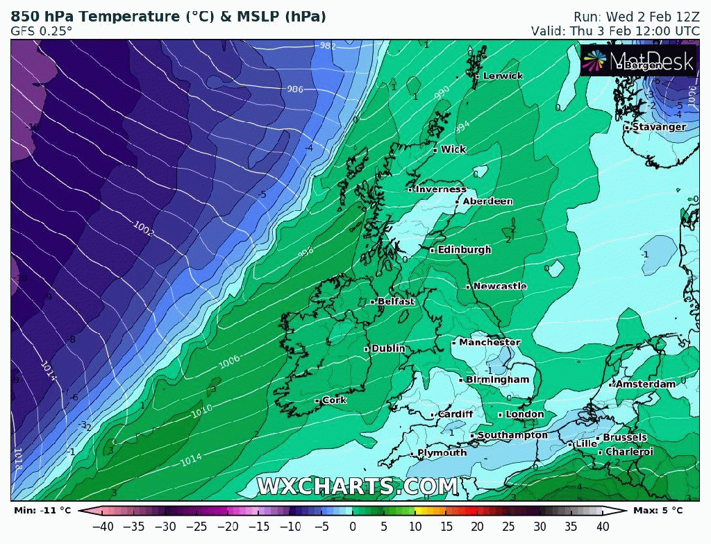
Image: http://www.wxcharts.com