Hi all,
July ended disappointingly and August isn’t behaving itself either. Fingers crossed on summer returning for the last week of August. I have high hopes……
Thursday: Not a bad day at all. Dry with warm sunny spells, light winds and fair-weather cloud bubbling up. Max 19°C
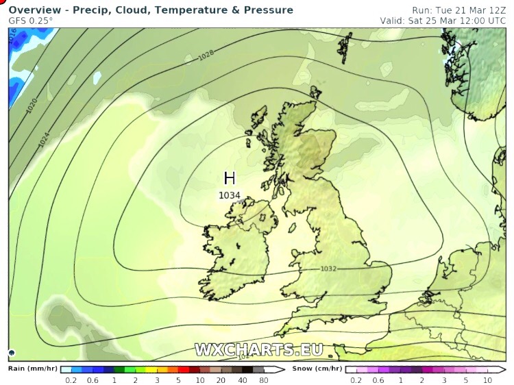
Friday: The ridge of high pressure that was around for the last 36 hours, drifts away and showery rain will push down from the northwest as the day progresses. Max 17°C
Weekend: Decent enough
Saturday: Yesterday’s rain clearing to a day of sunshine and just the chance of a shower. Again, temperatures nothing to cheer about on paper, but pleasant in any lengthy spells of brightness. Max 17°C
Sunday: Not much change. A few showers possible but most places dry with bright or sunny spells. Max 17°C
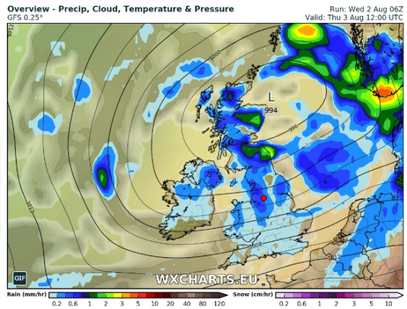
Outlook: Unfortunately no good news. The Jet Stream pretty much stays where it is, across the UK, so expect spells of showers or bands of rain with drier, brighter slots in between. With this set-up, little change in temperature. Roll on the last week of August….
Follow @ChadWeather on Twitter for the very latest local forecasts.
Thanks,
Jon
Forecast Issued at 12:30pm on the 9th of August 2017