Waiting for Petrichor – Thursday 28th April 2022 – Bank Holiday Monday 2nd May 2022

Hi all,

The wait for significant rain continues and with everywhere drying up rapidly, after a drier-than-average 6 weeks, there will be petrichor in the air once the rain returns.

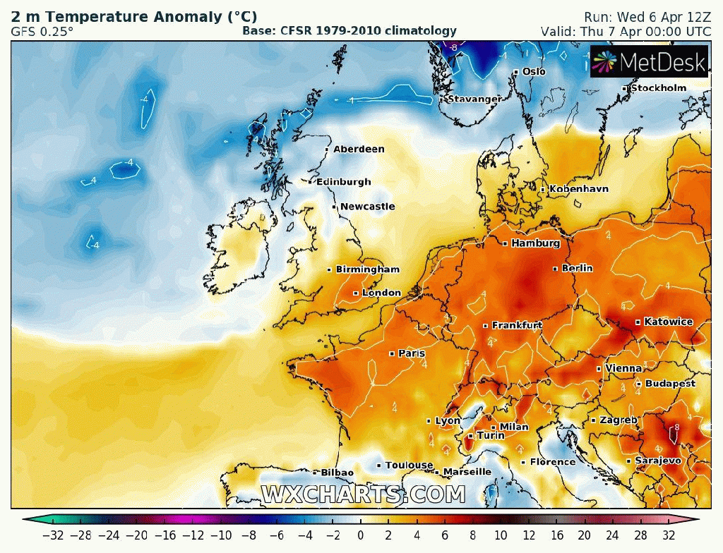
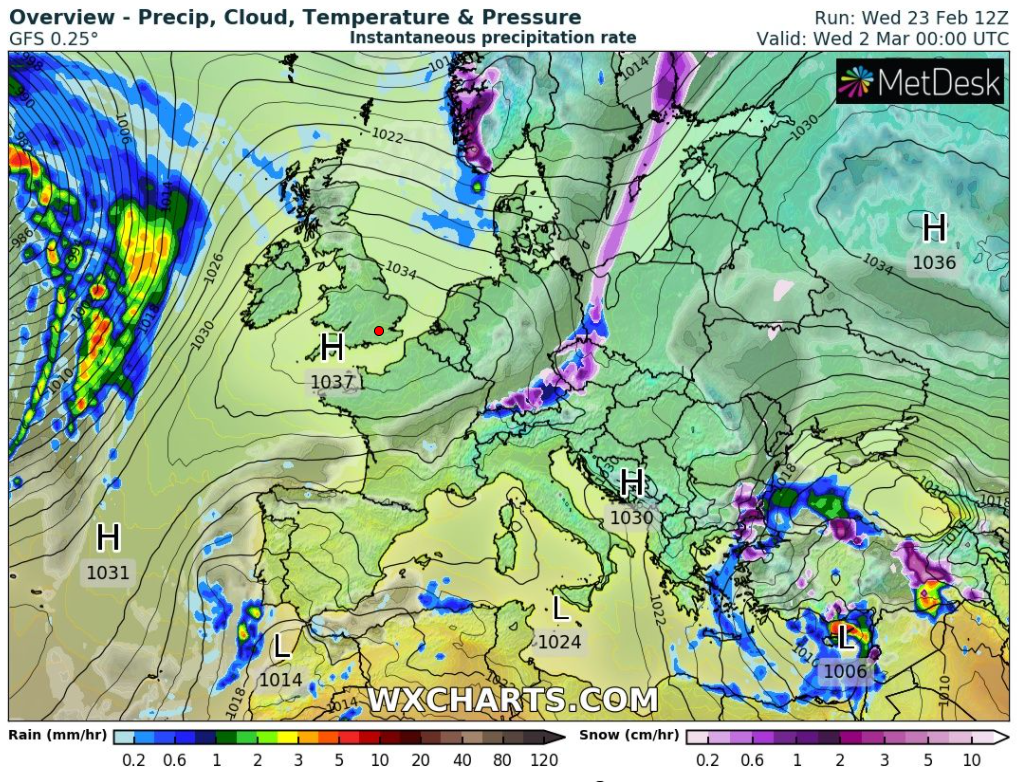
At this stage, it looks like high pressure will mostly dominate our weather pattern for the foreseeable. High pressure can mean warm and sunny but like recent weeks, we will see cloud amounts variable and with a cooling trend into the new month.

Thursday: A chilly start with some ground-frost and localised mist. Sunny spells for the morning but cloud will tend to increase during the day. Dry with generally light winds. Max 13°C

Friday: Little change although it’s not expected to be as cold of a start. Sunny spells followed by cloudier spells. Max 14°C

High pressure mostly dominating the weather; now, next week and beyond.

Weekend: A little warmer on Saturday.

Saturday: Sunny spells here and there and temperatures lifting a little. Max 16°C

Sunday: Cloudy to start, with perhaps a very localised shower early on. Sunny spells breaking through. Dry with light winds. Max 14°C

Bank Holiday Monday: Mostly cloudy with some bright spells. Temperatures still a little disappointing but plenty of dry conditions. Max 14°C

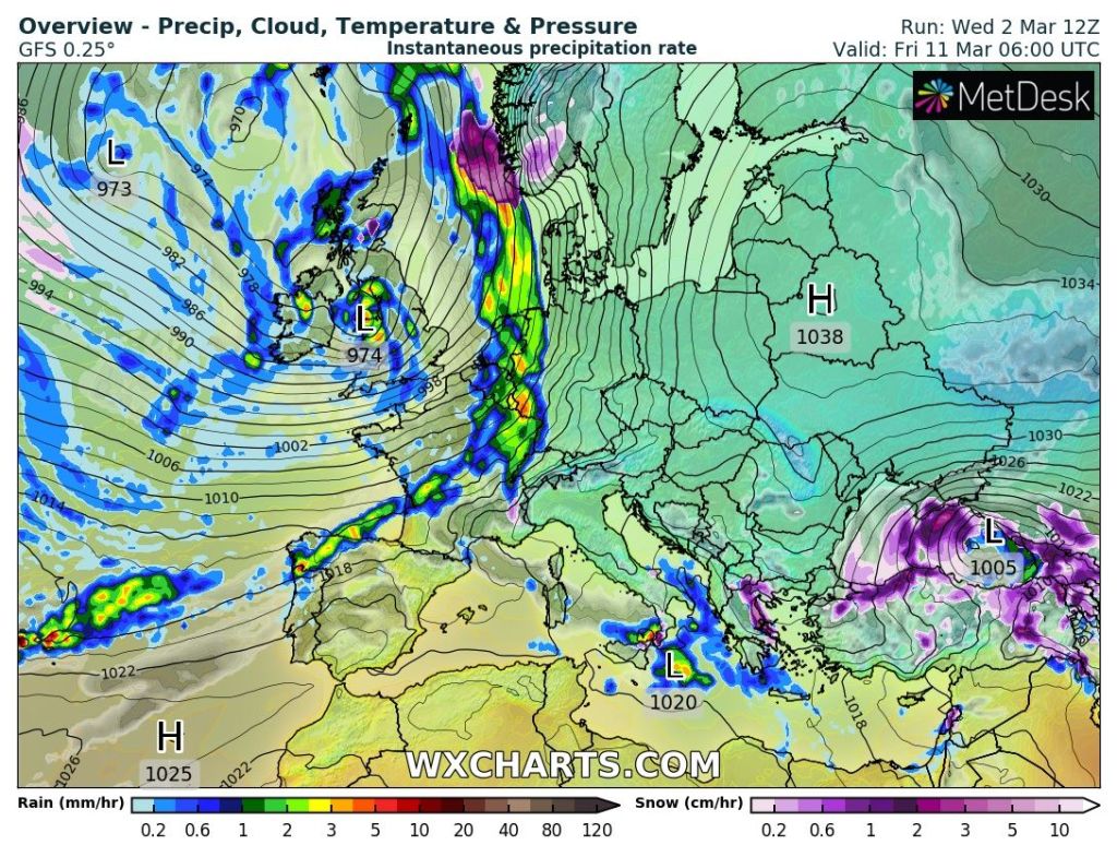
Outlook: A new area of high pressure will slip down from the north bringing slightly cooler air, even with a risk of overnight ground-frosts. Lots of dry weather but again not guaranteed sunshine as cloud spills in from the north or northeast. No sign of the Atlantic-driven weather pattern returning, so wind and any significant rain still being held at bay.

Follow @ChadWeather on Twitter for the latest forecasts and warnings.

Thanks,
Jon

Forecast Issued: Wednesday the 27th of April 2022 at 5:55pm.
Image: http://www.wxcharts.com

Windy but plenty of dry weather – Thursday 21st April 2022 – Sunday 24th April 2022

Hi all,

I hope you enjoyed the Easter weather which remained mostly dry and quite warm with pleasant sunny spells. The sun is gaining strength day-by-day and even when temperatures are below average it can still feel warm in any sunshine. UV levels are now over 4 and at the high-end of medium, so don’t forget your sun-cream when out and about for a couple of hours. Don’t forget, getting sunburnt is nothing to do with the temperature on the thermometer.

We’ve only had 32mm of rain so far this April and with the way it’s looking, there’s not much rainfall to come over the remainder of the month. So it looks like it’s going to be another very dry month, after March’s 21mm. January (45mm) was also dry with the soggy February (187mm) sandwiched in between.

Thursday: A decent sunny day with some cloud bubbling up in southern parts into the afternoon. A keen easterly wind developing and becoming strong but temperatures remaining pleasant enough. Max 16°C

Friday: We have high pressure to our north and northeast in charge of the weather, meaning a lot of dry weather with bright spells developing after a cloudy start (localised shower). Isobars will be closely-packed together meaning it will be a very windy and gusty day. Values of 40mph can’t be ruled out. Max 13°C

High pressure to the N/NE and low pressure to the S. Tightly-packed isobars in between means a gusty, easterly wind coming down off the hills; 35-40mph gusts likely.

Weekend: Gusty conditions.

Saturday: A mostly cloudy day with a few bright spells around especially in the west. Again it will be windy, 35-40mph gusts, making it feel chilly. Chance of an isolated shower early on. Max 12°C

Sunday: Remaining windy but hopefully not as annoying as the last few days and more in the way of sunny spells developing meaning it will feel a little warmer. Dry. Max 14°C

Outlook: At this stage it looks to remain similar to what we currently have although winds will ease by Tuesday. Plenty of dry weather but often cloudy and cooler-than-average. If the Jet Stream kicks back into its Atlantic-driven mode then rain and wind would return but this looks unlikely. Keep watering those gardens!

This graphic shows the total rainfall expected between now and the 1st of May. Unless we see a turnaround in the forecast, we will see very little rainfall during the rest of April.

Follow @ChadWeather on Twitter for the latest forecasts and warnings.

Thanks,
Jon

Forecast Issued: Wednesday the 20th of April 2022 at 5pm
Images: http://www.wxcharts.com

Warm doesn’t necessarily mean sunny – Thursday 14th April 2022 – Bank Holiday Monday 18th April 2022

Hi all,

The Easter weekend is lurking and most of you will be wondering what the weather has in store. The good news is, high pressure is set to build briefly and its position means we will be sitting in a relatively warm air mass but it looks like we will be importing a lot of cloud, especially to start days. With light winds early mist/low-cloud could be stubborn too.

Thursday: A cloudy start with some localised mist or fog. Hazy sunny spells developing and feeling quite warm. During the afternoon just the outside chance of a shower. Max 16°C

Good Friday: Misty morning with cloud eventually breaking up leading to some warm bright spells. Localised shower/downpour can’t be ruled out. Max 17°C

Saturday: Looks like more in the way of sunshine developing, again after a cloudy start. Warm in any sun. Max 18°C

Easter Sunday: Little change with conditions similar to Saturday for most of the day but signs of some showery activity into the afternoon/evening. Max 16°C

Bank Holiday Monday: Mostly cloudy with some brighter slots and feeling pleasant once again in any sunshine but looking cooler than recently. Max 14°C

Rest of next week: Plenty of dry weather and cloud early on with some bright spells and temperatures eventually slipping back to the mid-teens or just below. Likely to turn unsettled from midweek with some spells of showery rain although not amounting to too much.

Follow @ChadWeather on Twitter for the latest forecasts and warnings.

Thanks,
Jon

Forecast Issued: Wednesday the 13th of April 2022 at 9:15pm

Another cold snap then warmer – Thursday 7th April 2022 – Sunday 10th April 2022

Hi all,

March’s stats are in and it was a very dry month overall with 6-times less rainfall than February and with a decent spell of dry and sunny weather. In fact we went 13 days without rain and enjoyed temperatures close to 20°C and blue skies. I miss those days.

Thursday: Much colder air has now arrived from the North after a windy night. Early rain then it will be a day of blustery, wintry showers with some hail, sleet and hill-snow. Feeling cold throughout. Max 8°C

Friday: A frosty start with plenty of sunshine. Clouds bubbling up with wintry showers breaking out again. Breezy but not as windy or as cold as Thursday. Max 10°C

Colder than average over the next 4 days.

Weekend: A better Saturday than Sunday.

Saturday: A frost to start then a decent day with sunny spells and a fresh breeze but not as windy as recently. Clouding over by evening which could lead to a nice sunset. Max 10°C

Sunday: Cloudy with a change to a southwesterly airflow bringing some localised drizzle or patchy rain. Winds picking up. No frost as milder air pushes in. Max 11°C

Outlook: Warmer overall with temperatures into the mid-teens and feeling pleasant in any sunshine. Sunny spells expected during the week but occasionally cloudier conditions with a few showers also on the cards. Breezy at times but with no frosts or cold spell likely. 

March 2022 Stats

Max 18.6°C (25th)
Min -0.7°C (7th)
Av. 7.9°C
Wettest 4.4mm (3rd)
Av. Humidity 75%
Av. Barometer 1023.2 hPa
Max Gust 33.4mph
Av. Wind Direction SE
Rain 20.8mm (well below average)
Rain Registered Days 11
Dry Days 20
Air Frosts 2
Snow Falling Days 2

Follow @ChadWeather on Twitter for the latest forecasts and warnings.

Thanks,

Jon

Forecast Issued: Wednesday the 6th of April 2022 at 8:30pm

Temperatures recovering after winter bites back – Thursday 31st March 2022 – Sunday 3rd April 2022

Hi all,

It certainly feels like winter has returned out there today, as Arctic air plunges down across the region bringing cold-rain, sleet and some hill-snow. From 18°C a week ago to just 3.6°C at lunchtime today. Ouch.

3pm temperatures each day since last Wednesday – big change today

It’s not unusual to get a cold-snap at this time of the year, as late-March can be a fickle period of weather. The warmth and blue skies, albeit it hazy with pollution, were amazing but all good things have to end eventually, you just have to make the most of these pleasant spells, especially in the UK.

Thursday: A frosty and icy start with sunny spells developing. Wintry showers will feed in from the northeast during the day with fewer showers the further west you are. Showers will be of rain, sleet, hail and snow There will be a strong and gusty wind leading to a biting wind-chill. Max 7°C

Wintry showers could lead to a slight covering of snow in places, mostly the hills during Thursday.

Friday: Again a frosty start then not a bad day with sunny spells and fewer wintry showers. The sun is gaining strength now so out of the breeze in shelter it won’t feel too bad despite the temperature. Max 7°C

Weekend: Less in the way of sunshine

Saturday: Cloud will spread down from the northwest bringing a few showers. Feeling cool with all the cloud during the morning but hopefully some brighter spells into the afternoon. Max 8°C

Sunday: Bright spells and a few showers. Tending to be a little drier into the afternoon with sunny spells developing. Max 9°C

Outlook: A westerly airflow will return bringing low pressure to the northwest of the UK. We will see some showery rain at times, but not a lot of rainfall is expected over the week. Temperatures will return to normal and the night-frosts will end.

Follow @ChadWeather on Twitter for the latest forecasts and warnings.

Thanks,
Jon

Forecast Issued: Wednesday the 30th of March 2022 at 5:07pm.
Image: http://www.theweatheroutlook.com

Enjoy the warmth before the temperature plummets – Thursday 24th March 2022 – Sunday 27th March 2022

Hi all,

What a superb spell of early-Spring weather we are experiencing and you need to fill your boots. Temperatures into the late-teens and plenty of sunny periods, but hazy due to the high pollution levels.

Everywhere is now beginning to dry out fast and after giving my garden its annual winter-is-over declutter, it was clear to see that it actually might need watering soon. With little rain on the horizon, it means after a soggy February, it will have been a very dry March.

Growers beware, temperatures are set to drop to below average values next week, a real shock for our gardens and plants after the warmth of this week.

UV levels are now creeping up and are around medium for a couple of hours at lunchtime. No sun-cream really needed yet, unless you’re out in it for several hours non-stop, late-morning to early-afternoon.

Thursday: Another cracking day. Warm to very warm for the time of year with widespread sunny spells. Some fair-weather cloud around. Light winds. Max 18°C

Friday: Continuing warm and sunny. Some cloud bubbling up into the day. Light winds. Max 18°C

Weekend: Grab that sunshine and make the most of it.

Saturday: Further sunny spells and warm with it too. Any morning-cloud burning off. Dry. Max 17°C

Sunday: Sunny spells but temperatures likely to be a notch or two lower. Max 15°C

Outlook: The high pressure that has dominated our weather will shift west and that move in location will allow more in the way of cloud to arrive. More importantly we will introduce a north-to-northeasterly airflow and at this time of the year that is still a very cold direction. Some of the air will be sourced from the Arctic. A lot of dry weather is still expected with the odd shower drifting in from the northeast. No snow expected, this will fall in the Scottish mountains though. By midweek we will see some ground-frosts return and daytime temperatures struggling to 7-9°C, a big change from this week.

Warmer than average this week to colder than average next week. Don’t put the big coats away just yet.

Follow @ChadWeather on Twitter for the latest forecasts and warnings.

Thanks,
Jon

Forecast Issued: Wednesday the 23rd of March 2022 at 9:13pm
Image: (chart) http://www.wxcharts.com

Welcome Spring Sunshine albeit Breezy – Thursday 17th March 2022 – Sunday 20th March 2022

Hi all,

Spring is here and the weather is finally responding. After an awful February, March is much drier (only 16mm so far) and we can now look forward to a drier, warmer and sunnier spell of weather.

Not quite our first 20°C of the year but it will feel very pleasant indeed over the coming days. Nights will be chilly with local ground-frosts and patchy fog. UV levels are approaching medium meaning you will begin to catch the sun’s rays if you’re out in it for a few hours. It won’t be long before you’re digging out the sun-cream.

A frosty start to Thursday.

Thursday: A cold start with a frost and patchy mist. Sunny spells for the morning then cloud will arrive into the afternoon with some scattered showers into the evening. Max 12°C

Friday: High pressure continues to build across the UK so a lovely day in prospect with plenty of sunshine after a chilly/frosty and in places foggy start. Some of the fog might be stubborn to clear and lift into low-cloud for a time. It will begin to feel warm in the sunshine. Max 14°C

Weekend: I normally say more rain but this time more sun. The only downside is that the breeze will pick up during the daytime which could become a little gusty.

High pressure in control for the weekend bringing the warmest day of the year so far, plenty of sunshine but quite a breeze too.

Saturday: Lots of pleasant Spring sunshine as we see the warmest day of the year so far. Max 16°C

Pleasant Saturday afternoon temperatures. Of course these are measured in the shade so feeling much warmer in the sunshine.

Sunday: Feeling warm under sunny skies. Just the chance of some cloud in the east later. Max 15°C

Outlook: The settled weather looks set to continue with high pressure mostly in charge. Just one hiccup could be a few showers on Monday afternoon. Lots of warm sunny spells and dry conditions with temperatures into the mid-teens. An easterly or southeasterly breeze could pick up later in the week pegging the temperatures back a little and dragging in some cloud at times from the North Sea but this all depends on the location of the high pressure.

The final weekend of March also looks fine and settled.

Follow @ChadWeather on Twitter for the latest forecasts and warnings.

Thanks.
Jon

Forecast Issued: Wednesday the 16th of March 2022 at 5:25pm
Images: http://www.wxcharts.com & http://www.theweatheroutlook.com

Some rain, mild and windy – Thursday 10th March 2022 – Sunday 13th March 2022

Hi all,

Temperatures are beginning to creep up but it’s hard to notice the change as we’ve had low pressure to our west and high pressure to our east battling it out, leading to a strong and gusty wind. Media reports were at it again this week, forecasting snow but there’s certainly none of that on the way.

Thursday: Breezy and mild with some bright spells here and there, best in the west. Chance of the odd rogue shower especially towards evening. A very mild night. Max 12°C

Friday: A mostly dry morning then bands of showery rain moving in. Windy, gusting 30-35mph, especially so later during hefty showers, perhaps thundery with hail. Max 12°C

Weekend: Some rain but bright spells at times.

Saturday: Sunny spells and few showers. Again, like most of the week, it will be windy. Max 12°C

Sunday: A little bit cooler and still windy with bright spells and showers at times which could be beefy. Max 10°C

Outlook: High pressure looks set to cut off the weather-fronts so a lot of dry weather with sunny spells with rain-bearing fronts staying away to the far north-west and south. Very mild early on, perhaps close to the mid-teens midweek. Some cool nights where skies clear with some patchy ground-frosts and mist and fog; more so later in the week.

Any weather-fronts next week weaken as high pressure squeezes from the SW and E.

Follow @ChadWeather on Twitter for the latest forecasts and weather warnings.

Thanks,
Jon

Forecast Issued: Wednesday the 9th of March 2022 at 6:55pm
Image: http://www.wxcharts.com

Meteorological Spring is here – Thursday 3rd March 2022 – Sunday 6th March 2022

Hi all,

I promised better conditions and in truth we’ve had some gloriously sunny days (Sunday and Tuesday) but we’re back into a cloudy and damp pattern at the moment and it’s certainly not as nice as I expected it to be. It had to improve though, I mean we had 3 named-storms in a week and a soggy February delivered a well-above-average rainfall stat of 187mm.

Winter ends with no proper cold or a taste of The Beast from the East. For cold-lovers it’s been another let-down. The set-up going into next week is quite interesting as low pressure out west looks set to battle with an established area of high pressure across eastern Europe.

Thursday: A cloudy day with the clouds thickening during the morning as rain pushes in from the west gradually. The afternoon will see further pulses of rain, occasionally heavy at times. Mild but breezy. Max 9°C

Friday: Morning drizzle or light rain will tend to ease and the day will remain cloudy but drier as it progresses. Lighter winds. Max 8°C

Weekend: Weakening weather-front.

Saturday: High pressure begins to build across the UK. Mostly cloudy with a weakening weather-front close to our east, which might produce some light rain or drizzle at times. Any sunshine to the west or north-west. Max 7°C

Sunday: Settled with mostly cloudy skies to start but sunny spells are expected to develop here and there especially to the west. A freshening breeze. Max 8°C

A massive high across eastern Europe keeps very cold air away from our shores

Outlook: Generally bright and mostly dry (chance of a few wintry showers on Tuesday) with a huge area of high pressure to our east introducing a chilly and gusty south-southeasterly wind. This is expected to last for a few days before the risk of rain returns towards next weekend.

A low out West, a high out East = a strong and gusty SSE’ly wind next week

Now we have officially entered Spring, weather-wise, I’m starting to look forward to that first warm spell but of course we still can’t discount cold snaps.

Looks like Atlantic weather-fronts return by next weekend, so rain and wind on the agenda.

February 2022 Stats

Max 12.6°C (16th)
Min -0.1°C (11th)
Av. 6.0°C
Wettest 41.4mm (20th)
Av. Humidity 86%
Av. Barometer 1012.2 hPa
Max Gust 47.2mph
Av. Wind Direction WSW
Rain 187mm (well above average)
Rain Registered Days 26
Dry Days 2 (Ouch!)
Air Frosts 1
Snow Falling Days 2

Follow @ChadWeather on Twitter for the latest forecasts and weather warnings.

Thanks,
Jon

Forecast Issued: Wednesday the 2nd of March 2022 at 8:45pm
Images: http://www.wxcharts.com

Some snow followed by welcome sunshine – Thursday 24th February 2022 – Sunday 27th February 2022

Hi all,

What a wet and wild week that was, with storms Dudley, Eunice and Franklin bringing disruptive winds and high rainfall totals, leading to localised flooding. You’ll be glad to know that we are in for a more settled few days once we get past a blast of cold snowy air from the northwest.

Thursday: Windy especially during showers which will be wintry in nature. Expect thunder & lightning, hail, sleet & some snow, even to lower-levels for a time. Biting wind & much colder.

Hail, sleet and snow showers on Thursday

Snow amounts: 1-3cms can’t be ruled out especially at 150-300M and even up to 5cm above 300M, especially in areas seeing frequent snow showers. Gusts of 35-40mph making it feel sub-zero. Max 5°C

This prediction seems over the top to me but certainly the potential for a few cms of snow in places by the end of Thursday

Friday: Well this has been long overdue. A decent day with plenty of sunny spells across the region. It will also be dry and with lighter winds, it will not feel as cold. Max 8°C

Weekend: The best one for a while.

Saturday: A dry day with sunny spells. A little bit on the breezy side but much improved on last weekend. Max 9°C

Sunday: Another dry day but with more cloud, we will see more in the way of bright spells rather than sunny spells. Max 9°C

Outlook: Cloudy with some rain expected on Monday, but after that, high pressure to our south looks to keep us settled for a few days and any bands of rain from the northwest will weaken. So good news, we will get a rest from the relentless rain and storms. Still no signs of any proper cold as we enter Spring.

High pressure will be around at times later next week, finally settling down the weather

Follow @ChadWeather on Twitter for the latest weather forecasts and warnings.

Thanks,
Jon

Forecast Issued: Wednesday the 23rd of February 2022 at 5:15pm.
Images: http://www.wxcharts.com