Hi all,
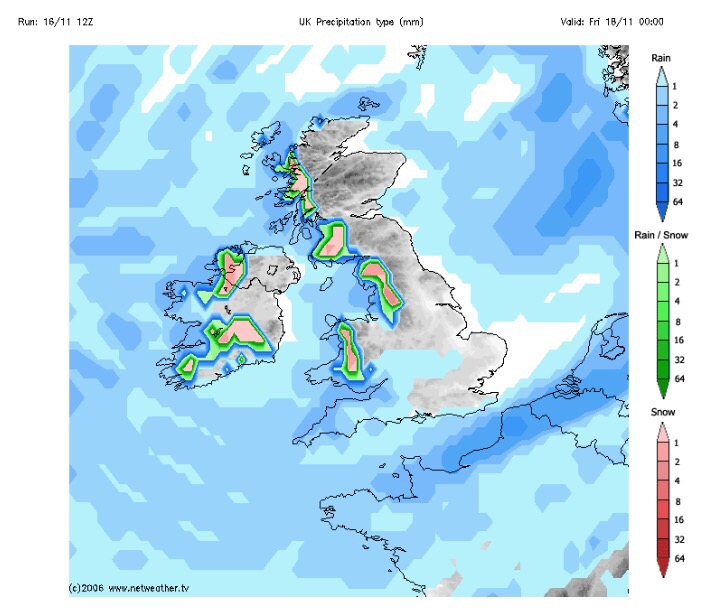
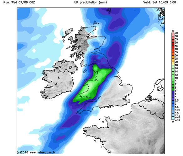
Well that certainly was an active week of weather. Snow for many places above 250M on Friday morning, followed by 45-50mph gusts and 2-3 inches of rain on Monday, with almost an inch falling in an hour, with serious flash floods following.
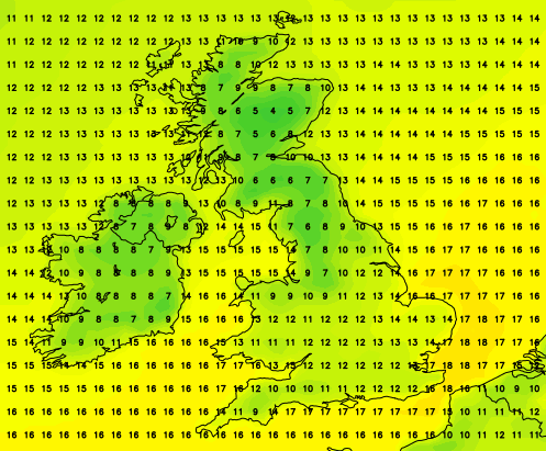
Here in Chadderton, some records were broken.
- 45mm of rain in 1 day beating Boxing Day 2015
- 21.6mm of rain in any 1-hour period
Again, I would like to thank all those that tweeted me with photos, videos and information about local roads affected. These kind of instant ‘news flashes’ keeps everyone in the know quicker than anything else.
After all that, we have a much quieter week ahead as November eases toward an end.
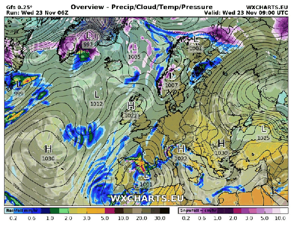
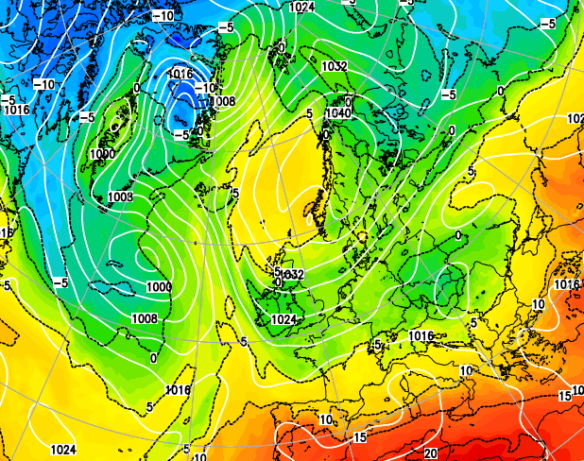
High pressure set to bring drier and settled conditions for the next 5 days
Thursday: A chilly start with a local patchy frost. A lovely day ahead with sunny spells and dry. A risk of an overnight frost. Max 8°C
Friday: Similar conditions with maybe more in the way of cloud as bright spells develop during the day. Max 8°C
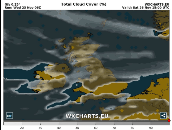
A lot of cloud expected this weekend – any breaks likely in western areas
Saturday: With an easterly feed now in place, we will drag in more cloud from the North sea. So although it should remain dry, it will feel colder with less sunshine on offer. The cloud however will mean a frost-free night. Max 7°C
Sunday: Little change from yesterday. Cloudy, feeling cold and in places, especially on the hills, the cloud might be thick enough for some drizzle. Max 8°C
Outlook: High pressure to start next week but it is replaced by some rain from the west. Remaining on the chilly side as we go through the week. Early signs point towards a colder start to December.
If you’re into weather charts then have a look at this website, http://wxcharts.eu/, some great charts, features and animations.
To keep up to date with the local weather around Manchester, Tameside and Lancashire then follow @ChadWeather on Twitter.
Thanks,
Jon
Image/GIF: http://wxcharts.eu/
Forecast issued at 16:00 on Wednesday 23rd November 2016