Hi all,
The final blog of winter 16/17 and what a disappointment it has been, when it comes to proper cold and snow. However, even though March is classed as Spring, I expect it will throw some cold spells at us with some snow before we feel the Spring warmth that we’ve all been waiting for.
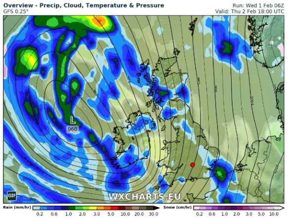
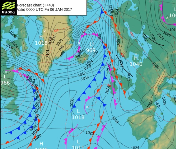
Before all that, Storm Doris, and with her, an AMBER weather warning which is not that common, even during winter. The storm is yet to form. It will be developing quickly as it approaches and crosses the UK. At the time of publishing these are the warnings: Yellow and Amber Weather Warnings.
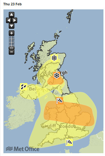
The warning areas – we just sit in the AMBER area
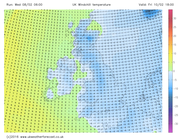
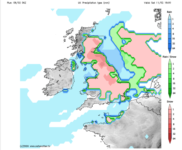
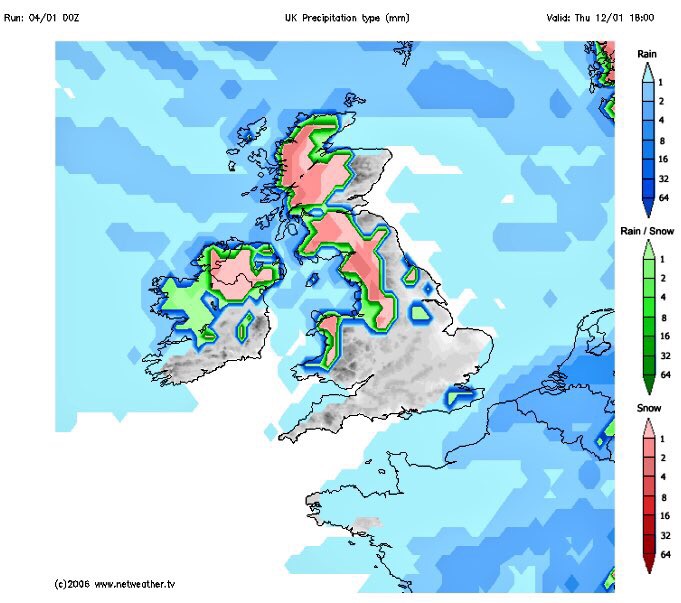
Thursday: Be aware that there could be disruptive weather with some structural damage. The day will dawn quite ‘calm’ with what’s to come, with some rain moving in from the west. The rain will become heavy and from mid-morning the winds will increase quickly. Widely we can expect gusts to 50mph. There will be a spell of windier conditions, where we could locally see 60mph gusts and perhaps up to 80mph in exposed places. These gusts are strong enough to damage property and uproot trees. The strongest gusts are expected to be between 11am-3pm but times may vary so watch out for updates on Twitter. As the storm moves through, the winds will turn northwesterly and introduce colder air, so don’t be surprised to see some sleet or snow from mid-afternoon onwards. This is more likely to fall on higher ground (above 300M) and on the Pennines where there will be a few inches. Although it will become less windy into the evening, we can still expect gusts to 40mph. Overnight, further wintry showers with possible hail and feeling colder. Max 9°C which will be during the morning.

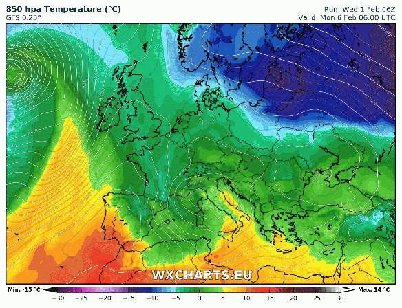
Storm Doris will bring a lot of snow to Southern Scotland and Northern England
Friday: A much quieter day. Once you have found your garden furniture, we can expect some showers early on but then drying up and remaining mostly cloudy with less wind. Further rain overnight. Max 6°C
Saturday: Early rain will move through but some blustery showers will follow on behind. Another spell of windy weather with gusts to 35-40mph. Milder. Max 10°C
Sunday: It should be a fine start with some bright spells. Cloud thickening later on as another low pressure comes in with some rain and breezy conditions. Max 9°C
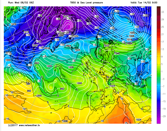
Looking ahead: Next week will start cooler with some showers. The rest of the week will see it slowly turn milder as the weather settles down. Drier conditions favourable but a lot of cloud once more. Let’s hope March sees a decent snowfall before we close the door on Winter 16/17.
Cheers,
Jon
Images: http://wxcharts.eu; http://www.netweather.tv; http://www.metoffice.gov.uk.
Forecast Issued: Wednesday the 22nd of February at 12:00pm