Hi all,
Two named-storms in a short period of time and even some snow showers last weekend confirms our weather remains in an unsettled state. As we enter the final meteorological winter month, I am still hopeful of some prolonged cold during mid-February and we can also always rely on March to bring us some wintry weather; so don’t put your sledges away yet.
Rain and milder conditions arrive once again on Thursday after recent cooler conditions. With this comes rain, initially heavy, but easing later on. Hill-drizzle may remain into the evening. Max 11°C.
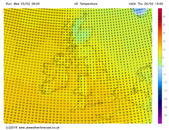
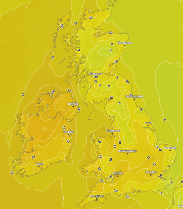
Max Temperatures for Thursday – back to double-figures
The flip-flop pattern continues into Friday as cooler air comes in from the north-west. This doesn’t look like arriving until later on into the late-evening, after a mainly cloudy day with some showery rain and hill-drizzle. Max 10°C.
A cold front will sink SE slowly on Friday bringing rain then cooler air
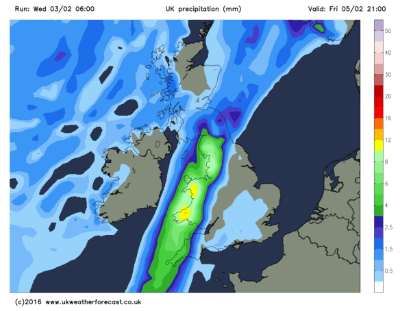
The weekend will be chilly and windy with showers at times and some cool nights. To be honest forecasting this weekend has been a bit of a headache with several what-if scenarios to deal with.
For Saturday, bright spells and some showers early on and it will feel colder than recently. Later on there is a good chance rain will spread in from the west and winds increase. Max 7°C.
Bright spells and showers on Sunday after early rain clears. If anything, maybe feeling a little cooler, especially in the fresh wind. Again, more general rain and wind later or overnight. Max 7°C.
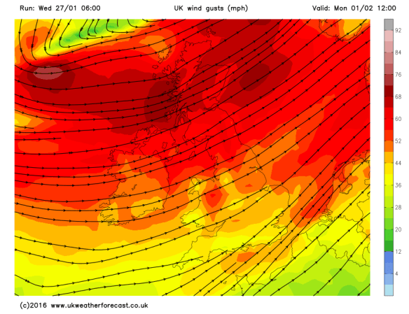
Looking at early next week it seems to remain chilly with some showers, which could be wintry at times over the hills. The week looks breezy throughout and there is a good chance we will see some more windy weather later on; perhaps another named-storm?
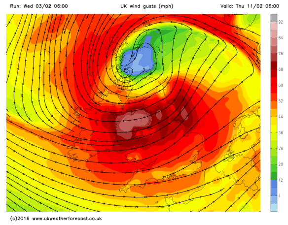
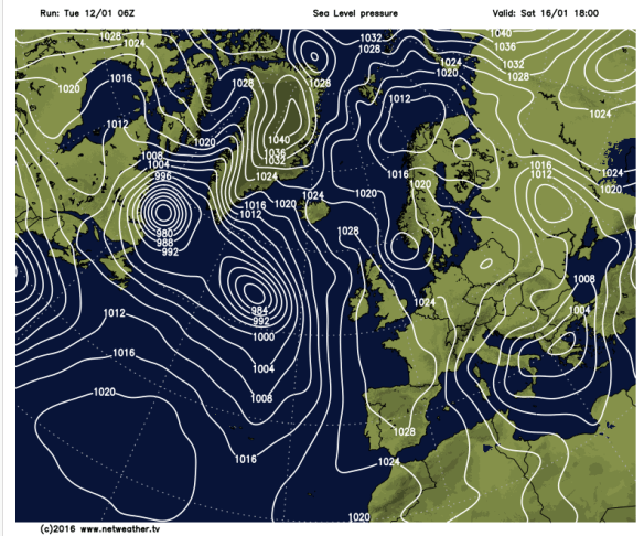
Another named-storm later next week – Storm Imogen?
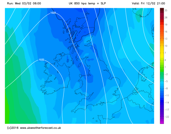
If the stormy weather comes off it could be followed by much colder Arctic air
January 2016 Stats
Av. Temp 5.3°C
Max Temp 13.2°C (24th)
Min Temp -2.7°C (16th)
Wettest Day 13mm (27th)
Highest Gust 45mph (27th)
Rainfall 129.8mm
Rainy Days 26
Follow @ChadWeather on Twitter to catch all the latest weather updates for Manchester and its surrounding boroughs.
Thanks for reading,
Jon
Photos/Data: http://www.ukweatherforecast.co.uk
Forecast issued at 16:30 on Wednesday 3rd of February 2016