
Hi all,
What a week. Rain, rain and more rain and also some mild temperatures which we haven’t seen for a while. Locally (but not at my weather-station) we reached double-figures for the first time in a month. Storm Christoph, so far, has delivered around 3 inches of rain to most places, with higher amounts being recorded in the hills. Flooding reported widely and more to come as the hills empty their load into the rivers. This storm triggered a couple of weather warnings, including an Amber one, something we don’t see too often. It will be interesting to see the final rainfall amounts come Thursday.

Thursday: First off on Wednesday night; Storm Christoph will have deepened and pushed away into the North Sea. As the process takes place we will have some windy weather for a time and the winds will switch to a north-westerly and much colder air will dig in. As this does so, some of the legacy rain will turn to snow, chiefly on the hills, then all of us will see a blustery day with wintry showers as the mercury drops. Icy stretches morning and night and where snow settles in the heavier showers (mostly above 250M) Max 4°C Min 0°C
Friday: Frosty start. Sunny spells and a few wintry showers feeding in from the Irish Sea. Feeling cold. Max 5°C Min -1°C
Weekend: Cold with wintry showers.
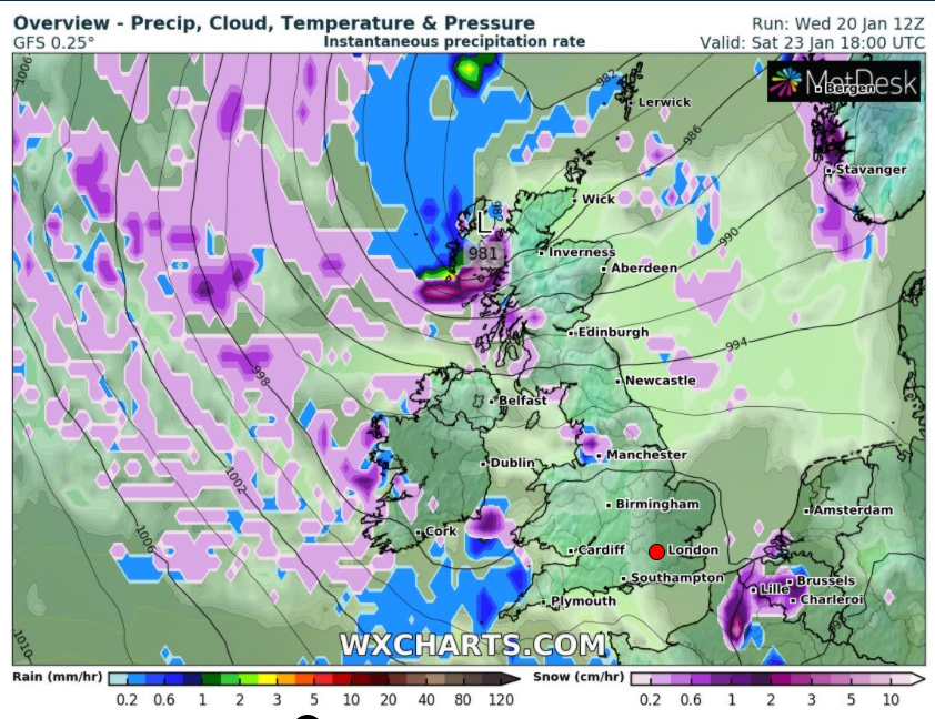
Saturday: Cold and mostly cloudy with some scattered sleet and snow showers from the north-west. A frost early and late with a few mist patches. Max 3°C Min -2°C
Sunday: Little change. Isolated wintry showers with snow settling on higher ground. Max 3°C Min -1°C
Outlook: A settled day on Monday with sunny spells after a frost. Heavy rain looks set to arrive on Tuesday preceded by snow on its leading edge as it bumps into the colder air. Again, this looks likely to be more so for areas above 250M. Milder air follows then a few days of cloudy conditions and showers.
For the latest forecasts follow on Twitter; @ChadWeather.
Thanks for reading,
Jon
Forecast Issued: Wednesday the 20th of January 2021 at 7:45pm
Images: http://www.netweather.tv/ & http://www.wxcharts.com/
