Hi all,
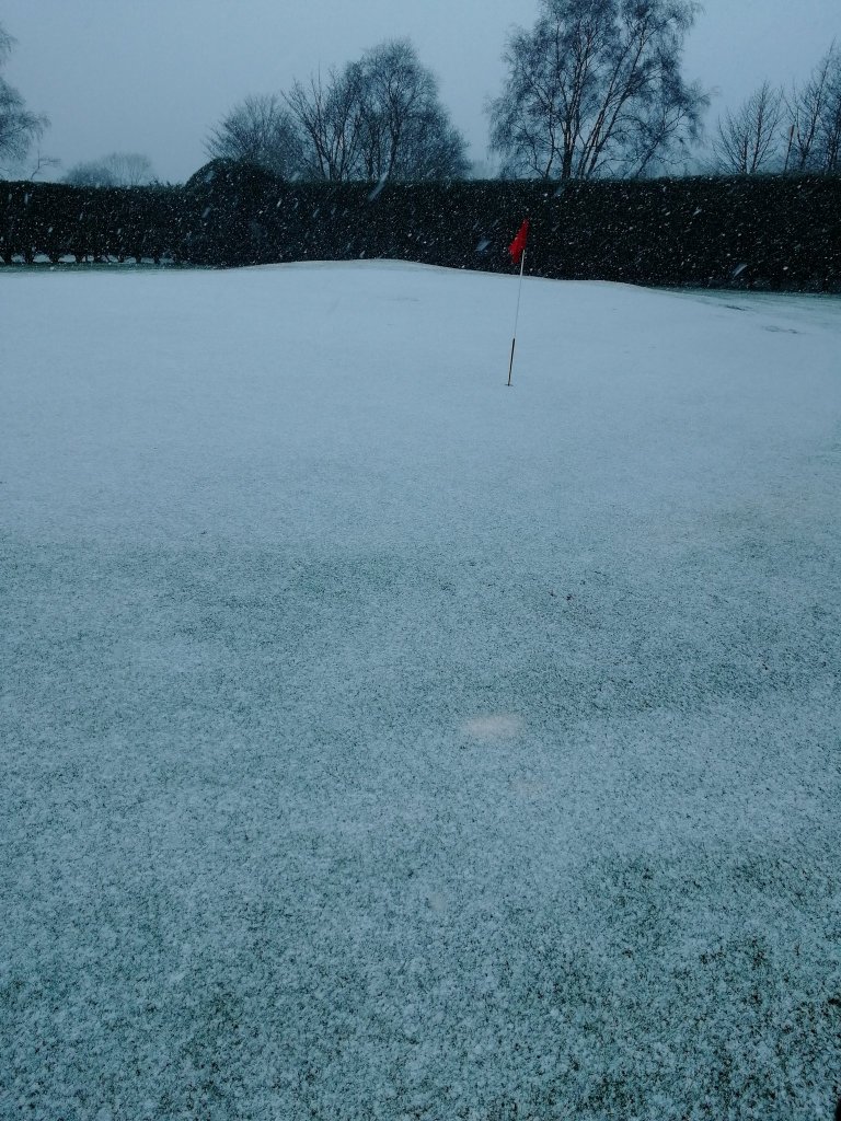
The very cold spell is nearly over after Arctic air spread sub-zero temperatures, a biting wind-chill and snow/graupel showers across the region earlier this week.

Records broken
Tuesday ended up being the joint coldest day I’ve ever recorded for April, only a max of 4.6°C and Tuesday night the coldest April night ever recorded at -3.8°C (locally close to -6°C in the countryside). Also, the lowest dew point ever recorded for April was broken at -9.8°C here at Chadderton HQ.
Thursday: Some patchy rain to start (hill sleet). Some showers into the afternoon and plenty of cloud. Winds now from the west so the Arctic air is out of here. Milder. Max 10°C
Friday: A cold front will push some patchy rain through during the morning then a much-improved afternoon with sunny spells. Cooler. Max 8°C
Weekend: Settled but still below average temperatures.
Saturday: Sunny spells and dry after a frosty start. Odd wintry shower might break out especially close to the hills. Cold northerly breeze. Max 8°C
Sunday: Frost to start then a similar day. Plenty of sunny spells, odd rogue wintry shower on a cold north-easterly wind. Max 8°C
Outlook: A lot of dry weather to come, which is great news. Patchy frost at night. Sunny spells by day with temperatures slowly recovering into double-digits. UV levels now approaching 4, so any lengthy sunny spells means you can start to work on your tan.
Follow @ChadWeather on Twitter for the latest forecasts.
April 2021 Stats
Max 20.7°C (31st)
Min -1.7°C (3rd)
Av. 6.6°C
Av. Dew Pt 3.4°C
Wettest 24.6mm (10th)
Av. Humidity 81%
Av. Barometer 1021.1 hPa
Max Gust 34.5mph (11th)
Av. Wind Direction WSW
Rain 102.6mm
Rain Registered Days 14
Dry Days 17
Air Frosts 3
Snow Falling Days 1
Thanks,.
Jon
Forecast Issued: Wednesday the 7th of April 2021 at 11:50am
