
Hi all,
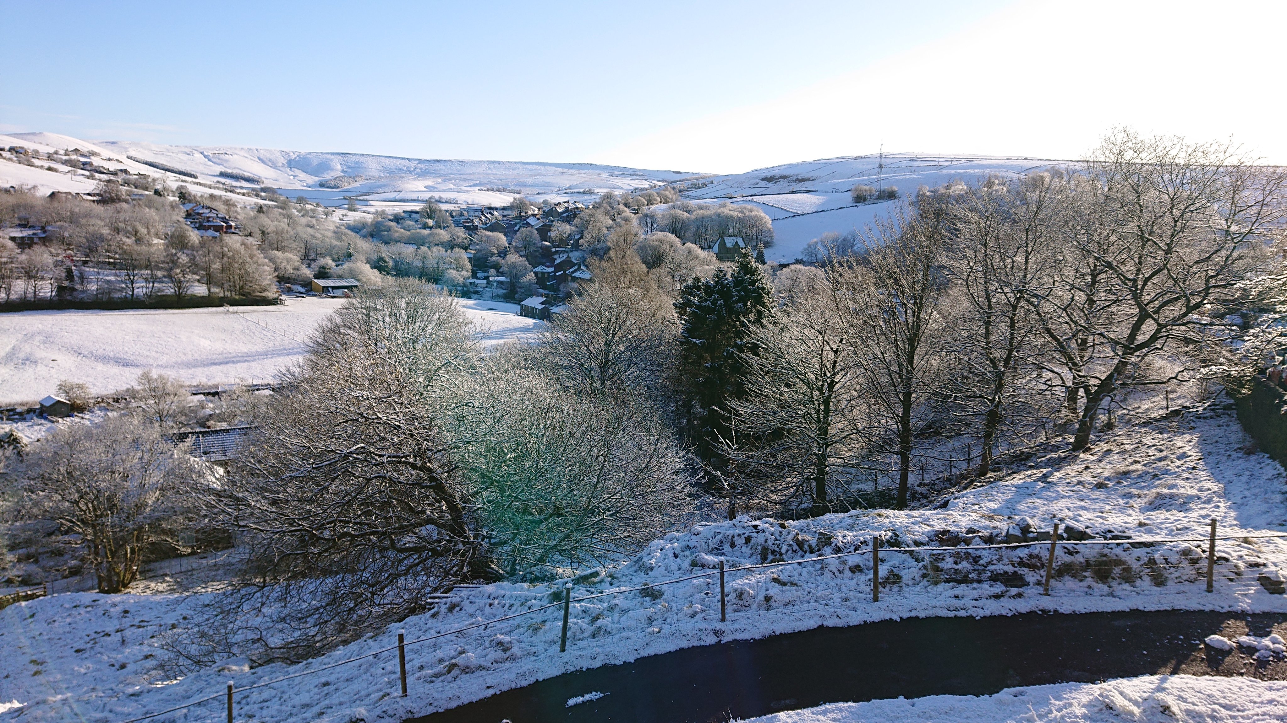
Wintry showers were in last week’s weekly blog but the amount of snow that fell in certain areas earlier this week was much more than expected. With Arctic air in place blue skies followed to give us some stunning scenery.
The outlook isn’t particularly cold but not warming up significantly either. But a lot of dry weather. This month is on track to be the driest I’ve ever recorded. Also some more frosts to come so gardeners beware.
Thursday: Frost to start with some mist and fog. Sunny spells the order of the day with a little cloud bubbling up. Max 11°C
Friday: Chilly start with a ground-frost. Sunny periods developing but more in the way of cloud likely later. Max 11°C
Weekend: Sunnier Saturday
Saturday: Sunny spells developing with any mist/fog clearing slowly, which could lead to some areas not seeing the sunshine until the afternoon. Light winds and less chilly. Max 12°C
Sunday: Weather-fronts out west will spill cloud in across the region so apart from the odd bright spell it will a cloudier day. Dry once. Max 13°C
Outlook: More cloud with perhaps some patchy rain moving through on Tuesday. I’ll be surprised if we see any rain to be honest. Midweek high pressure builds again so back to sunny spells, cool nights and lots of dry weather. Temperatures perhaps up to 15°C
Follow @ChadWeather on Twitter for the latest weather forecasts.
Thanks,
Jon
Forecast Issued: Wednesday the 14th of April 2021 at 8:45pm
