Hi all,
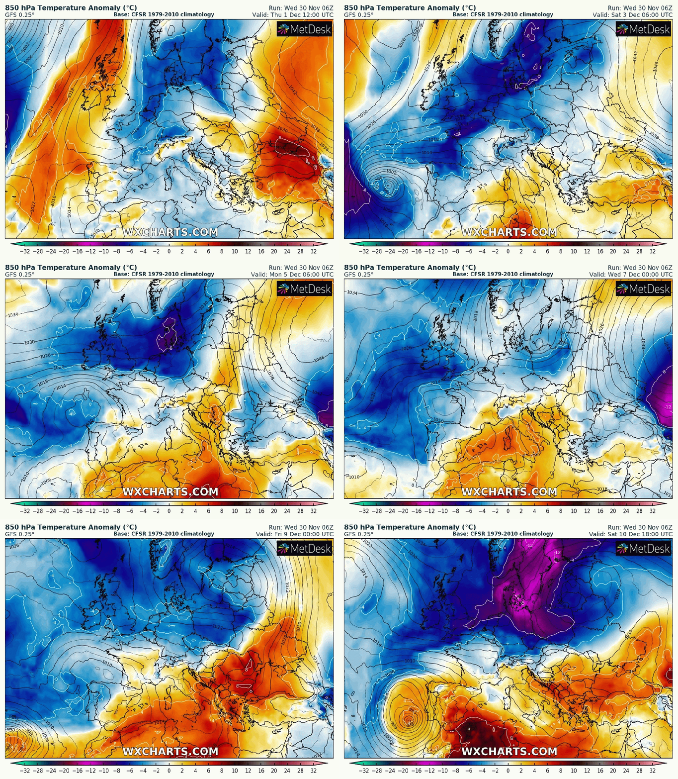
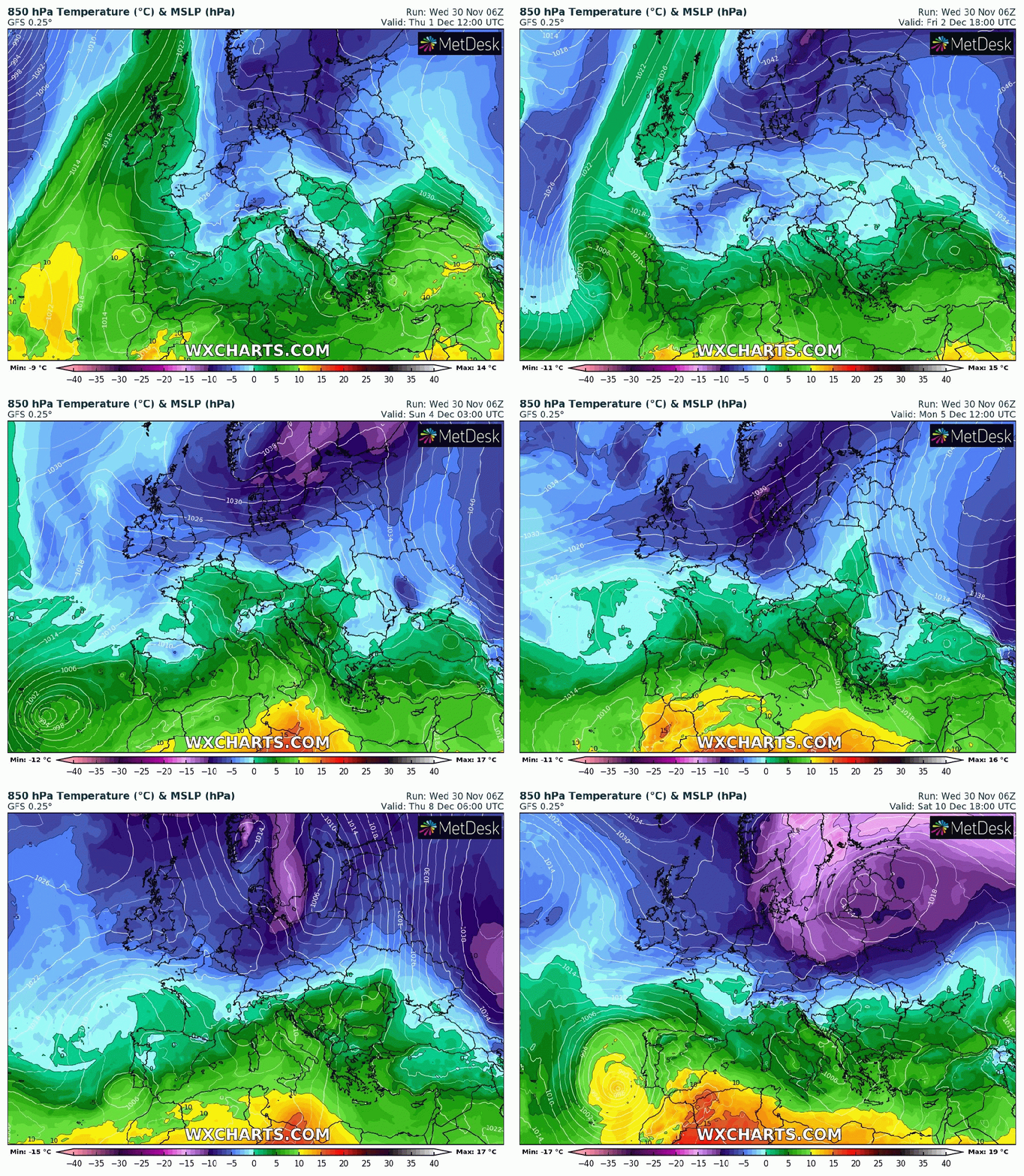
Winter, meteorologically-speaking is here. We ended Autumn as we start Winter, with below-average temperatures and with the weather set in a pattern. A huge high pressure across eastern Europe, originally building over Scandinavia is controlling our weather. When this happens, we can drag in cloud off the still relatively warm North Sea and hence have days on end of little change. The doom and gloom can come in the form of fog/low-cloud especially with little wind and with any brightness to the west or even as far west as the coast. We are currently in this predicament but slight changes are on the way.

Thursday: Similar to recent days. A lot of cloud, low-cloud on the hills, mostly overcast and cold. That said temperatures could be a degree of two up on recent days. Max 7°C
Friday: A slight easterly breeze in place with plenty of cloud being dragged in from the North Sea. The cloud could be thick enough at times for the odd patch of drizzle first-off. As the day progresses, little change but perhaps the odd bright spell to the west. Max 6°C
Weekend: Slowly colder with the breeze picking up leading to a windchill and showers possible.
Saturday: Generally cloudy with a raw easterly breeze. Mostly dry with any lucky spots seeing limited brightness, mainly to the west. Dry but the odd shower may occur. Max 5°C
Sunday: Overcast with a keen wind and cold with a feels-like temperature of 0°C. Can’t rule out an isolated shower which would be wintry on the tops of the Pennines. Max 5°C
Outlook: Very little change for the next couple of days but after that does look interesting as there’s the potential for high pressure to build towards Greenland and low pressure over Scandinavia which will allow for a cold northerly airflow to develop, straight from the Arctic. Nothing extremely cold but cold enough for a few snow showers, even to lower-levels. Temperatures look set to remain below-average with the risk of wintry showers increasing. The second week of December could see a battlefield developing. Will milder air push in from the south-west or could it turn much colder from the east; not exactly what we need with energy prices! Watch this space.

Follow @ChadWeather on Twitter for the latest forecasts and warnings.
Thanks,
Jon
Forecast Issued: Wednesday the 30th of November 2022 at 7:50pm.
Images: http://www.wxcharts.com
