
Hi all,
The typical autumnal weather continued over the past week with further rain taking the month total to 95mm. The recent pattern is set to continue then a few models are hinting at a drier, more settled start to December with a possible cold spell with frost and fog on the horizon.
Thursday: A bright start with some sunny spells. Winds will increase, locally 35mph later, as cloud thickens from the southwest. A band of rain, some heavy will move through the region during the afternoon. Showers follow later. Max 9°C
Friday: Not a bad day with sunny spells after morning-showers fade away. Windy though. Max 10°C
Weekend: Rain returns but milder.
Saturday: Any brightness fading as cloud thickens into the afternoon. Rain will arrive later and it will bring with it milder air from the south-west. Windy. Max 11°C
Sunday: Early rain clears to a mostly cloudy picture and the odd scattered shower. Breezy. Max 11°C
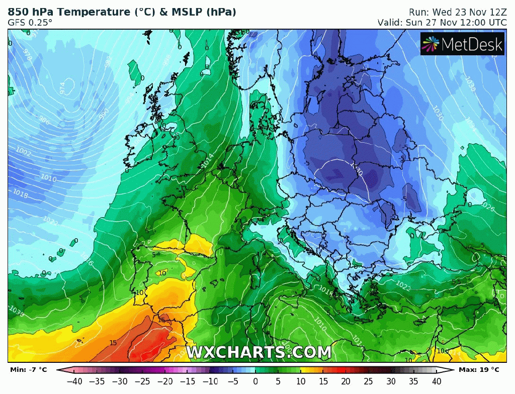
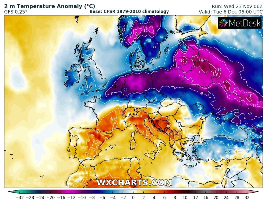
Outlook: Becoming cooler again with temperatures around or perhaps just below average. Some rain or showers at first but high pressure is favourable to build in and settle things down; so becoming drier and with some frost and fog where skies clear. Beyond that there are a few hints of a cold easterly or north-easterly airflow setting up which could deliver the first cold spell of winter. For now though, as always, it’s too far away to confirm.

Follow @ChadWeather on Twitter for the latest forecasts and warnings.
Thanks,
Jon
Forecast Issued: Wednesday the 23rd of November 2022 at 6:30pm
Images: http://www.wxcharts.com
