
Hi all,
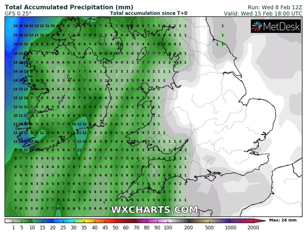
Little change in the set up of the weather over the next week. High pressure to our south-east, and it’s a big strong one and it will continue to keep the unsettled weather away to our northwest. Any weather-fronts that do make it down through the region, like the one coming tonight, will weaken quickly and produce little rain.
Talks of SSW in the weather community at the moment. It’s now looking likely. This doesn’t guarantee a Beast from the East later this month/early-March but it can mean colder-than-average weather. Read more below from the Met Office’s blog. More about the possibility of colder weather from me next week.
Are we expecting a Sudden Stratospheric Warming?
Thursday: After a weak band of patchy rain overnight, Thursday looks a reasonable day with some sunny spells and high-cloud at times. Perhaps cloudier towards evening. Breezy and temperatures just above average. Max 8°C
Friday: A mostly cloudy day with a steady breeze from the south-west. A warm-front will introduce slightly milder air. The cloud could be thick enough for some hill-drizzle. Max 9°C
Weekend: Milder but little in the way of sunshine and mostly dry.
Saturday: Again we can expect cloudy skies with hill-drizzle in a few spots. Some eastern parts might see the odd brighter spell which will help to lift temperatures. Max 11°C
Sunday: Little change. A south or south-easterly airflow, with a lot of dry and cloudy weather. Still mild but temperatures could be a little lower than yesterday. Max 10°C
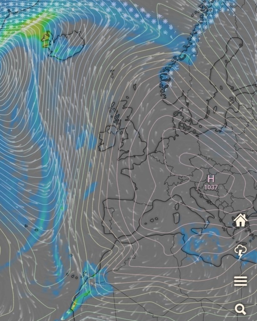
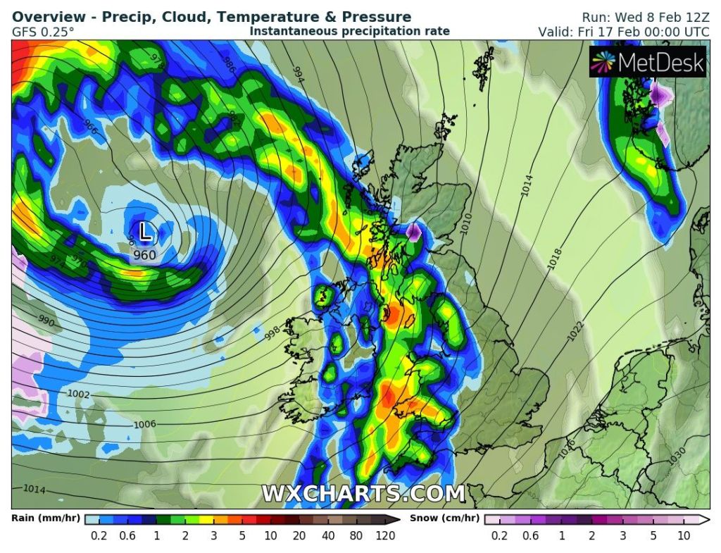
Outlook: Little change and no sign of anything significantly cold or snowy and the week looks mostly dry. Some signs of more unsettled weather sneaking down from the northwest towards the end of the week.
Follow @ChadWeather on Twitter for the latest forecasts and warnings.
Thanks for reading.
Jon
Forecast Issued: Wednesday the 8th of February 2023 at 8:35pm
Images: http://www.wxcharts.com and Windy.com.
