Hi all,
A bit of a late posting today, but I’m finally here with the usual weekly outlook on what our weather’s going to throw at us. It’s certainly not going to disappoint this week.
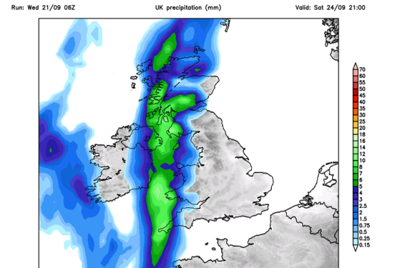
Thursday: Cold and windy. Showers of rain and possibly hail and thunder. Some sleet for the hills. There is a chance of more prolonged rain during the morning. 6°C
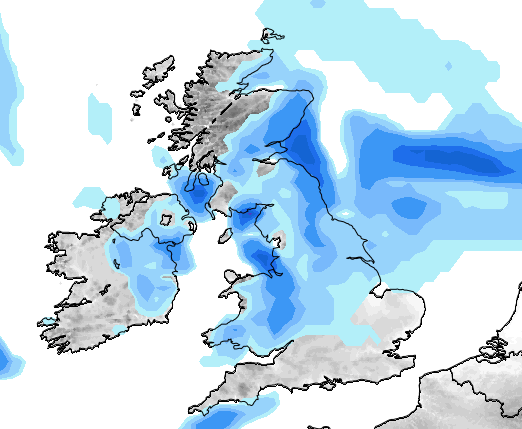
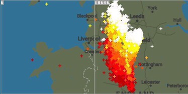
**There is a possibility that wintry showers will merge together to bring a spell of sleet or snow overnight on Thursday, especially above 200M. One to keep an eye on via my tweets**
Possibilities of some localised sleet and snow overnight Thursday and into Friday morning. Above 200M most at risk.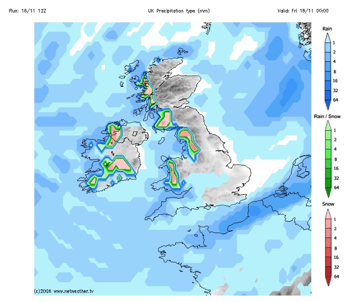
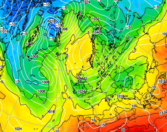
Friday: Possibly a wintry start as mentioned, then feeling quite bitter with a stiff northwesterly wind and some wintry showers. Sunny spells during the day mixed in with those showers. Showers dying away overnight leading to a frost. 5°C
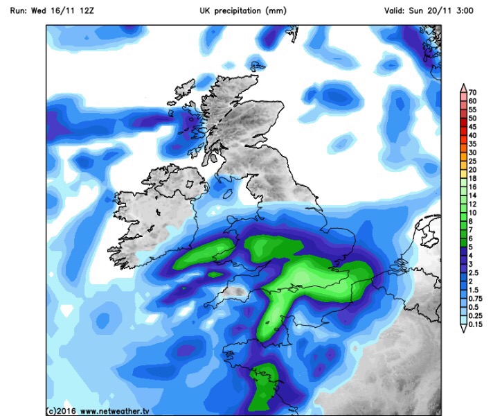
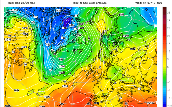
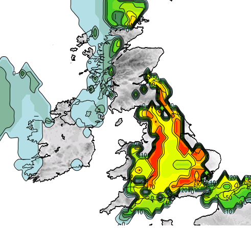
Heavy rain arrives on Sunday, preceded by Pennine-snow?
Saturday: Frosty start, then a typical pleasant, autumnal day. Sunny spells, just the odd wintry shower but with lighter winds it won’t feel as cold as previous days. 6°C
Sunday: Another cold start with a touch of frost. Cloud soon thickening and the wind increasing as heavy rain, possibly preceded by hill-snow for a time, moves in from the south-west. There is a good deal of uncertainty about how strong the winds could be and how heavy the rain will be so keep your eyes on my tweets. A cold raw feeling day. 7°C
Looking ahead and it’s set to stay cold with unsettled conditions close by.
Keep up to date with your local weather by following @ChadWeather on Twitter.
Cheers,
Jon
Images: http://www.netweather.tv
Forecast issued Wednesday 16th November at 18:30.